
Mapping the Earth's crops with the help of AI can help farmers and policymakers improve planning
29th March 2025
Mapping the Earth's crops with the help of AI can help farmers and policymakers improve planning
29th March 2025
Mapping the Earth's crops with the help of AI can help farmers and policymakers improve planning
23-24
Apr

25th February 2025
New, greener software model could democratize access to geospatial analysis
25th April 2024
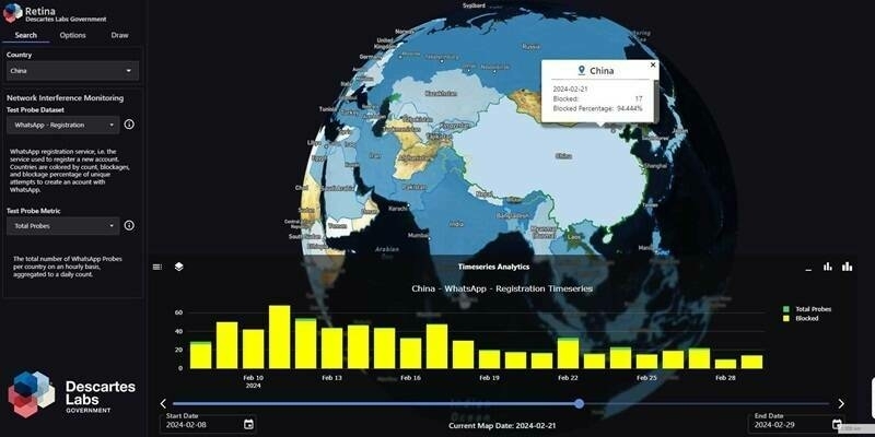
Descartes Labs Government Launches Retina at GEOINT 2024, Fusing OSINT and GEOINT into a Single Pane of Glass
20th March 2024
GMV has been awarded the contract to develop the SKA telescopes’ Timescales
20th December 2023
xyzt.ai Elevates Big Data Spatial and Temporal Analytics with V2023.4 Update
11th September 2023
German Start-up Rasdaman GmbH and Airbus Defence and Space Team Up on Datacubes
6th July 2023
Esri Partners with Databricks to Bring Spatial Analytics Functionality to the Lakehouse Platform
19th June 2023
HxGN EAM Python Framework now available from Hexagon
16th April 2023
We’ve come a long way – and we know exactly where that is
1st March 2023
Climate Change Monitoring: CUBE4ENVSEC Growing


7th October 2022
How the car industry relies on protecting privacy
19th July 2022
xyzt.ai Wins Maritime Innovation Challenge by INEOS and Port of Antwerp


10th December 2021
Microsoft and Esri Deliver Centralized Satellite Image Analysis in Azure Orbital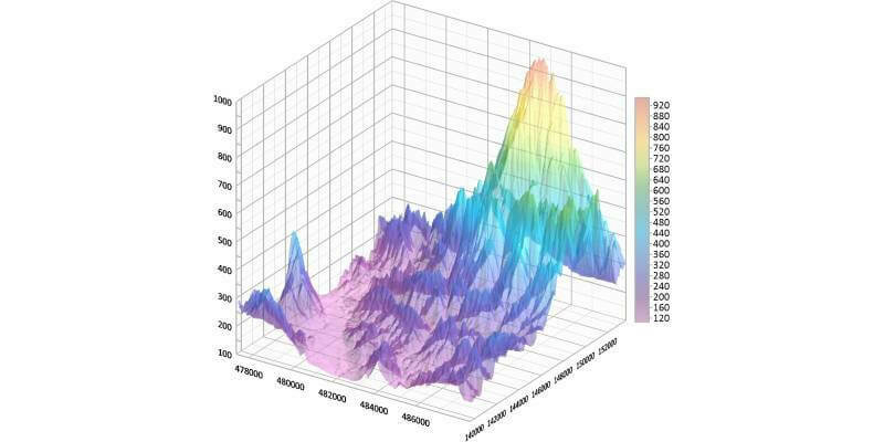
9th December 2021
Golden Software Improves Plotting Flexibility and Ease of Use in Latest Grapher Software Release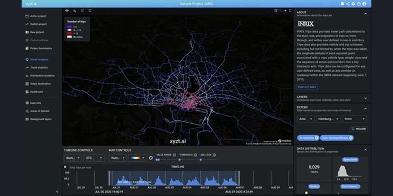
14th October 2021
xyzt.ai announces the availability of mobility data from INRIX on the xyzt.ai platform
1st July 2021
New tech from Maptek to uncork geology bottleneck
13th May 2021
CATALYST Develops Automated Workflow for South African National Space Agency to Convert SPOT Archive to Analysis Ready Data7th May 2021
Moscow hosts international online forum - the Smart Cities Moscow
29th April 2021
Automated harmony or destined for discord?


16th April 2021
Google, Inc extends contract with 1Spatial
26th March 2021
How we deliver continuous data improvement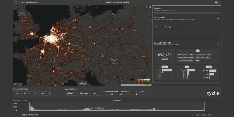
10th March 2021
xyzt.ai, the big location data analytics platform, leverages start.io mobile data to boost retail recovery
27th January 2021
L3Harris - You're Invited to Spectral Sessions!
14th January 2021
1Spatial partners with Environment Agency and Defra

15th December 2020
Kongsberg Geospatial Announces New Tactical UAS Sensor Data Management Solution
11th December 2020
1Spatial Awarded Safe Software’s Partner Award of Excellence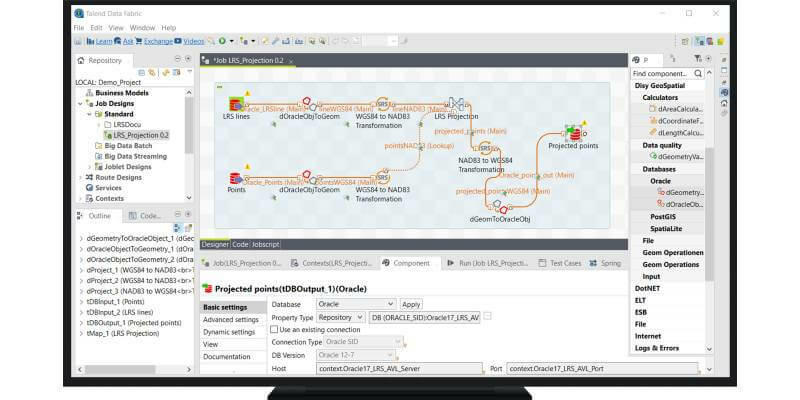
10th December 2020
SFMTA speeding up mobility data using Talend Software and spatial ETL plugin from Disy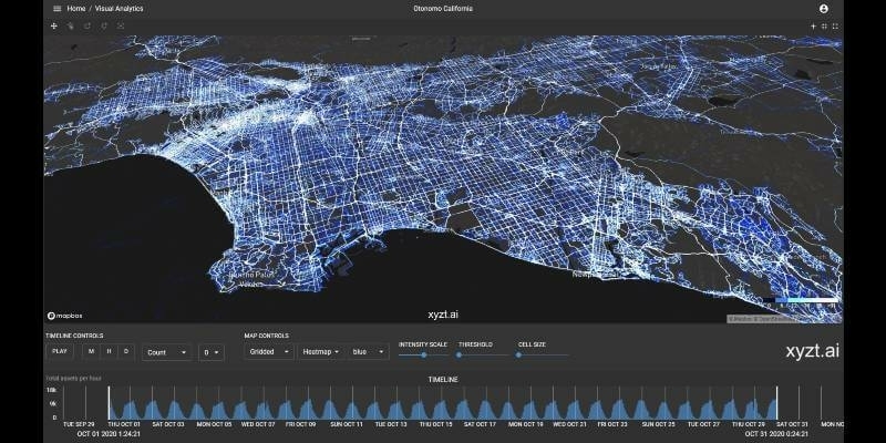
3rd December 2020
xyzt.ai analytics platform leverages Otonomo’s connected vehicle data boosting traffic management visualization capabilities
2nd December 2020
Free Webinar | Solve Geospatial Problems with Deep Learning
9th November 2020
OGC simplifies EO data access and analysis through novel, standards-based technique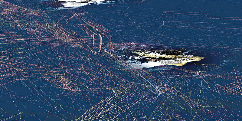
29th October 2020
How a maritime collision avoidance system is making an impact
29th October 2020
1Spatial partners with Environment Agency and Defra to enable automatic quality-assured and timely geoCOBie asset information delivery from suppliers
18th September 2020
RiCAST: Artificial Intelligence: A Geospatial Revolution