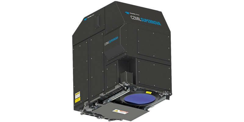
Teledyne Geospatial's Optech CZMIL SuperNova integral to Tetra Tech's award-winning project
3rd March 2025
Teledyne Geospatial's Optech CZMIL SuperNova integral to Tetra Tech's award-winning project
3rd March 2025
Teledyne Geospatial's Optech CZMIL SuperNova integral to Tetra Tech's award-winning project
25th February 2025
Celestia Reports Strong Performance & Growth In 2024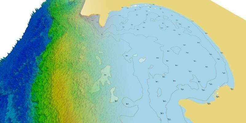
21st February 2025
TCarta Announces Satellite Derived Bathymetry Product to Supplement Official Nautical Charts in Shallow Coastal Zones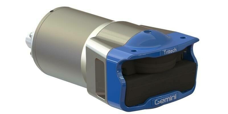
3rd February 2025
Tritech Announces Launch of New Gemini 1200id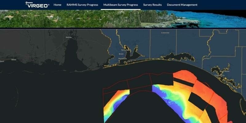
8th January 2025
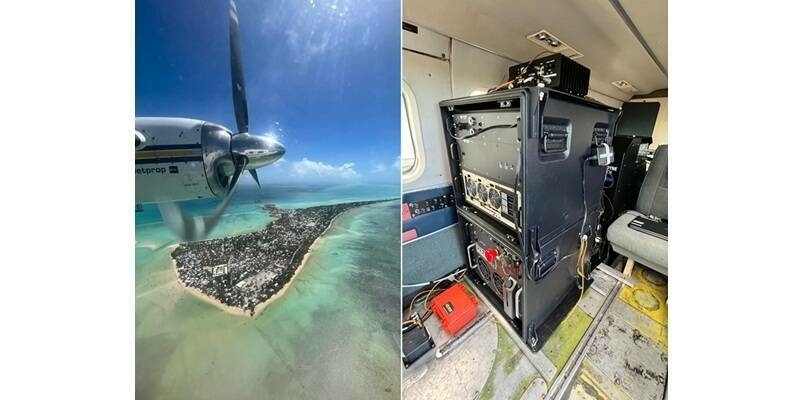
Fugro leads large-scale seafloor mapping project to protect Florida’s coast
11th December 2024
STR gears up for growth after investment deal with Star Capital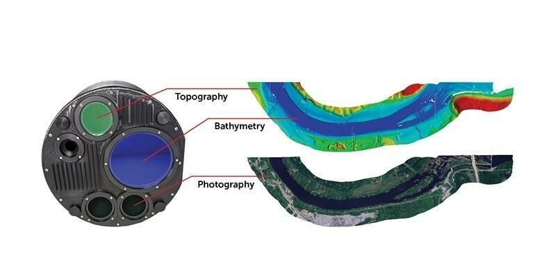
31st October 2024
Teledyne Geospatial to present an exclusive preview of its new coastal mapping solution at HYDRO 2024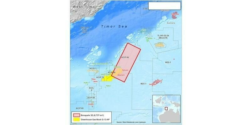
25th October 2024
Viridien and SLB complete the data acquisition for a multi-client survey in Bonaparte Basin, offshore Australia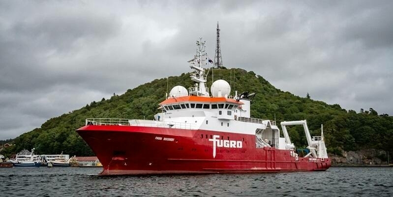
4th October 2024
Fugro extends role in Norway’s 2024 MAREANO programme for seabed mapping with eDNA service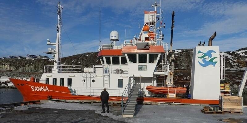
5th June 2024
Cube4EnvSec Linking Ship Sensors into Federation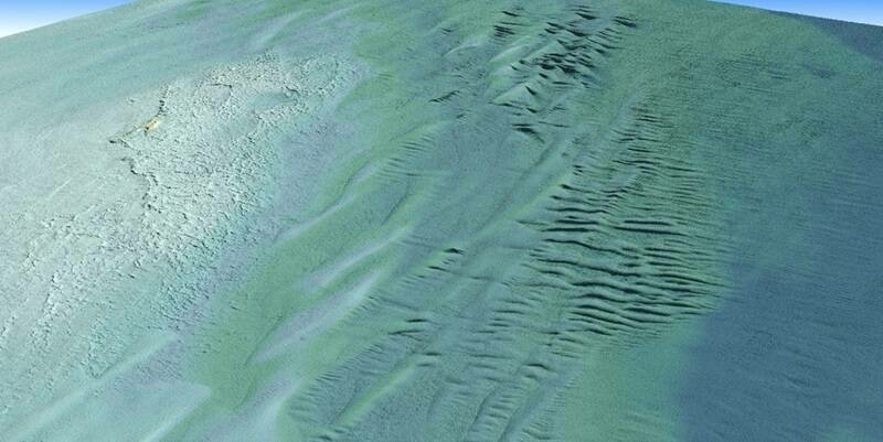
13th March 2024
Tetra Tech purchases Teledyne’s CZMIL SuperNova to successfully complete NOAA's Great Lakes Coastal Mapping project
8th March 2024
Fugro’s ROV Induction course is coming to Australia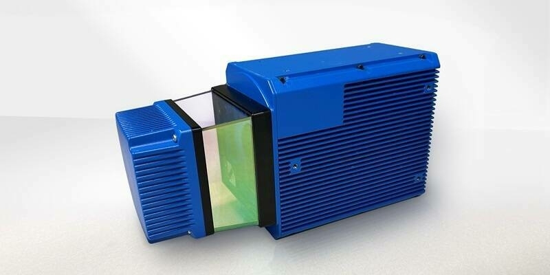
1st March 2024
Teledyne Geospatial to bring new Optech hardware and CARIS software solutions to Oceanology International 2024
23rd February 2024
Reaching New Depths: New RIEGL Laser Scanning Solutions for Bathymetric Data Acquisition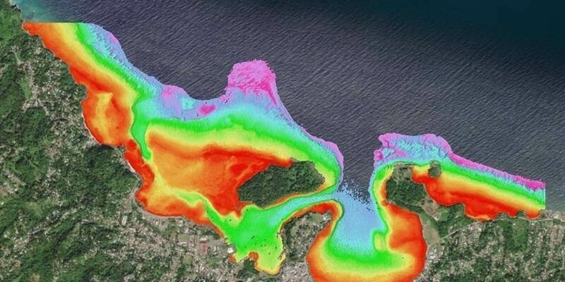
6th February 2024
TCarta Plans Bathymetric Mapping Workshop for Jamaica with Seabed 2030 Funding
17th January 2024
Introducing the YellowScan Navigator: a groundbreaking bathymetric LiDAR System dedicated to coastal and river mapping from drones
21st December 2023
Ferd invests in ocean technology group General Oceans
12th December 2023
TDI-Brooks Completes 2D High Resolution Seismic Program Off Trinidad
25th September 2023
Fugro supports coastal resilience in Florida with new seafloor mapping contract
15th June 2023
TCarta to Deliver Satellite Derived Bathymetry for 13 Regions to National Geospatial-Intelligence Agency
14th April 2023
TCarta Expands Role in Seabed 2030 Ocean Survey Project
12th April 2023
The countdown to next week’s Ocean Business 2023 is on!
23rd March 2023
Ocean Business 2023 conference programme announced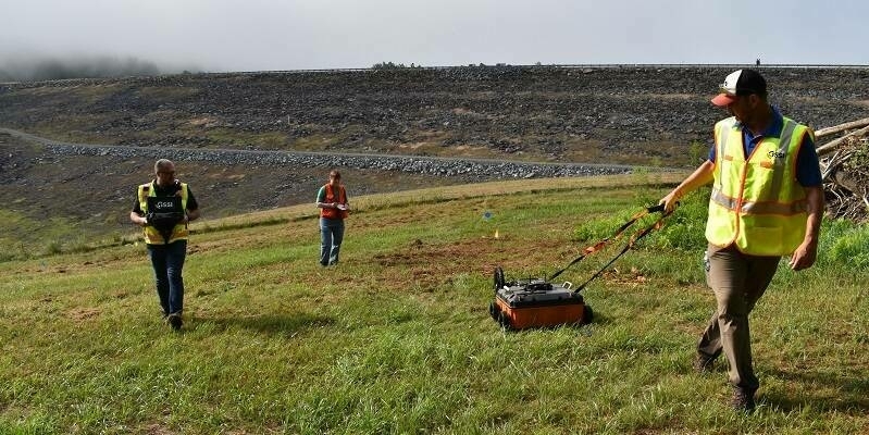
7th March 2023
GSSI Highlights 200 HS Antenna for Applications Requiring Deeper Penetration Depths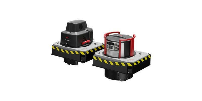
14th February 2023
Leica Geosystems announces performance upgrades for airborne deep bathymetric surveys
16th January 2023
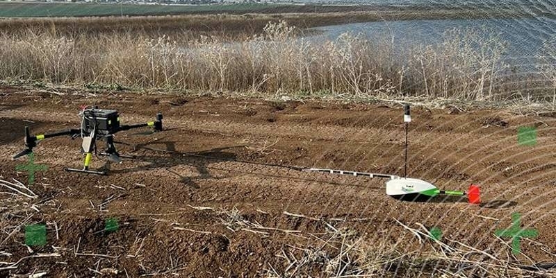
TOPODRONE synchronized LiDAR and bathymetric surveying methods to study a floating solar farm in Israel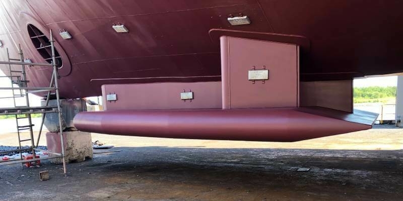
13th December 2022
TDI-Brooks Upgrades Deepwater Multibeam To Em304 MKI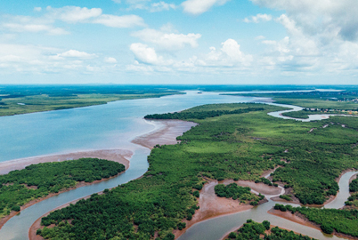
7th December 2022
Coastal concerns: how data can help us understand the pressure of climate change
2nd November 2022
Fugro and National Maritime Safety Authority improve Papua New Guinea’s navigation safety
6th October 2022
UKHO provides bathymetric surveys for the Seabed 2030 project
13th July 2022
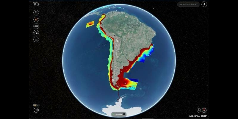
Seabed 2030 Enters New Partnership with Terradepth in a Collaboration That Will Boost Project’s Crowdsourcing Initiatives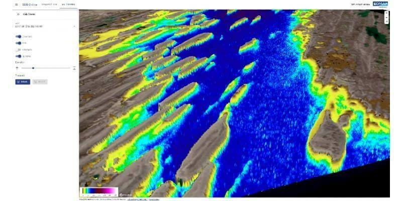
9th June 2022
EOMAP launches SDB-Online, the new WebApp for Satellite-Derived Bathymetry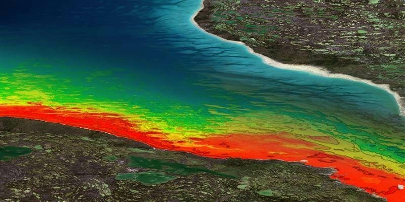
7th June 2022
TCarta Opens Canadian Affiliate Office to Provide Hydrospatial Mapping Services Across Canada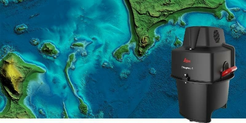
1st June 2022
Leica Geosystems announces major performance increase in airborne bathymetric survey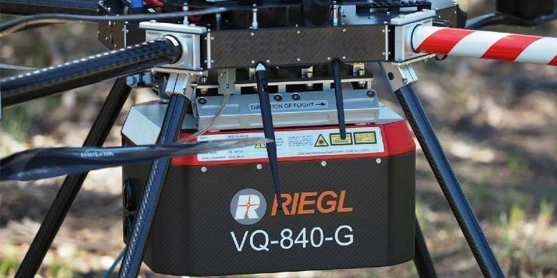
16th May 2022
Riegl Australia: Successful Integration Of The VQ-840-G Into Heavy-Lift Industrial Drone25th April 2022
Showing off at Oceanology International London 2022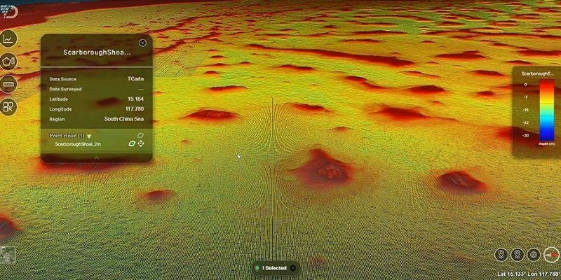
13th April 2022
TCarta to Showcase Satellite-Derived Bathymetric Products on Absolute Ocean Platform at GEOINT 2022
22nd March 2022
Fugro supports NIOT’s coastal community development plan with a large-scale bathymetry survey in India
10th March 2022
Sonardyne navigation and positioning technology helps locate Shackleton’s historic Endurance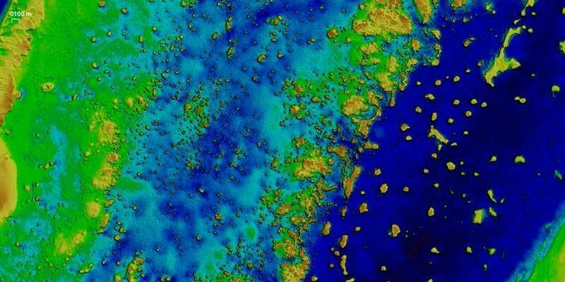
10th February 2022
EOMAP awarded new survey contract by UKHO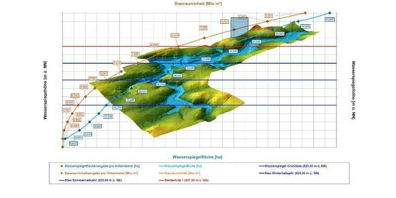
8th February 2022
High-precision 3D surveying of the Liebensteinspeicher reservoir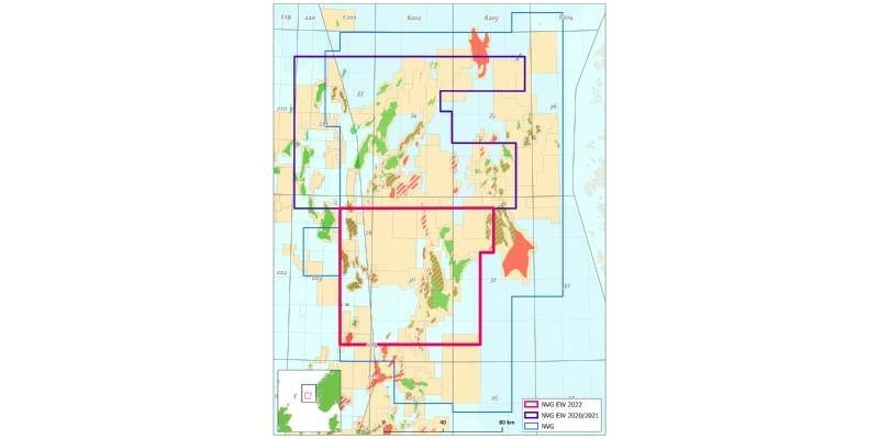
11th January 2022
CGG Confirms 2022 Phase Three of Northern Viking Graben Dual-Azimuth Multi-Client Survey
16th December 2021
Hexagon’s R-evolution expands its sustainability agenda to help protect coastal blue carbon ecosystems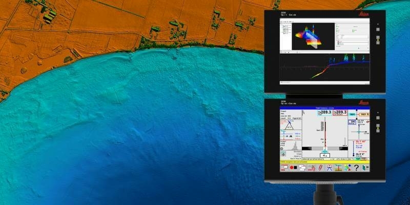
18th November 2021
Hexagon announces partnership with Airbus for near real-time airborne bathymetric LiDAR surveillance system