Terra Drone India partners with Canadian CAD/GIS market leader Geo-Plus
3rd December 2019
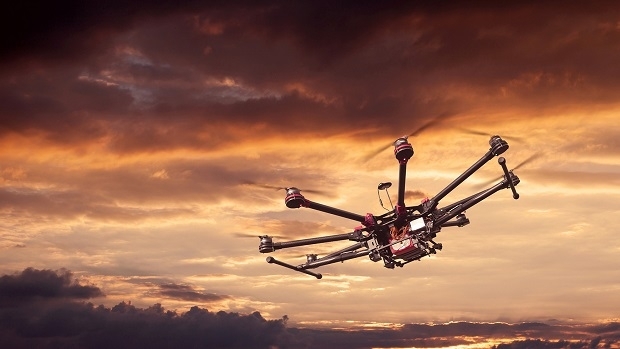
Terra Drone India partners with Canadian CAD/GIS market leader Geo-PlusTechnologies that provide tracking and navigational functions for unmanned, autonomous and semi-autonomous vehicles on land, at sea and in the air, and use cases on their practical deployment
This topic covers the technologies that provide tracking and navigational functions for unmanned vehicles of all types, on land, at sea and in the air. These technologies include satellite-based navigation (GNSS) receivers, Inertial Navigation Systems (INS), Acoustic Positioning Systems (APS) and other sensors for situational awareness (radars, Lidars, optical and infrared cameras, ultrasonic, etc). Use cases for the deployment of these technologies in unmanned vehicles embraces land surveying, construction and urban planning, underwater exploration and asset management, archaeological and heritage studies, environmental monitoring, conservation, utility surveys, insurance risk surveys, built infrastructure surveys and inspection, defence applications, open cast mining, forestry and agriculture, traffic management, emergency services, search and rescue, humanitarian support, disease control and healthcare, merchandise delivery and weather forecasting
3rd December 2019
Terra Drone India partners with Canadian CAD/GIS market leader Geo-Plus
29th November 2019
Drone mapping takes off in Malawi with Pix4D & UNICEF
28th November 2019
FREQUENTIS and A1 to make drone flights safer
26th November 2019
Terra Drone Indonesia Performs Flare Stack Inspections for Chevron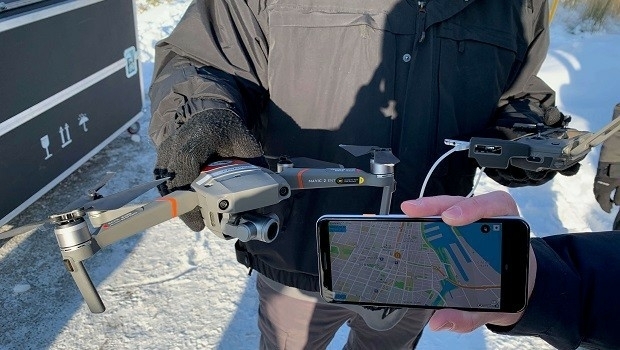
15th November 2019
DJI Demonstrates Direct Drone-To-Phone Remote Identification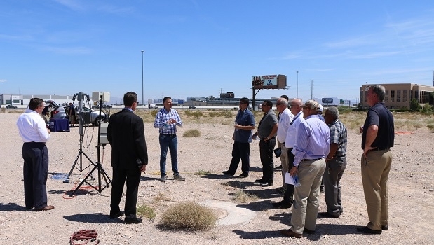
15th November 2019
NIAS launches World’s Premier B2B Trade and Investment Matchmaking Platform
12th November 2019
Commercial UAV Expo Americas 2019 Completes 5th Annual Event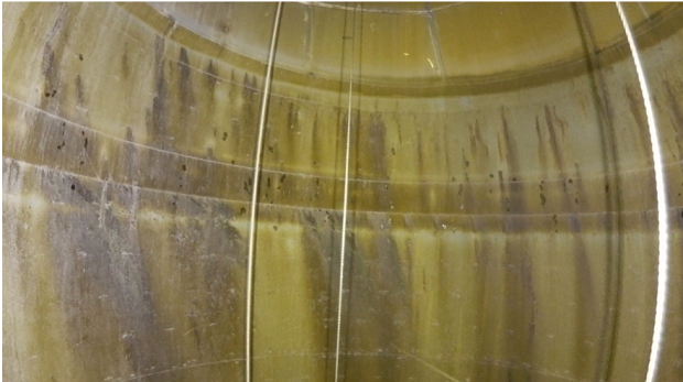
7th November 2019
Terra Drone conducts 160m chimney inspection at thermal power plant in Japan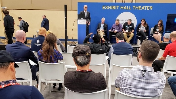
4th November 2019
A2Z, Agrowing, and SolSpec win Pitch the Press at Commercial UAV Expo Americas 2019
4th November 2019
AirMap Brings UTM Services to Enterprises with Drone Operations Center

31st October 2019
The Asia Defence Expo & Conferences Series
31st October 2019
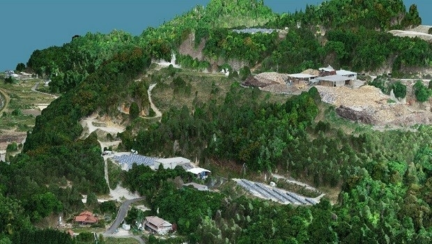
Major wood chip exporter now prefers drones to calculate stockpile volumes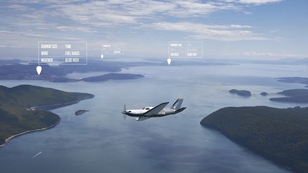
31st October 2019
Garmin releases first Autoland system for general aviation aircraft
30th October 2019
Memorandum of Understanding for Utilization of Drone in Global Health Field

24th October 2019
Kick Off FAA National Drone Safety Awareness Week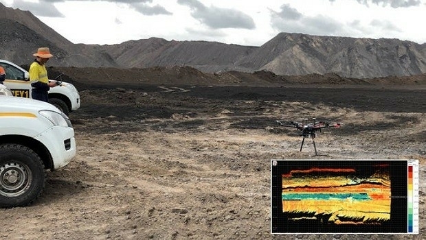
23rd October 2019
Riegl will be attending, exhibiting and presenting at Commercial UAV Expo 2019
18th October 2019
Registration closing soon for SMi’s 5th Annual Airborne ISR Conference next week
17th October 2019
2019 Commercial UAV Expo Americas to Break Exhibitor & Attendance Records
10th October 2019
Terra Drone group company C-Astral fields mini UAS ATLAS C4EYE
8th October 2019
UAVOS Unmanned Helicopter Robinson for Precision Farming
27th September 2019
Successful SAFIR Open Day at Port of Antwerp
23rd September 2019
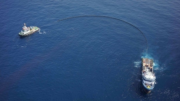
Terra Drone Angola uses UAV in offshore mock oil spill response

12th September 2019
100+ Presenters and Panelists on Roster for Commercial UAV Expo Americas October 28-30, 2019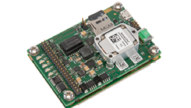
11th September 2019
Septentrio unveils a new GNSS/INS receiver for Unmanned Aerial Systems
9th September 2019
Terra Drone expands to Australia with investment in leading local UAV services provider
3rd September 2019
General Atomics Aeronautical Systems to sponsor SMi’s UAV Technology conference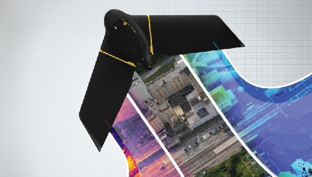
23rd August 2019
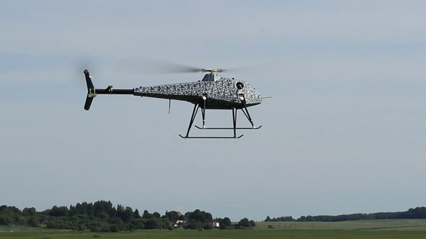
UAVOS has developed an unmanned helicopter to be manufactured in UK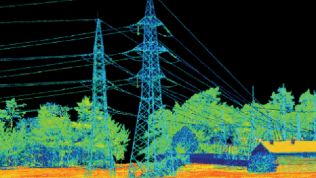
19th August 2019
LIDAR AND BVLOS UAVS: ENABLING THE ULTIMATE SOLUTION FOR HIGHLY EFFICIENT MAPPING
16th August 2019
Commander of the US Air Force’s U2 Wing to Present at the 5th Annual Airborne ISR Conference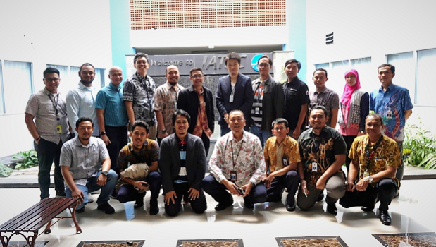
14th August 2019
Terra Drone showcases UTM system to Indonesia’s air traffic controller AirNav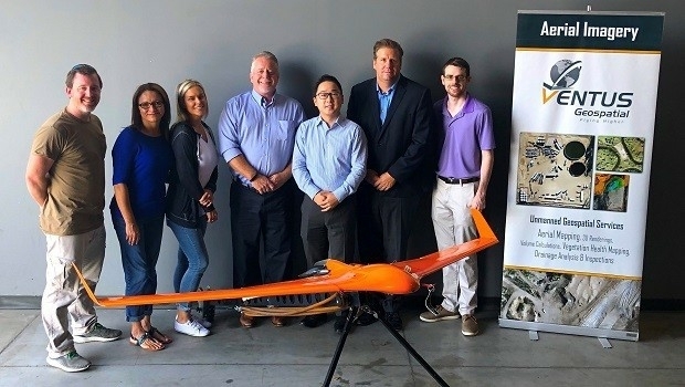
8th August 2019
Terra Done is partnering with US-based Ventus Geospatial
6th August 2019
SimActive Used to Validate Accuracy of DJI Phantom 4 RTK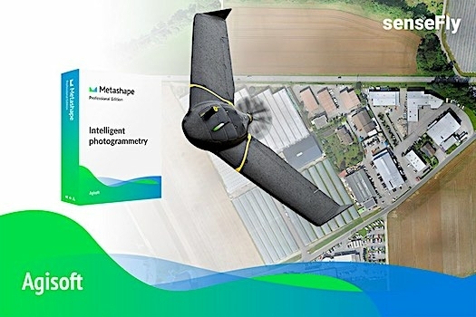
25th July 2019
Introducing the senseFly eBee X with Agisoft Metashape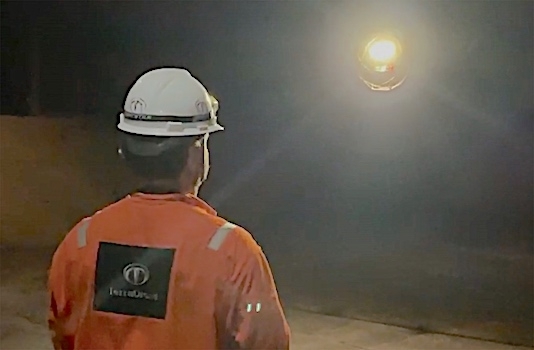
23rd July 2019
Terra Drone Brazil complete Brazil’s first FPSO tank inspection23rd July 2019
Master Class 4: Vertical Mobility in Urban Environments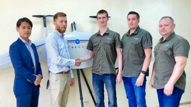
19th July 2019
Japan’s Terra Drone gains footing in Central Asia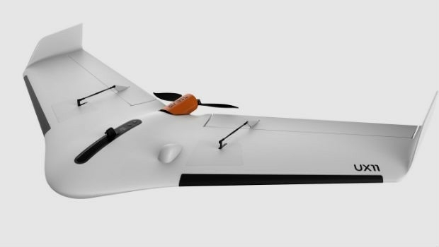
12th July 2019
high performance UX11 & UX11 Ag surveying and mapping drones11th July 2019
Save the Date ! Webinar July 18 at 6 PM CET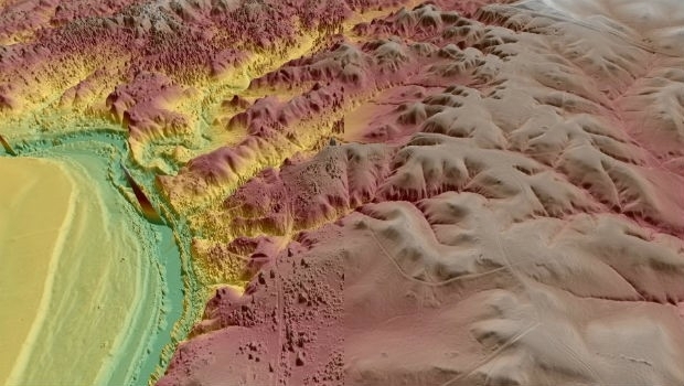
8th July 2019
Virtual Surveyor Enhances LiDAR Point Cloud Handling