
Septentrio expands in Europe by signing new partnership with Innovelec
24th May 2016
Septentrio expands in Europe by signing new partnership with InnovelecTechnologies that provide tracking and navigational functions for unmanned, autonomous and semi-autonomous vehicles on land, at sea and in the air, and use cases on their practical deployment
This topic covers the technologies that provide tracking and navigational functions for unmanned vehicles of all types, on land, at sea and in the air. These technologies include satellite-based navigation (GNSS) receivers, Inertial Navigation Systems (INS), Acoustic Positioning Systems (APS) and other sensors for situational awareness (radars, Lidars, optical and infrared cameras, ultrasonic, etc). Use cases for the deployment of these technologies in unmanned vehicles embraces land surveying, construction and urban planning, underwater exploration and asset management, archaeological and heritage studies, environmental monitoring, conservation, utility surveys, insurance risk surveys, built infrastructure surveys and inspection, defence applications, open cast mining, forestry and agriculture, traffic management, emergency services, search and rescue, humanitarian support, disease control and healthcare, merchandise delivery and weather forecasting
24th May 2016
Septentrio expands in Europe by signing new partnership with Innovelec23rd May 2016
Orbit GT to exhibit and lecture at GeoBusiness, London.

19th May 2016
Age of Drones Expo is coming: first time in Dortmund, Germany18th May 2016
Harris Geospatial Solutions to Offer Icaros OneButton™ with ENVI®

13th May 2016
Second Women in Drones Event Planned for InterDrone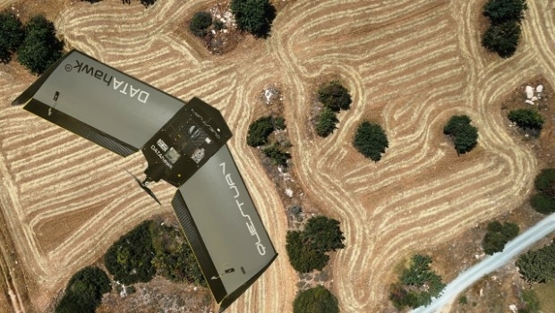
13th May 2016
QuestUAV complete reseller rollout of Q-100 DATAhawks11th May 2016
UAVAir train candidates for better standard of drone pilot graduates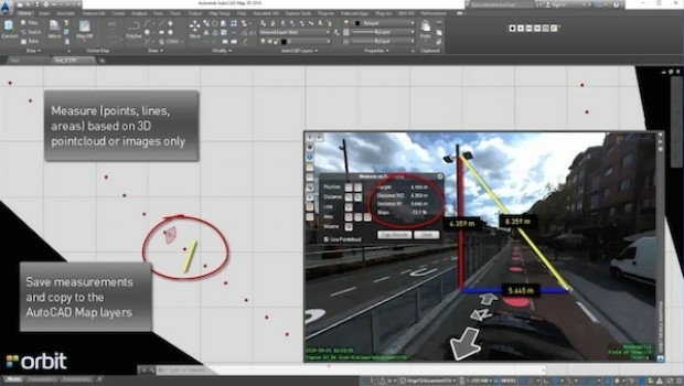
11th May 2016
Orbit GT launches AutoCAD MAP plugin for Mobile Mapping

9th May 2016
Free Drone Live-Demo at CAPIGI GeoAgri 2016

5th May 2016
Take Note of Recent Changes to Insurance Law, Urged by UAVAir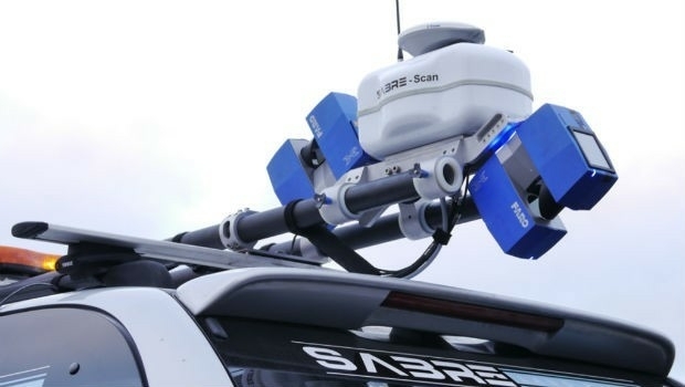
3rd May 2016
Introducing AeryonLive – the SaaS platform for UAS fleet management3rd May 2016
Diversified Communications Launches Commercial UAV News Site29th April 2016
CGG Enters into Agreement for the Sale of its Multi-Physics Business
27th April 2016
Call for Speakers for North America’s Largest Commercial Drone Show26th April 2016
Juniper Unmanned and Pulse Aerospace Announce Business Partnership26th April 2016
SimActive Achieves Breakthrough with Latest Correlator3D™ Release20th April 2016
Global maps from Europa helps to define no-fly zones for drones20th April 2016
Unlocking Unlimited Potential for Utilities
19th April 2016
Orbit GT and Topcon Positioning MEA, UAE, sign reseller agreement
15th April 2016
Topcon demonstrates Smart Working Tech at Geo Business13th April 2016
Vexcel Imaging introduces the new UltraCam Condor
11th April 2016
Orbit GT launches new UAS Mapping software at SPAR, Houston.
11th April 2016
Orbit GT shows automated Feature Extraction tools at SPAR, Houston.5th April 2016
NCTech unveils new 360 degree imaging developments for iSTAR camera
31st March 2016
Policy reflection paper on civil drones and regulations in EU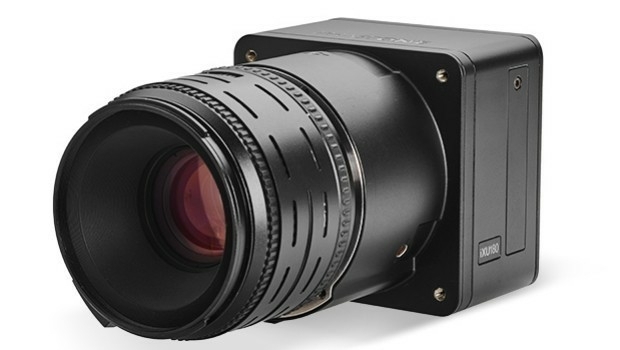
30th March 2016
Direct Georeferencing with Phase One iXU 150 Camera and POS AVX 210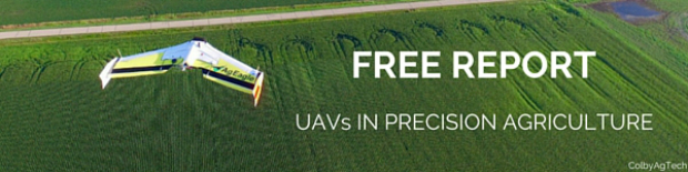
30th March 2016
Free Report: UAVs in Precision Agriculture29th March 2016
Commercial UAV Expo Issues Free Report: Surveying and Mapping with UAVs23rd March 2016
Strong Support for Commercial UAV Expo 2016
23rd March 2016
Launch Of Utility Training Academy For Unmanned Aerial Systems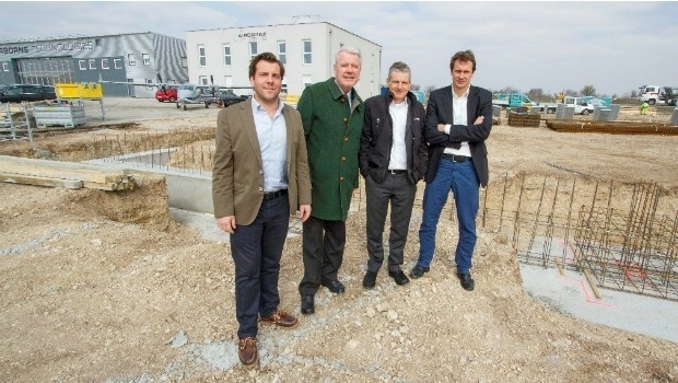
22nd March 2016
Ground-breaking ceremony at Airborne Technologies22nd March 2016
GeoFIT Americas Adopts SimActive’s Correlator3D™ for UAVs21st March 2016
Commercial UAV Expo Announces Call for Speakers
21st January 2016
INTERGEO: supporting Hamburg’s Smart City quest


7th January 2016
INTERGEO: the global hub for Geo business