Aerial Imaging: High-Resolution Geospatial Data for Mapping, Analysis, and Decision-Making
Aerial imaging is revolutionizing the way we capture, analyze, and utilize geospatial data. Using high-resolution aerial photography and remote sensing technologies, it provides accurate and detailed visual information essential for mapping, environmental monitoring, infrastructure planning, and disaster response.
Modern aerial imaging solutions include manned aircraft, UAVs (drones), and satellite-based systems equipped with advanced sensors such as LiDAR, multispectral, and hyperspectral cameras. These technologies enable high-precision mapping, 3D terrain modeling, change detection, and real-time geospatial analysis, supporting industries such as urban planning, agriculture, forestry, defense, and construction.
With cloud-based processing, AI-powered image analysis, and real-time data streaming, aerial imaging continues to advance, offering faster, more accurate, and scalable solutions for GIS professionals and decision-makers.
GeoConnexion provides the latest insights on aerial imaging trends, innovations, and applications, helping professionals leverage aerial data for better spatial intelligence and operational efficiency.

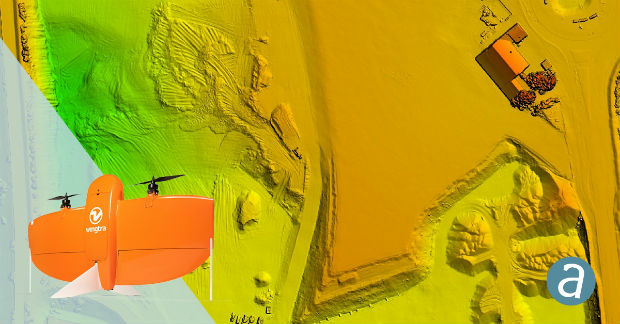
Parrot drones selected by U.S. Department of Defense
28th May 2019
Parrot drones selected by U.S. Department of Defense
Ecometrica Uses Drones to Map Vegetation in Scottish Forests
28th May 2019
Ecometrica Uses Drones to Map Vegetation in Scottish Forests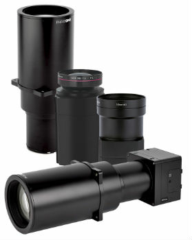
Phase One Industrial Introduces Three High Performance Lenses
28th May 2019
Phase One Industrial Introduces Three High Performance Lenses
Extensis to Cameo Digital Asset Management Solution
24th May 2019
Extensis to Cameo Digital Asset Management Solution
Topcon announces advanced Bentley integration
23rd May 2019
Topcon announces advanced Bentley integration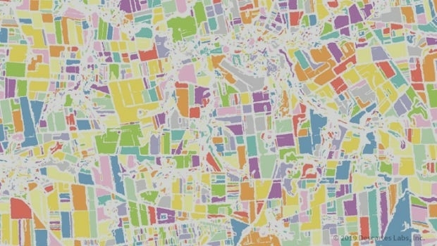
Descartes Labs to Demonstrate Global-Scale Predictive Intelligence
23rd May 2019
Descartes Labs to Demonstrate Global-Scale Predictive Intelligence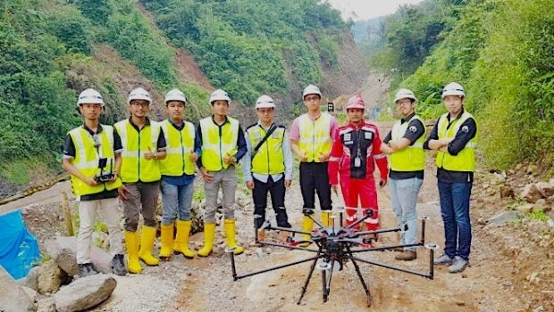
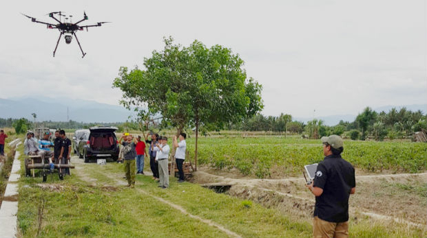
Terra Drone Indonesia shows construction companies benefits
22nd May 2019
Terra Drone Indonesia shows construction companies benefits

Bluesky and Getmapping Embrace XMAP for UK Government
20th May 2019
Bluesky and Getmapping Embrace XMAP for UK Government
Western Distribution selects Fugro to unlock value from airborne survey data
17th May 2019
Western Distribution selects Fugro to unlock value from airborne survey data
Routescene's improved approach to quantifying accuracy
16th May 2019
Routescene's improved approach to quantifying accuracy
Terra Drone India and Vignan University set up drone lab
16th May 2019
Terra Drone India and Vignan University set up drone lab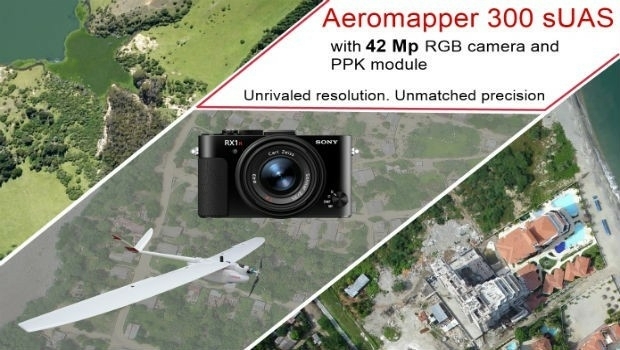
AEROMAPPER 300 & 42Mp camera with PPK bundle
15th May 2019
AEROMAPPER 300 & 42Mp camera with PPK bundle
Jesse Norman MP conveyed need for high quality data for transport
15th May 2019
Jesse Norman MP conveyed need for high quality data for transport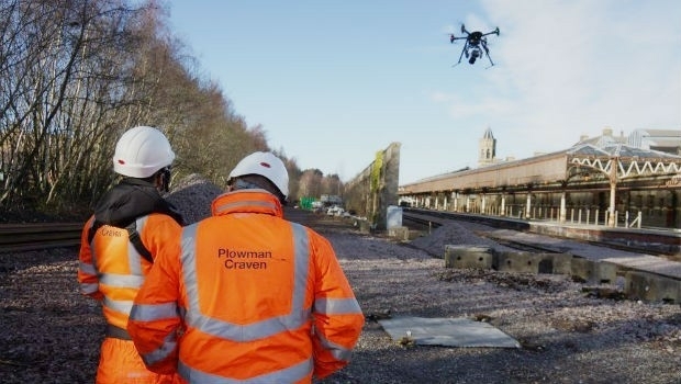
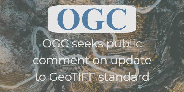
OGC seeks public comment on update to GeoTIFF standard
14th May 2019
OGC seeks public comment on update to GeoTIFF standard
SimActive Software Enables Processing of Wingtra Drone Data
14th May 2019
SimActive Software Enables Processing of Wingtra Drone Data
Bluesky and Skyline Create Dynamic 3D City Models
13th May 2019
Bluesky and Skyline Create Dynamic 3D City ModelsUnifly in top three 'hottest' European scale-ups at TNW Conference 2019
10th May 2019
Unifly in top three 'hottest' European scale-ups at TNW Conference 2019Terra Drone opens Angola branch due to high demand from oil and gas industry
10th May 2019
Terra Drone opens Angola branch due to high demand from oil and gas industry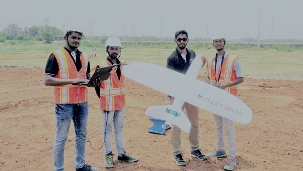
Terra Drone India surveys 4,200 sq km in Maharashtra
9th May 2019
Terra Drone India surveys 4,200 sq km in Maharashtra
Rene Worms joins Atmos UAV as Head of Global Sales
8th May 2019
Rene Worms joins Atmos UAV as Head of Global Sales
Infrastructure Inspection – UAS Are All Over It
8th May 2019
Infrastructure Inspection – UAS Are All Over It
TCarta teams up with King’s College London and wins ESA Funding
7th May 2019
TCarta teams up with King’s College London and wins ESA Funding
HERE powers new serverless location-based functions
7th May 2019
HERE powers new serverless location-based functions
Firefighting drones are the future of fire safety
7th May 2019
Firefighting drones are the future of fire safetyWood Adopts Delair UX11 UAV For Large Scale Surveying
7th May 2019
Wood Adopts Delair UX11 UAV For Large Scale SurveyingThe Future is Two-Stroke: Hirth Engines Look to the Future of Hybrid UAVs
3rd May 2019
The Future is Two-Stroke: Hirth Engines Look to the Future of Hybrid UAVs
ISG Transforms BIM Delivery Using Pointfuse Laser Scanning Software
1st May 2019
ISG Transforms BIM Delivery Using Pointfuse Laser Scanning Software

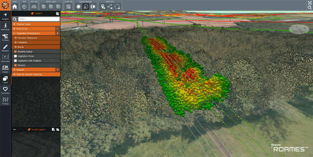
Bluesky Tree Map Aids Natural Flood Management Project
1st May 2019
Bluesky Tree Map Aids Natural Flood Management Project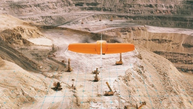
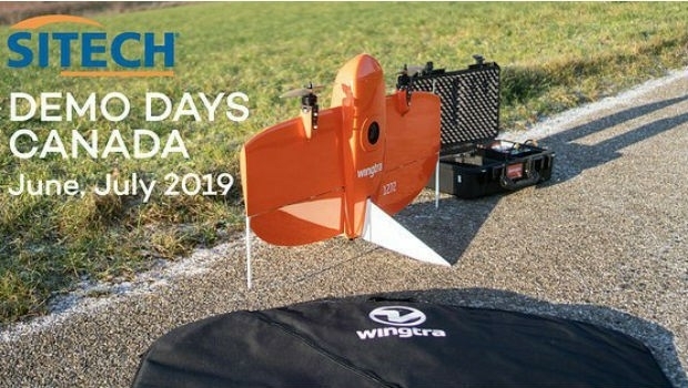
Wingtra partners with 3DR to offer a complete aerial surveying solution
30th April 2019
Wingtra partners with 3DR to offer a complete aerial surveying solution
What’s behind the ground-breaking 3D habitat map of the Great Barrier Reef?
30th April 2019
What’s behind the ground-breaking 3D habitat map of the Great Barrier Reef?
Yotta Incorporates Blueprints In Latest Alloy Release
29th April 2019
Yotta Incorporates Blueprints In Latest Alloy Release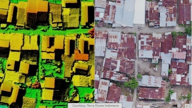
Terra Drone Indonesia Performed Baseline Modeling
26th April 2019
Terra Drone Indonesia Performed Baseline Modeling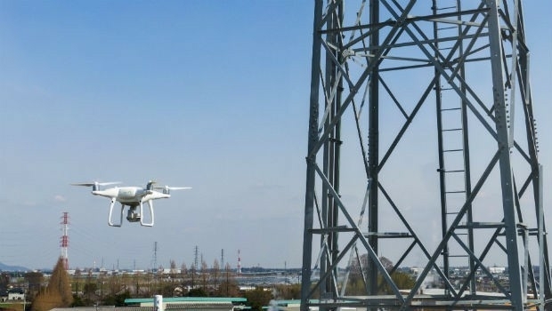
Terra Drone and KDDI launch drone infrastructure inspection services
25th April 2019
Terra Drone and KDDI launch drone infrastructure inspection services

Brazil’s Civil Aviation Authority Approves senseFly Drones
24th April 2019
Brazil’s Civil Aviation Authority Approves senseFly Drones
Advanced mapping and object tracking technology to be featured at AUVSI 2019
24th April 2019
Advanced mapping and object tracking technology to be featured at AUVSI 2019
“New technology vital to the future protection of our forests”
17th April 2019
“New technology vital to the future protection of our forests”
Start-ups to receive funding, business support and more
16th April 2019
Start-ups to receive funding, business support and more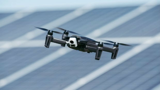
Parrot launches ANAFI Thermal drone worldwide
15th April 2019
Parrot launches ANAFI Thermal drone worldwide