Supporting carbon-neutral plans in Ireland
19th July 2022
Supporting carbon-neutral plans in IrelandAerial imaging is revolutionizing the way we capture, analyze, and utilize geospatial data. Using high-resolution aerial photography and remote sensing technologies, it provides accurate and detailed visual information essential for mapping, environmental monitoring, infrastructure planning, and disaster response.
Modern aerial imaging solutions include manned aircraft, UAVs (drones), and satellite-based systems equipped with advanced sensors such as LiDAR, multispectral, and hyperspectral cameras. These technologies enable high-precision mapping, 3D terrain modeling, change detection, and real-time geospatial analysis, supporting industries such as urban planning, agriculture, forestry, defense, and construction.
With cloud-based processing, AI-powered image analysis, and real-time data streaming, aerial imaging continues to advance, offering faster, more accurate, and scalable solutions for GIS professionals and decision-makers.
GeoConnexion provides the latest insights on aerial imaging trends, innovations, and applications, helping professionals leverage aerial data for better spatial intelligence and operational efficiency.
19th July 2022
Supporting carbon-neutral plans in Ireland

13th June 2022
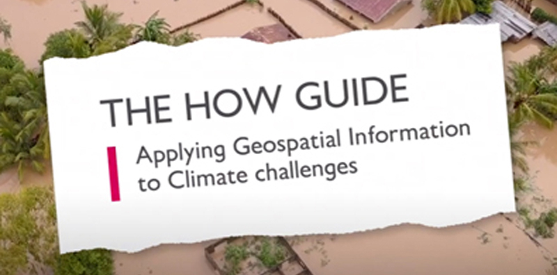
New ‘How’ guide demonstrates how geospatial can be applied to climate challenges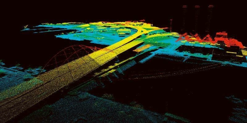
25th May 2022
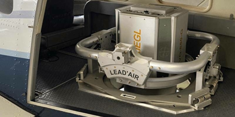
Unique Integration of UltraCam Eagle and LiDAR Scanner by 95West
19th May 2022
Dual aerial sensors yield impressive results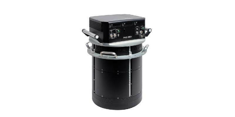
19th May 2022
Phase One Announces Next-Generation Aerial Solutions Enhanced with Near Infrared Capabilities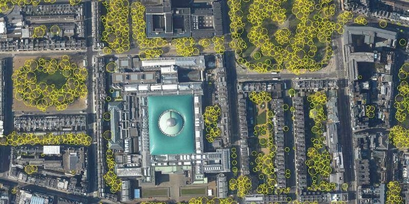
16th May 2022
Bluesky’s National Tree Map Helps Improve Biodiversity in London
13th May 2022
Kavel 10 Aerial Mapping pioneers from the Netherlands chose Phase One PAS 880 system to improve productivity
12th May 2022
Interface between Vexcel's Adaptive Motion Compensation (AMC) and IGI’s AEROcontrol GNSS/IMU systems introduced28th April 2022
Medium Format Cameras Used with SimActive Software to Minimize Mapping Costs
28th April 2022
Bluesky International Excited for 2022 Flying Season
22nd April 2022
Teledyne FLIR helps to keep airspace surrounding Swedish critical infrastructure free of drones

12th April 2022
Phase One unveils wide-area, 120MP aerial camera with global shutter sensor technology
12th April 2022
EAASI summit highlights role of aerial survey in technological response to global challenges
12th April 2022
UltraCam Eagle delivers efficiency and quality for Arrowhawk Imaging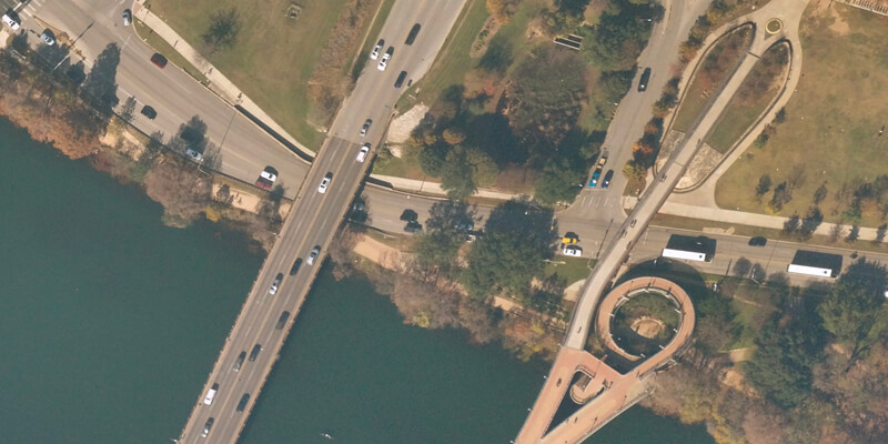
12th April 2022
UP42 partners with near space labs to offer very high-resolution imagery using zero-emission balloons12th April 2022
Teledyne FLIR introduces Neutrino SX12 ISR1200 MWIR camera with zoom lens for Ground ISR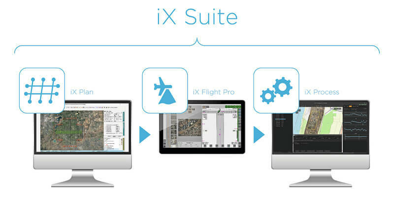
12th April 2022
Phase One announces iX suite for seamless aerial mapping workflow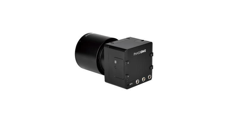
12th April 2022
Phase One to Showcase iXM-GS120 Wide-Area Aerial Camera at GEOINT 2022 in Colorado
11th April 2022
UP42 Partners with Nearmap to Offer High-Resolution Aerial Imagery of U.S., Canada, Australia, and New Zealand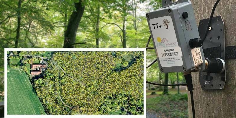
5th April 2022
Tree Pest and Disease Monitoring System Uses Bluesky’s UK Tree Map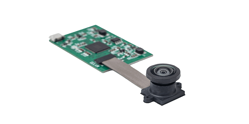
31st March 2022
Immervision launches low-light UAV navigation camera module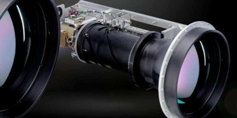
21st March 2022
Teledyne FLIR Introduces Neutrino SX12 ISR1200 MWIR Camera with Zoom Lens for Ground ISR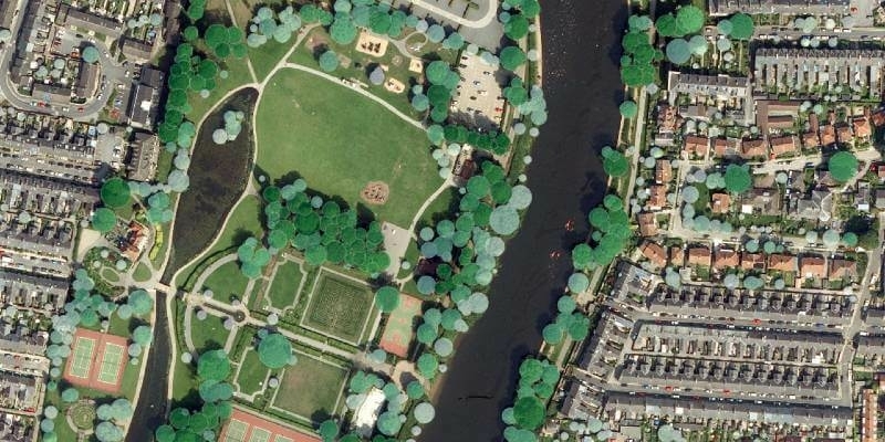
9th March 2022
Tree carbon capture figures are more accurate thanks to Bluesky’s National Tree Map
25th February 2022
UltraCam Eagle Delivers Efficiency and Quality for Arrowhawk Imaging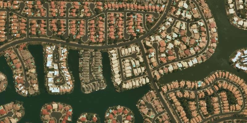
24th February 2022
UP42 Partners with Near Space Labs to Offer Very High-Resolution Imagery using Zero-Emission Balloons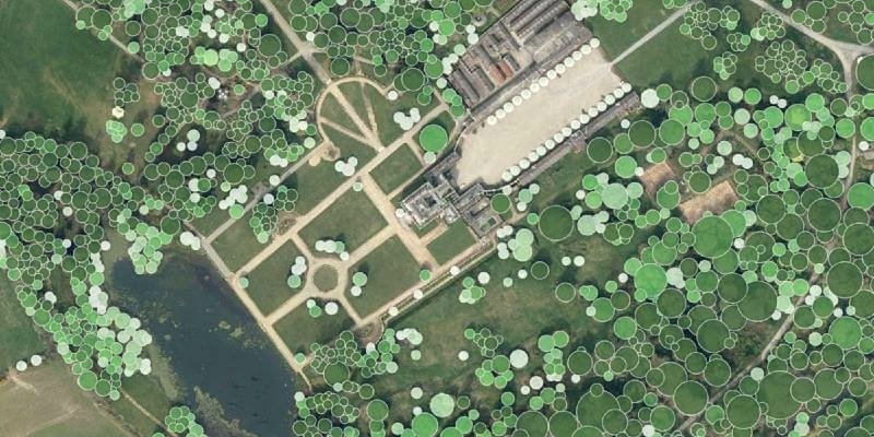
10th February 2022
Waterford City and County Council Use Bluesky National Tree Map Data to Support Carbon Neutral Plans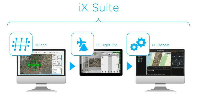
4th February 2022
Phase One Announces iX Suite for Seamless Aerial Mapping Workflow from Flight Planning to Image Delivery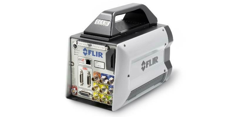
28th January 2022
Teledyne FLIR Introduces X858x and X698x Families of High-Speed, High-Resolution Thermal Science Cameras
18th January 2022
Phase One Unveils Wide-Area, 120MP Aerial Camera with Global Shutter Sensor Technology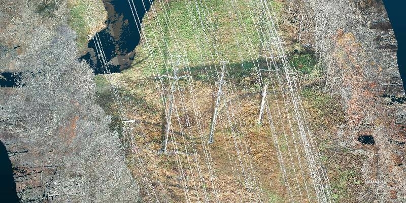
22nd December 2021
Exelon Clearsight Acquires GeoCue’s True View 615 LIDAR/Imagery Mapping Sensor
24th November 2021
RIEGL USA Signs New OEM Partner Agreement
17th November 2021
Bluesky National Tree Map Data Included in First Online Natural Capital Calculator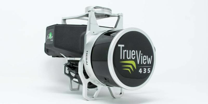
12th November 2021
GeoCue Expands True View 3DIS Line with True View 435
10th November 2021
Our P3 Payload exceeds Gresco's expectations for cellphone tower inspection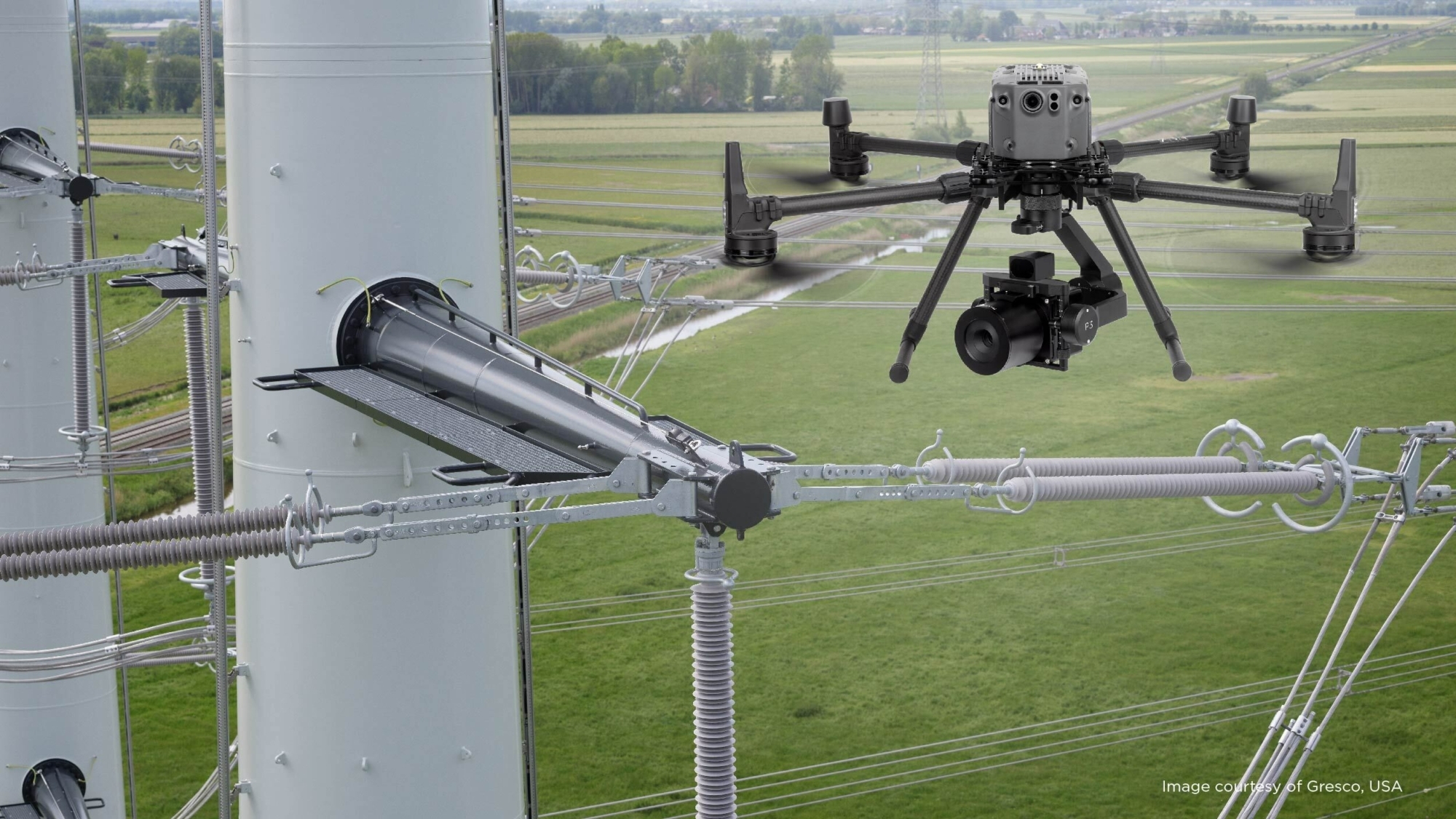
5th November 2021
Phase One - P3 Payload Power Line Inspection Test Flight
5th November 2021
Phase One - P3 Payload Bridge Inspection Test Flight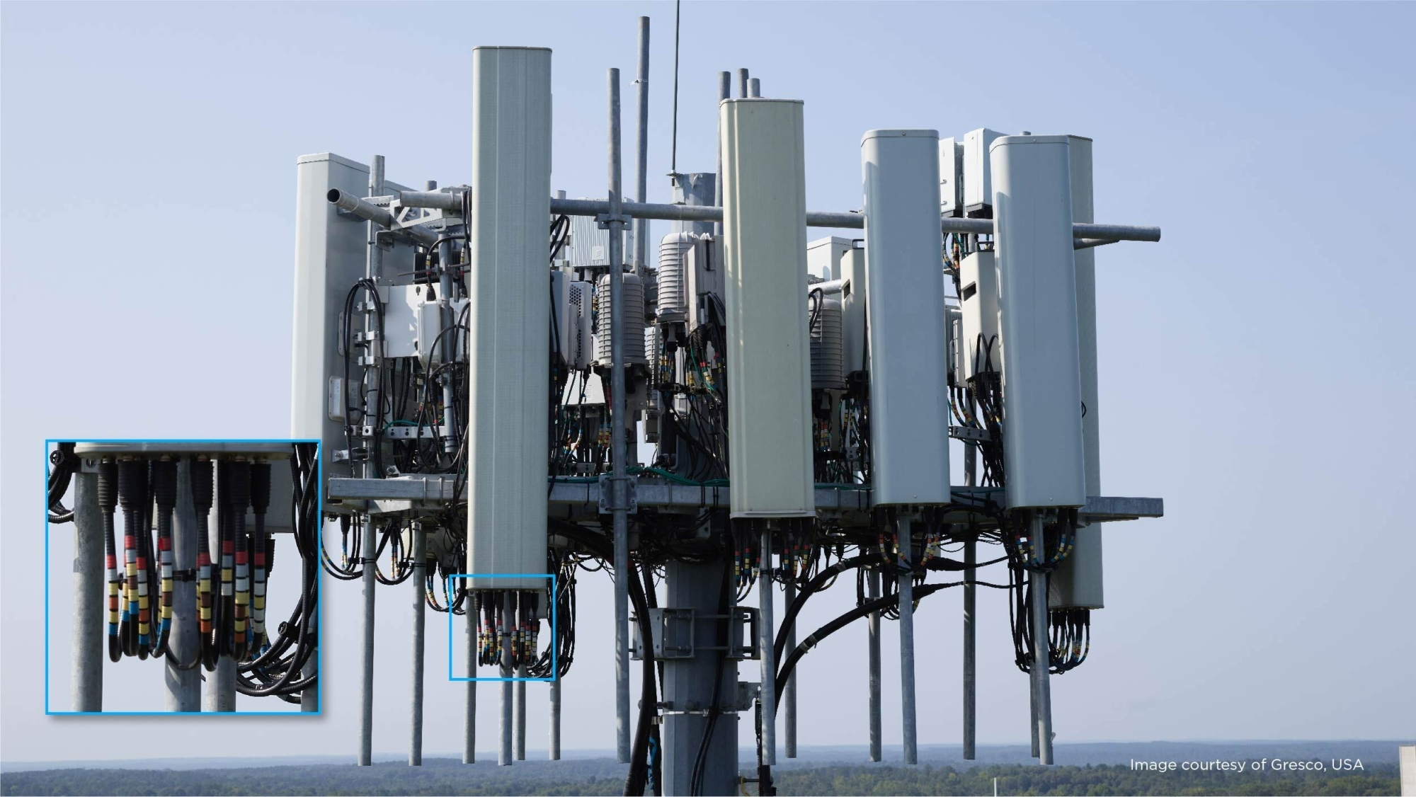
5th November 2021
Phase One - P3 Payload Cellphone Tower Inspection Flight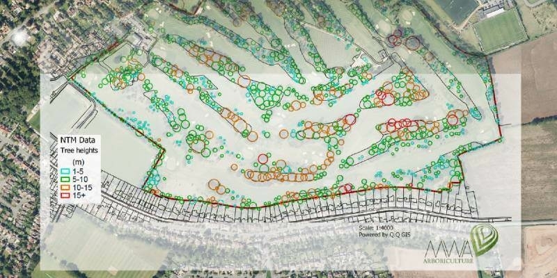
29th September 2021
MWA Arboriculture uses Bluesky National Tree Map for Tree Condition Surveys
7th September 2021
Bluesky National Tree Map at the Root of Birmingham’s Urban Forest Master Plan
2nd September 2021
EAASI Elects Executive Committee to Promote Aerial Surveying in Europe
25th August 2021
Bluesky Cyclomedia Partnership Combines Aerial and Mobile Mapped Data for Virtual City Models