Aerial Imaging: High-Resolution Geospatial Data for Mapping, Analysis, and Decision-Making
Aerial imaging is revolutionizing the way we capture, analyze, and utilize geospatial data. Using high-resolution aerial photography and remote sensing technologies, it provides accurate and detailed visual information essential for mapping, environmental monitoring, infrastructure planning, and disaster response.
Modern aerial imaging solutions include manned aircraft, UAVs (drones), and satellite-based systems equipped with advanced sensors such as LiDAR, multispectral, and hyperspectral cameras. These technologies enable high-precision mapping, 3D terrain modeling, change detection, and real-time geospatial analysis, supporting industries such as urban planning, agriculture, forestry, defense, and construction.
With cloud-based processing, AI-powered image analysis, and real-time data streaming, aerial imaging continues to advance, offering faster, more accurate, and scalable solutions for GIS professionals and decision-makers.
GeoConnexion provides the latest insights on aerial imaging trends, innovations, and applications, helping professionals leverage aerial data for better spatial intelligence and operational efficiency.

INTERGEO 2015 Review - Going global. Going great!
28th October 2015
INTERGEO 2015 Review - Going global. Going great!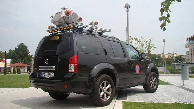


WorldView-3: setting new standards in Earth Observation
14th April 2015
WorldView-3: setting new standards in Earth Observation


WorldView-3: setting new standards in Earth Observation
23rd February 2015
WorldView-3: setting new standards in Earth ObservationSatellites guide sailor from treacherous waters
2nd January 2015
Satellites guide sailor from treacherous waters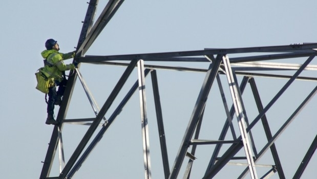
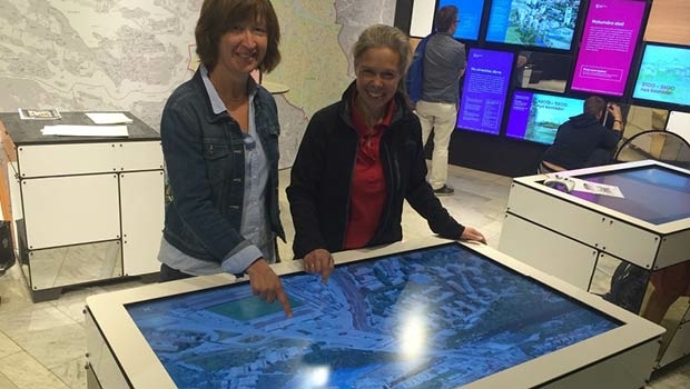
Moving to Enterprise Mobility at ScottishPower
25th October 2014
Moving to Enterprise Mobility at ScottishPowerTanDEM-X satellite mission begins science phase
23rd October 2014
TanDEM-X satellite mission begins science phase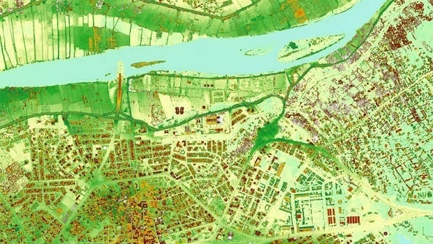
Cutting costs in aerial surveying by combining LiDAR and hyperspectral imaging
10th October 2014
Cutting costs in aerial surveying by combining LiDAR and hyperspectral imagingSentinel-1A adds yet another string to its bow
2nd September 2014
Sentinel-1A adds yet another string to its bow
Airborne mapping of urban air quality: a bird’s eye view of pollution
25th June 2014
Airborne mapping of urban air quality: a bird’s eye view of pollution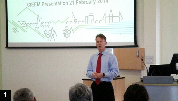
GIS and Remote Sensing for habitat mapping
25th June 2014
GIS and Remote Sensing for habitat mapping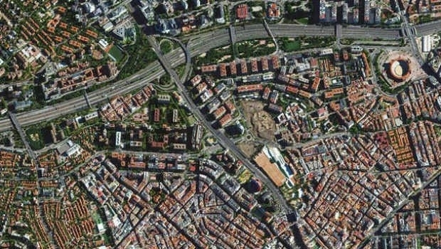
Trends in the Optical Commercial Remote Sensing Industry - Part 2
11th June 2014
Trends in the Optical Commercial Remote Sensing Industry - Part 2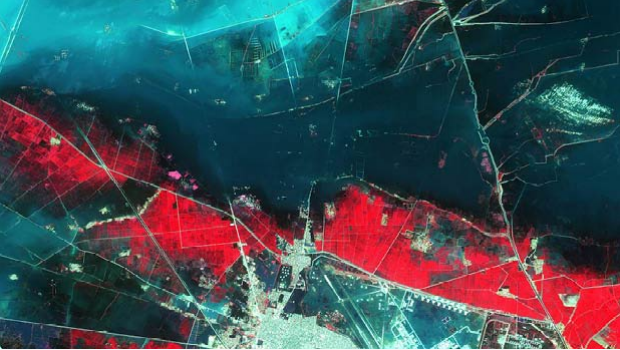
Trends in the Optical Commercial Remote Sensing Industry - Part 1
11th June 2014
Trends in the Optical Commercial Remote Sensing Industry - Part 1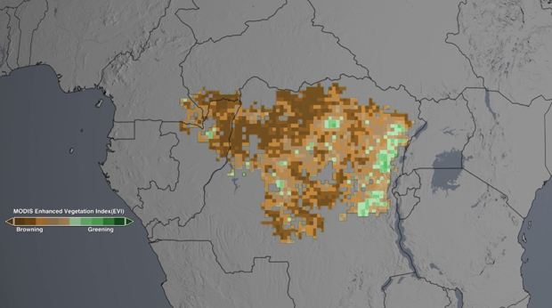
NASA satellites show drought may take toll on Congo rainforest
28th April 2014
NASA satellites show drought may take toll on Congo rainforest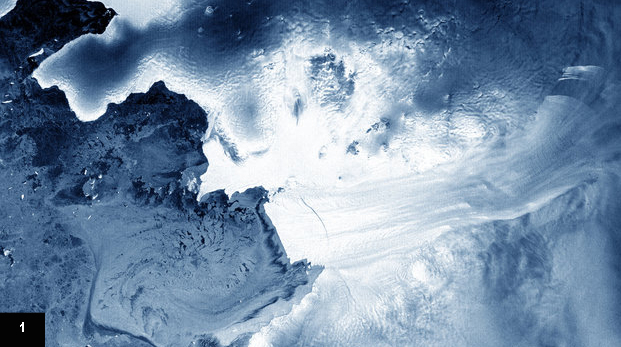
New infrared technique aims to remotely detect dangerous materials
24th March 2014
New infrared technique aims to remotely detect dangerous materialsTaking control of your … field operations
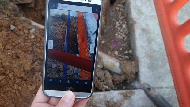
19th November 2013
Taking control of your … field operationsTime is ripe for fire detection satellite, say Berkeley scientists
23rd October 2013
Time is ripe for fire detection satellite, say Berkeley scientists
New initiative to support $40 billion smart cities in the UK
11th October 2013
New initiative to support $40 billion smart cities in the UK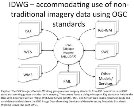
The Path to Standards for Oblique Imagery
8th October 2013
The Path to Standards for Oblique Imagery