
MacDonald Dettwiler Buying DigitalGlobe for $2.4 Billion
26th February 2017
MacDonald Dettwiler Buying DigitalGlobe for $2.4 BillionAerial imaging is revolutionizing the way we capture, analyze, and utilize geospatial data. Using high-resolution aerial photography and remote sensing technologies, it provides accurate and detailed visual information essential for mapping, environmental monitoring, infrastructure planning, and disaster response.
Modern aerial imaging solutions include manned aircraft, UAVs (drones), and satellite-based systems equipped with advanced sensors such as LiDAR, multispectral, and hyperspectral cameras. These technologies enable high-precision mapping, 3D terrain modeling, change detection, and real-time geospatial analysis, supporting industries such as urban planning, agriculture, forestry, defense, and construction.
With cloud-based processing, AI-powered image analysis, and real-time data streaming, aerial imaging continues to advance, offering faster, more accurate, and scalable solutions for GIS professionals and decision-makers.
GeoConnexion provides the latest insights on aerial imaging trends, innovations, and applications, helping professionals leverage aerial data for better spatial intelligence and operational efficiency.
26th February 2017
MacDonald Dettwiler Buying DigitalGlobe for $2.4 Billion
24th February 2017
Why desktop is essential for drone mapping in agriculture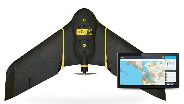
23rd February 2017
AirMap and senseFly Partner to Advance Safety for Commercial Drones
23rd February 2017
New Enterprise Tracks Headline InterDrone 2017 Call For Speakers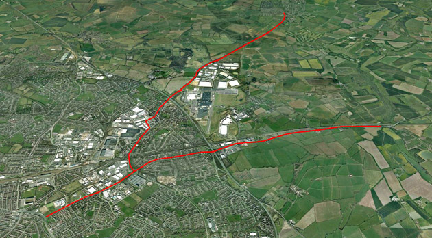
22nd February 2017
CartoConsult Brings GIS Innovation to Government Programme to Tackle Traffic Congestion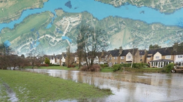
21st February 2017
Bluesky Announces New Online Flood Risk Map of the UK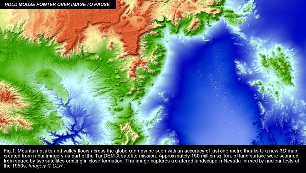

18th February 2017
EdgeData and Harris Corporation Collaboration16th February 2017
Int’l Lidar Mapping Forum & ASPRS Conference to Take Place Together16th February 2017
Advanced Groundwater Technologies Joins PCI Reseller Partner Network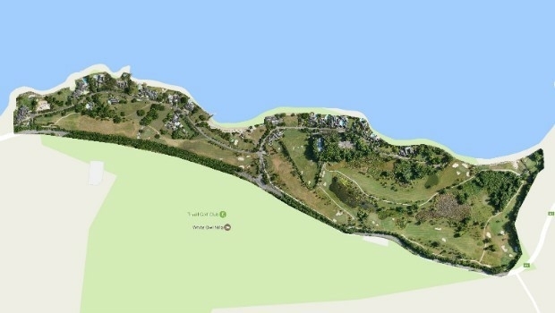
15th February 2017
Three reasons golf courses are the next drone mapping territory
14th February 2017
3D Repo Appoints Andrew Norrie as Commercial Director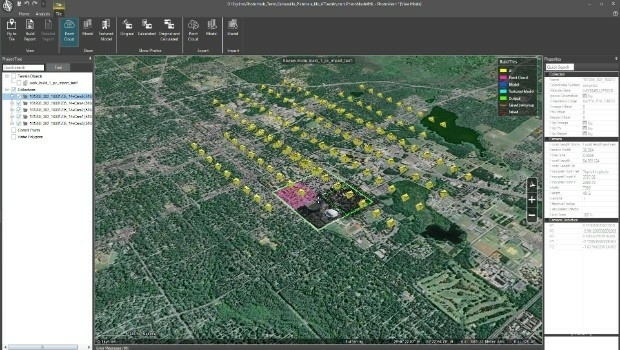
10th February 2017
Skyline Software Systems Releases PhotoMesh 7.1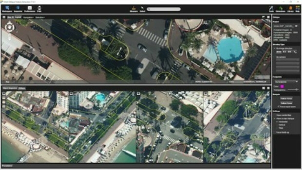
10th February 2017
Orbit GT releases Oblique Mapping and Feature Extraction v179th February 2017
Aeryon and DroneDeploy Partner to Deliver Enterprise UAS Solutions9th February 2017
Yotta unveils revolutionary connected asset management platform, Alloy9th February 2017
Bluesky Wins Innovation Funding for Mobile Phone Mapping Project
8th February 2017
Commercial UAV Expo Europe Announces Early Backers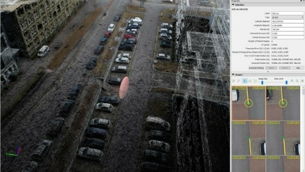
8th February 2017
Achieving best accuracy with error ellipsoid in Pix4Dmapper rayCloud8th February 2017
CSA Presents Advanced Coastal Aerial Image Analysis Techniques
8th February 2017
PCI Joins the Geological Remote Sensing Group
7th February 2017
3D Repo Develop Virtual Reality App for Motorway Construction Workers
7th February 2017
Maxoptra Routing Software Keeps Scot JCB Engineers on Track
6th February 2017
Bluesky Appoints Strategic Development Manager
6th February 2017
GAF AG and Partners to Investigate the Future Evolution of Copernicus
2nd February 2017
Rwanda forges forward in drone mapping use
1st February 2017
The 2nd generation Meteosat-8 satellite takes over Meteosat-7
31st January 2017
Ordnance Survey International helps the UAE manage Climate Change
31st January 2017
A Case Study on Long-Term Erosion Mapping in Northeast England31st January 2017
Bluesky Aerial Photomaps Help Keep Runners on Track27th January 2017
Virtual World Asset Management delivered to the Power Industry
27th January 2017
Terra Drone establish new branch in Australia, Brisbane.
25th January 2017
Abstract Submissions Invited for GIS-Pro 2017 in Jacksonville, Florida
24th January 2017
Airport GIS | LiDAR, imagery and feature extraction for airport operations.jpg)
24th January 2017
Bluesky Announces 2017 Flying Plans for Ireland
24th January 2017
3D Repo BIM App Helps Crossrail Digitally Manage Assets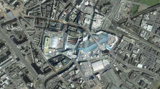
19th January 2017
Bluesky and Bird.i Join Forces to Widen Access to Aerial Imagery.jpg)
11th January 2017
Conversion Drone Training for EuroUSC Students on BNUC-S Course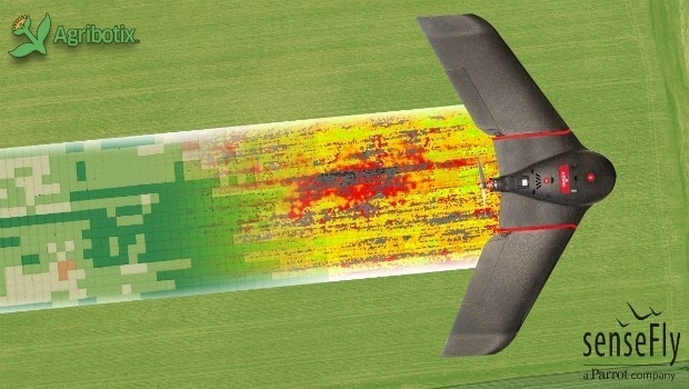
11th January 2017
Collaboration with Deimos Imaging to Support the PanGeo Alliance
10th January 2017
EarthSense Systems Gains from UK Space Agency Support6th January 2017
Sky’s the limit for DJI and HERE’s global drone mapping partnership4th January 2017
Significant Savings on Track’Air MIDAS Systems for 2017
20th December 2016
2017 is set to be a vital year for the drone industry.