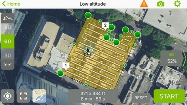
More efficient construction management with Pix4Dbim
28th April 2017
More efficient construction management with Pix4DbimAerial imaging is revolutionizing the way we capture, analyze, and utilize geospatial data. Using high-resolution aerial photography and remote sensing technologies, it provides accurate and detailed visual information essential for mapping, environmental monitoring, infrastructure planning, and disaster response.
Modern aerial imaging solutions include manned aircraft, UAVs (drones), and satellite-based systems equipped with advanced sensors such as LiDAR, multispectral, and hyperspectral cameras. These technologies enable high-precision mapping, 3D terrain modeling, change detection, and real-time geospatial analysis, supporting industries such as urban planning, agriculture, forestry, defense, and construction.
With cloud-based processing, AI-powered image analysis, and real-time data streaming, aerial imaging continues to advance, offering faster, more accurate, and scalable solutions for GIS professionals and decision-makers.
GeoConnexion provides the latest insights on aerial imaging trends, innovations, and applications, helping professionals leverage aerial data for better spatial intelligence and operational efficiency.
28th April 2017
More efficient construction management with Pix4Dbim27th April 2017
GAF and partners awarded contract to map European riparian zones
27th April 2017
Speaker Line-up Announced for Third British Information Modelling Event
19th April 2017
Space Flight Laboratory (SFL) at IAA Berlin
19th April 2017
GeoPlace annual conference – “Why I hate addresses” and all that
18th April 2017
Distribution of WorldView-4 satellite imagery in Europe begins
18th April 2017
3D Repo Cloud Platform adds Integrated Virtual Reality
13th April 2017
EarthSense Show Trees are Most Cost Effective Way of Tackling Urban Air Pollution
12th April 2017
Ecometrica lands on FT1000 list of Europe's fastest growing companies
12th April 2017
KPF Joined by HOK, OS and Unit9 for Third British Information Modelling Event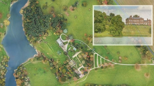
11th April 2017
National Trust Deploys Laser Survey Aircraft from Bluesky to Map in 3D7th April 2017
Arithmetica Reveals New Pointfuse Point Cloud 3D Modelling Software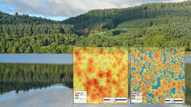
6th April 2017
Bluesky LiDAR Maps Used to Monitor the Spread of Deadly Tree Disease2nd April 2017
Blue Marble Adds Flat Earth Support to Geographic Calculator
2nd April 2017
Earth-i Ready to Develop the Australian Earth Observation Marketplace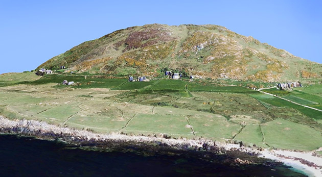
29th March 2017
Bluesky 3D maps help protect coastal heritage sites in new EU Project27th March 2017
PrecisionPoint Hires sUAS Pilot to Enhance 3D Reality Capture Services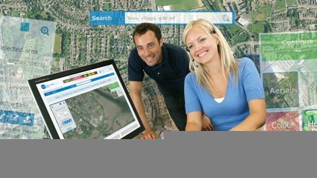
27th March 2017
Bluesky Launches New Online Resource for Geographic Information of Ireland24th March 2017
OceanWise to host Marine Data Management & GIS Workshop in Edinburgh23rd March 2017
TCarta Marine, DHI and DigitalGlobe to Unveil Bathymetric Data Portal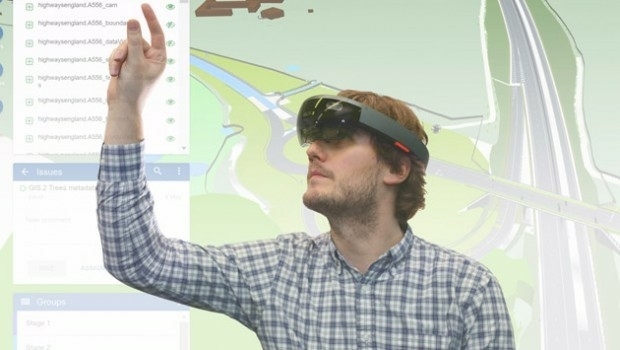
22nd March 2017
3D Repo Brings Cloud Expertise to Government Funded Smart Infrastructure Project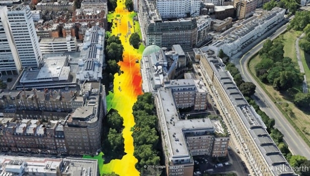
22nd March 2017
EarthSense Systems Computer Models Impact of Trees on Urban Air Pollution
21st March 2017
Terrabotics Joins the Geological Remote Sensing Group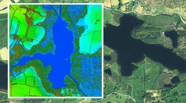
20th March 2017
Bluesky to 3D Laser Map Environmental Features in Ireland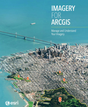
18th March 2017
Image Platform Bundles for Analysis, Management, and Analytics
16th March 2017
Why desktop is essential for drone mapping in agriculture
15th March 2017
Bluesky Acquires US Aerial Survey Company Col-East15th March 2017
First high-power all-electric EUTESAT 172B satellite shipped to Kourou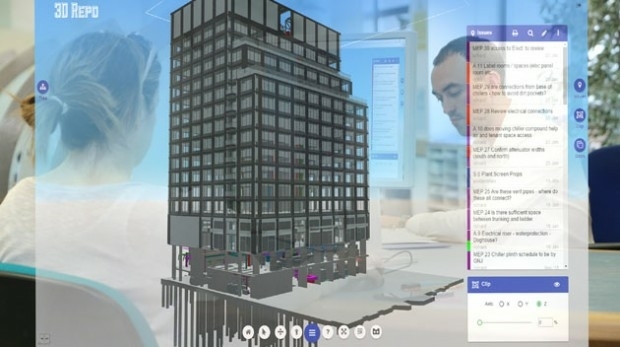
15th March 2017
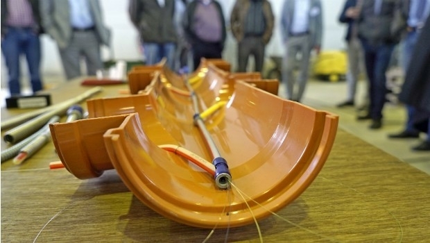
Cables and sewers: cross-sector line management with BaSYS
15th March 2017
Drones Save Almost One Life Per Week on Average
10th March 2017
Reality Modeling for Utility Infrastructure
10th March 2017
Esri President Jack Dangermond to Talk at ASPRS IGTF 2017
8th March 2017
Thales joins forces with Unifly to facilitate drone use
8th March 2017
Centrik Moves Into South Africa With Premier Aviation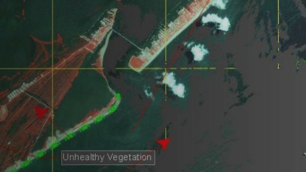
8th March 2017
Disaster Response for the Gulf Oil Spill Webinar3rd March 2017
Airbus boosts its capacity in the agricultural sector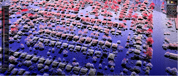
3rd March 2017
New Bathy DataBASE™, HIPS and SIPS™ released by Teledyne CARIS
1st March 2017
3D Repo wins European funding for cyber security system research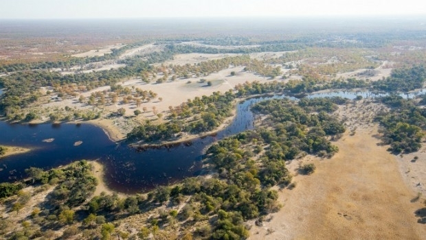
28th February 2017
Botswana Geoscience Portal serves up 2000 downloads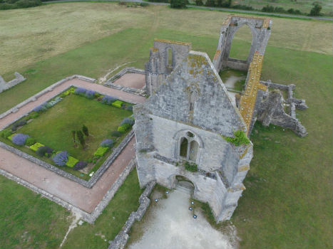
28th February 2017
Leveraging 3D modeling and printing skills as a service27th February 2017
Airbus Partners with Bird.i for Access to Earth Observation Imagery