
China monitors mountain glacier health with remote sensing
4th June 2023
China monitors mountain glacier health with remote sensingAerial imaging is revolutionizing the way we capture, analyze, and utilize geospatial data. Using high-resolution aerial photography and remote sensing technologies, it provides accurate and detailed visual information essential for mapping, environmental monitoring, infrastructure planning, and disaster response.
Modern aerial imaging solutions include manned aircraft, UAVs (drones), and satellite-based systems equipped with advanced sensors such as LiDAR, multispectral, and hyperspectral cameras. These technologies enable high-precision mapping, 3D terrain modeling, change detection, and real-time geospatial analysis, supporting industries such as urban planning, agriculture, forestry, defense, and construction.
With cloud-based processing, AI-powered image analysis, and real-time data streaming, aerial imaging continues to advance, offering faster, more accurate, and scalable solutions for GIS professionals and decision-makers.
GeoConnexion provides the latest insights on aerial imaging trends, innovations, and applications, helping professionals leverage aerial data for better spatial intelligence and operational efficiency.
4th June 2023
China monitors mountain glacier health with remote sensing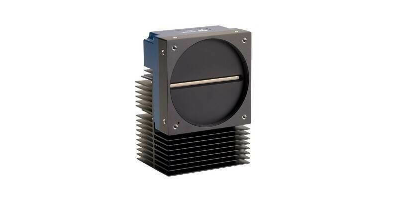
30th May 2023
Teledyne’s backside illuminated TDI camera delivers greater sensitivity for near ultraviolet and visible imaging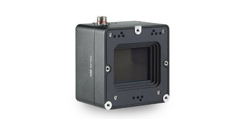
23rd May 2023
Phase One Announces iXM-SP150 at GEOINT - An Advanced 150 Megapixels Snapshot Matrix Camera for Earth Observation and Space Domain Awareness Applications
12th May 2023
EAASI leads discussions on the use of aerial surveying data at GWF 2023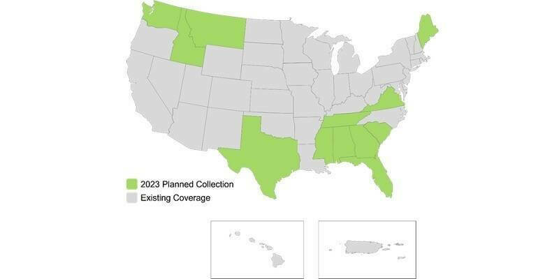
11th May 2023
Hexagon to update high-resolution geospatial data of twelve US states
10th May 2023
Teledyne FLIR Boson+ Thermal Camera Now Available with Factory-Integrated Continuous Zoom Lens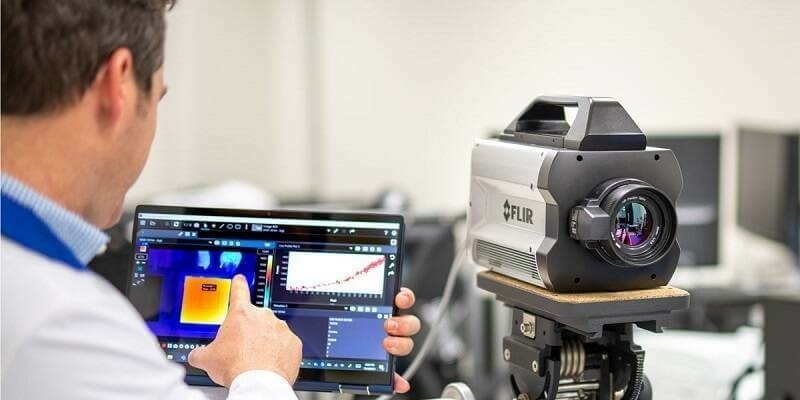
2nd May 2023
Teledyne FLIR Announces Version 3.0 Release of Research Studio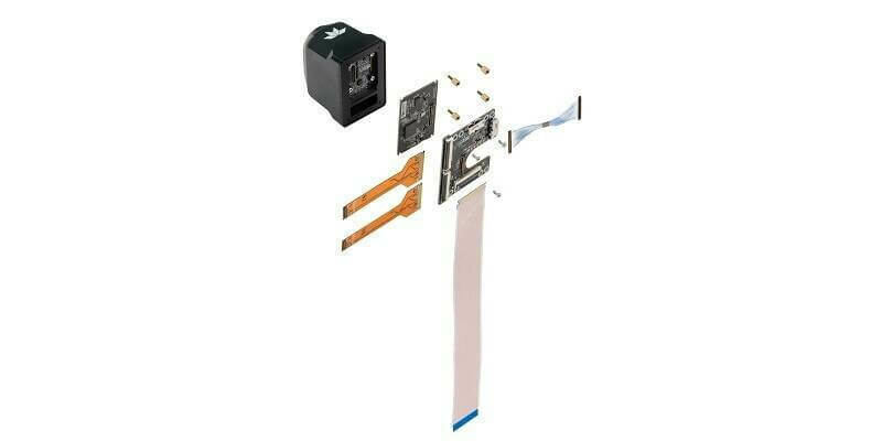
20th April 2023
Teledyne FLIR Adds Development Kits for Hadron 640R Dual Camera Module Integration for Qualcomm and NVIDIA Embedded Systems
14th April 2023
Bluesky Partners with UP42 to Widen Access to Aerial Imagery and Geospatial Data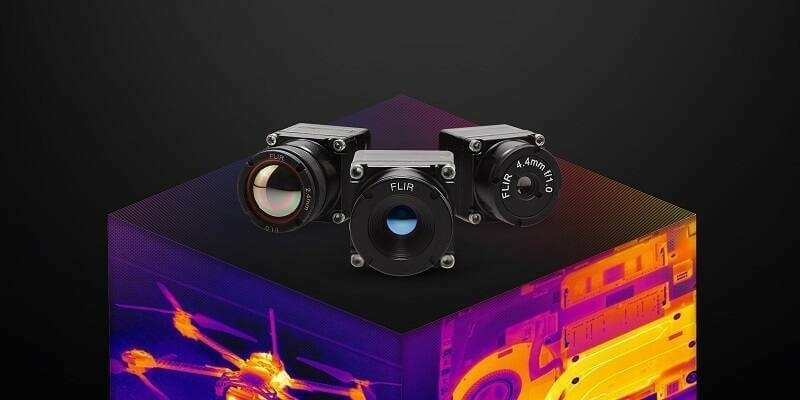
4th April 2023
Teledyne FLIR Adds New Boson+ Thermal Resolution Options, Radiometry, and MIPI Interface Simplifying Embedded System Integration
24th March 2023
Bluesky partners with SkyFi widens global access to aerial imagery
13th March 2023
Bluesky Aerial Imagery Reveals Tree Cover on the London Marathon Route
1st March 2023
Bluesky Geospatial Launches Metrovista 3D Aerial Mapping Program in U.S.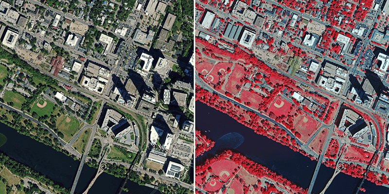
1st March 2023
Hexagon to Update Aerial Data of Eight U.S. States at Six-Inch Resolution in 2023 for the Hxgn Content Program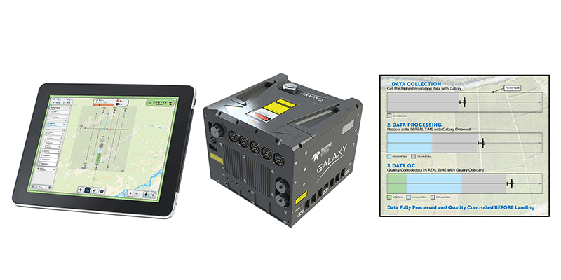
1st March 2023
Teledyne Geospatial revolutionizes airborne lidar ROI with Galaxy Onboard: a real-time workflow solution
1st March 2023
Aero-Graphics Purchases Two 4th Generation Ultracam Eagle 4.1 Aerial Cameras
15th February 2023
Aero-Graphics Purchases Two 4th Generation UltraCam Eagle 4.1 Aerial Cameras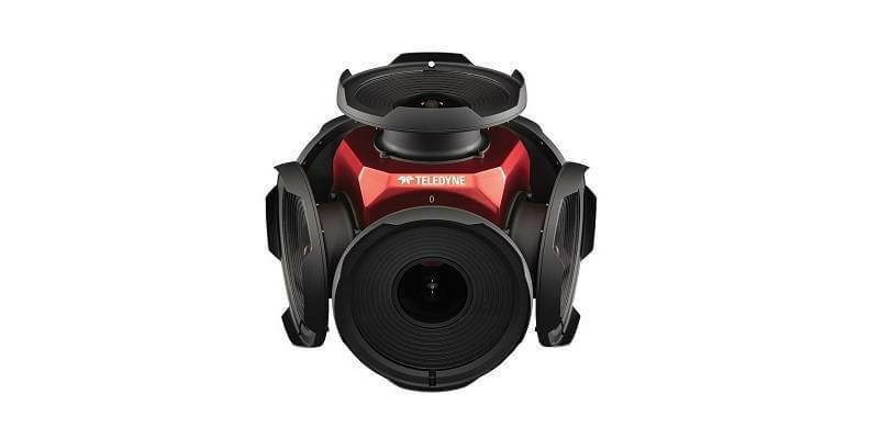
15th February 2023
Teledyne’s new Ladybug6 camera for high accuracy 360° spherical image capture is shipping now
14th February 2023
Bluesky Geospatial Launches MetroVista 3D Aerial Mapping Program in U.S.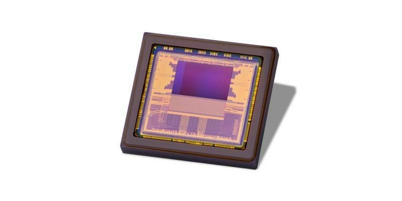
17th January 2023
Teledyne e2v releases Hydra3D+, the first high resolution ToF sensor to work in all light conditions without motion artefacts
11th January 2023
Bluesky National Tree Map Helps Dudley Council Keep Black Country Green
20th December 2022
EAASI Summit brings together the aerial surveying industry in Europe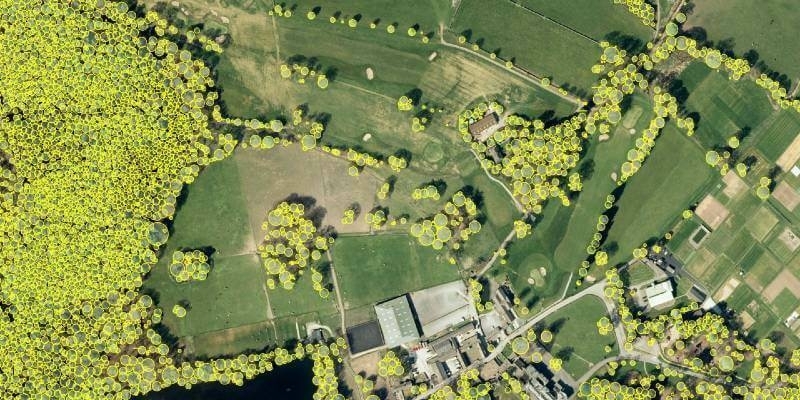
15th December 2022
Bluesky National Tree Map Helps Bradford Manage Tree Disease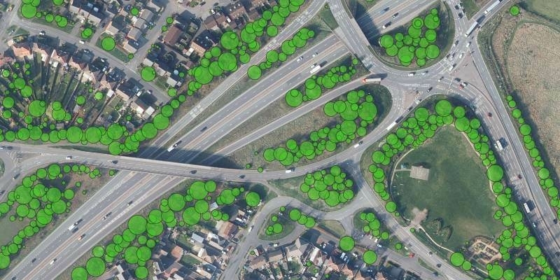
30th November 2022
Bluesky Tree Map Protects Leicestershire Highways from Falling Trees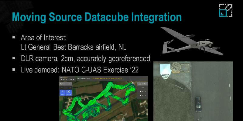
23rd November 2022
NATO C-UAS: Live drone image capture, analysis, and fusion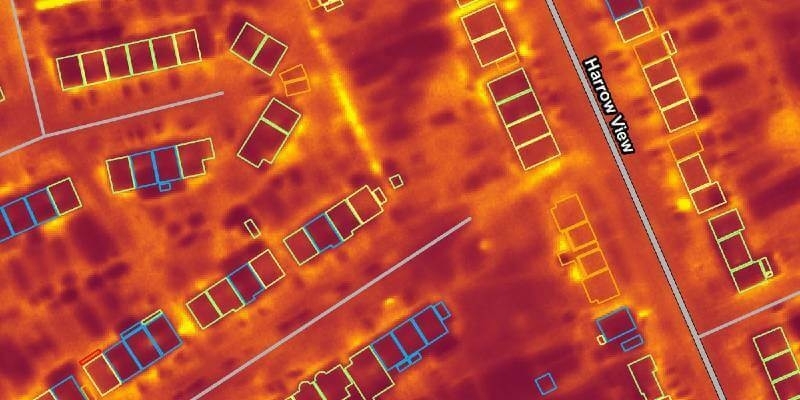
9th November 2022
Bluesky Aerial Thermal Surveys Show Heat-Loss from Homes
4th November 2022
Hexagon to update aerial data of eight U.S. states at six-inch resolution in 2023 for the HxGN Content Program
3rd November 2022
Getting the smallest details from a safe distance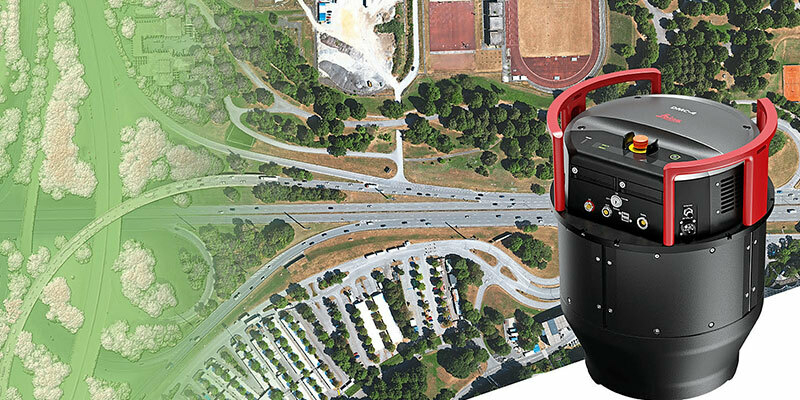
2nd November 2022
Leica Geosystems announces new Leica DMC-4 airborne imaging sensor delivering superior image fidelity
2nd November 2022
New Vexcel partner Beijing GuoCe opens flagship store in China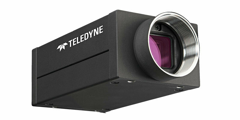
2nd November 2022
Teledyne announces next generation 5GigE area scan camera platform
2nd November 2022
Bluesky takes to the skies to capture more oblique views of UK cities
19th October 2022
Bluesky International announced as supplier for new Ordnance Survey framework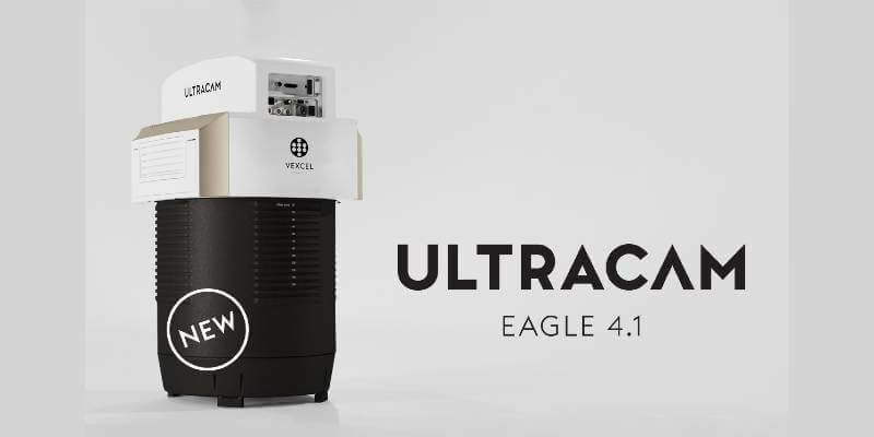
19th October 2022
Vexcel introduces new UltraCam Eagle 4.1 photogrammetric aerial camera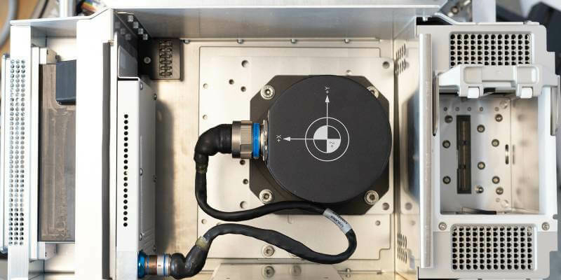
18th October 2022
Vexcel Imaging unveils its new UltraNav version 7 including a new partnership with TopoFlight
17th October 2022
EAASI joins the Private Sector Network of the UNGGIM
30th September 2022
New Vexcel Partner Beijing GuoCe opens Flagship Store in China
22nd September 2022
Bluesky Takes to the Skies to Capture More Oblique Views of UK Cities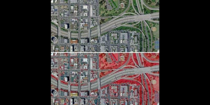
12th September 2022
Hexagon announces aerial data collection of eight U.S. states at 6-inch resolution
9th September 2022
Leica Geosystems announces new Leica DMC-4 airborne imaging sensor delivering superior image fidelity
5th September 2022
Fototerra’s purchase of new Optech Galaxy PRIME will enable pristine, high-resolution mapping of forests and urban centres in Latin and South America
16th August 2022
Bluesky Wins Extension to Multi Million Pound UK Government Mapping Contract
3rd August 2022
Bluesky Reveals Growing Appetite for Geospatial Data
27th July 2022
Choosing the right camera for drone mapping
20th July 2022
Bluesky’s Tree Map Helps Green Infrastructure Planning for Swansea Housing
19th July 2022
Teledyne FLIR releases Boson+ longwave infrared thermal camera module with sensitivity of 20mK or less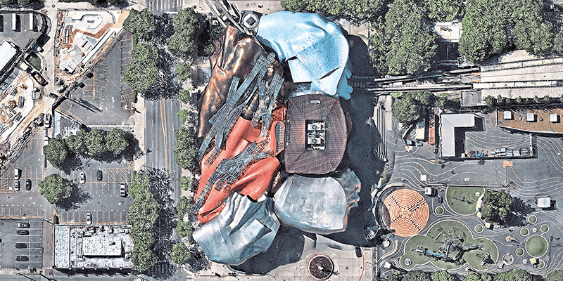
19th July 2022
UP42 partners with Nearmap to offer high-resolution aerial imagery of U.S., Canada, Australia, and New Zealand
19th July 2022
Phase One announces next-generation aerial solutions enhanced with near infrared capabilities