
European Union with seamless satellite-based coverage of Europe
13th July 2018
European Union with seamless satellite-based coverage of EuropeAerial imaging is revolutionizing the way we capture, analyze, and utilize geospatial data. Using high-resolution aerial photography and remote sensing technologies, it provides accurate and detailed visual information essential for mapping, environmental monitoring, infrastructure planning, and disaster response.
Modern aerial imaging solutions include manned aircraft, UAVs (drones), and satellite-based systems equipped with advanced sensors such as LiDAR, multispectral, and hyperspectral cameras. These technologies enable high-precision mapping, 3D terrain modeling, change detection, and real-time geospatial analysis, supporting industries such as urban planning, agriculture, forestry, defense, and construction.
With cloud-based processing, AI-powered image analysis, and real-time data streaming, aerial imaging continues to advance, offering faster, more accurate, and scalable solutions for GIS professionals and decision-makers.
GeoConnexion provides the latest insights on aerial imaging trends, innovations, and applications, helping professionals leverage aerial data for better spatial intelligence and operational efficiency.
13th July 2018
European Union with seamless satellite-based coverage of Europe
11th July 2018
Virtual Surveyor Streamlines Workflow, Enhances User Experience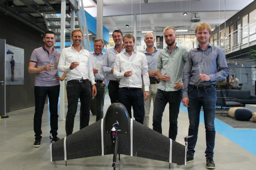
3rd July 2018
Next-generation mapping drone raises capital for further expansion
2nd July 2018
Headwall Appoints Christopher Calling to Board of Directors
28th June 2018
Bluesky Tree Map Helps Insurers Manage Drought Subsidence Risk
28th June 2018
EarthSense Joins Project to Reduce Air Pollution in Oxfordshire
27th June 2018
Juniper Unmanned Named 2018 Colorado Company
27th June 2018
NIBE Hots Up Service Levels with Maxoptra Routing
25th June 2018
Cloud to power Canary Wharf Digital Transformation22nd June 2018
Esri User Conference Highlights Where Mapping Technology Is Headed Next
21st June 2018
Safe Software renews FME Certification for 1Spatial’s Mary O’Brien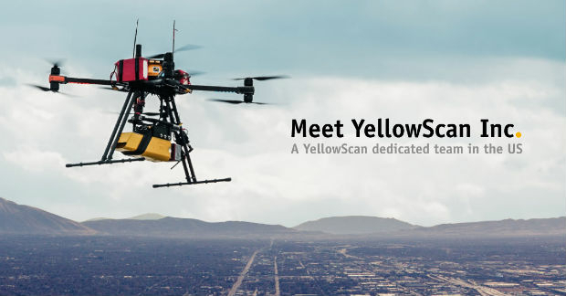
21st June 2018
YellowScan, UAV LiDAR specialist, opens YellowScan Inc. in Salt Lake City.
19th June 2018
ObliMapper Transforming Drone Imagery into Actionable Visual Intelligence19th June 2018
PCI Geomatics Attend 39th Annual Canadian Symposium on Remote Sensing19th June 2018
Call for Proposals - ISPRS Scientific Initiatives 2019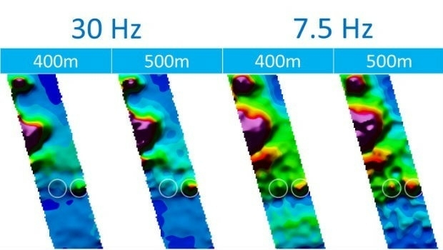
18th June 2018
CGG’s Helitem Shatters AEM Low-Frequency Barrier18th June 2018
Inaugural European Drone Summit in Frankfurt16th June 2018
Expanded Focus on Drones in Public Safety at InterDrone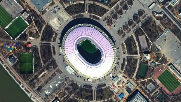
15th June 2018
FIFA World Cup 2018 Stadiums As Seen From Space
14th June 2018
EarthSense Activates Zero Emission Running to Reduce City Air Pollution
12th June 2018
Headwall Integrates Hyperspectral and LiDAR Aboard UAV Platforms
12th June 2018
SimActive Software for Precision Agriculture in Brazil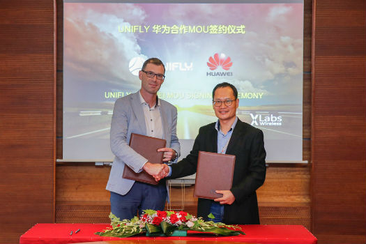
11th June 2018
Huawei and Unifly Collaborate to Identify and Track Drone Flights10th June 2018
AP-Flyer is the Latest Sponsor of UAV Technology Conference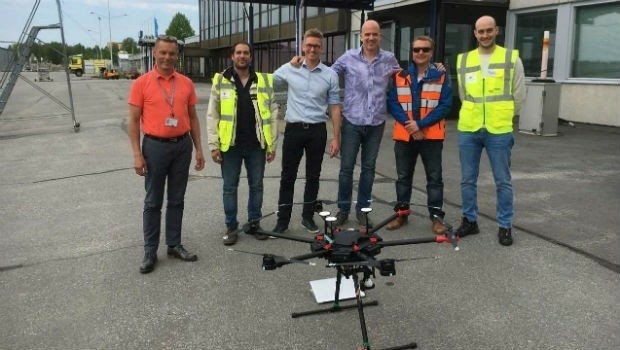
8th June 2018
Unifly and CanardDrones show real capabilities in Finland8th June 2018
Sofradir and ULIS undergo structural reorganization
8th June 2018
Pix4D launches its first fully dedicated product for agriculture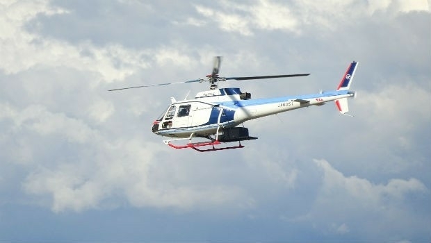
7th June 2018
NAKANIHON and RIEGL to Give Joint Presentation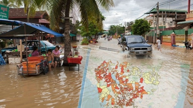
7th June 2018
thinkWhere Helps Manage Disasters in Cambodia
6th June 2018
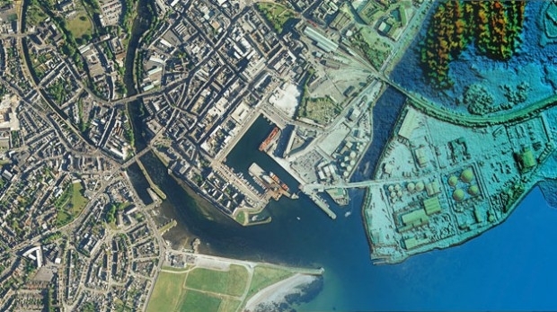
Bluesky Takes Aerial Mapping to New Levels in 2018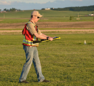
31st May 2018
Merrick Releases Version 2018 MARS® Software Suite
31st May 2018
Pointfuse Unlocks ‘As Built’ Data with Autodesk Integration
30th May 2018
Bluesky Takes to the Air to Complete Aerial Mapping of Ireland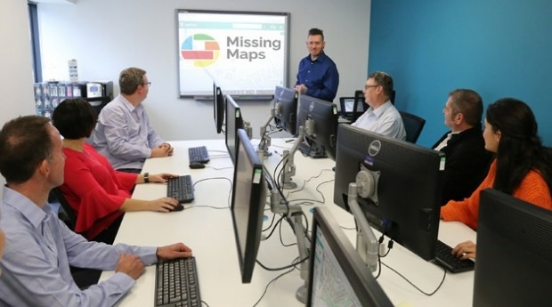
24th May 2018
thinkWhere Supports Global Humanitarian Project to Map Disaster Areas23rd May 2018
Global Mapper Helps Aerial Filmworks, Win Pulitzer Prize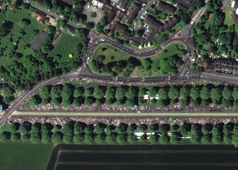
22nd May 2018
Satellite Image Shows Massive Royal Wedding Crowds

22nd May 2018
Bluesky Esri UK Partnership Helps Roll-Out of 5G and Full Fibre Networks
22nd May 2018
Expanded Enterprise Focus at Largest Commercial Drone Show in USA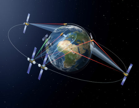
18th May 2018
SpaceDataHighway: 10,000 successful laser connections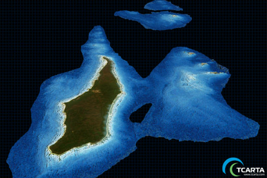
17th May 2018
TCarta Delivers Satellite Derived Bathymetry Data
16th May 2018
Deimos Imaging awarded contract exceeding USD $2,6M by Brazilian MoD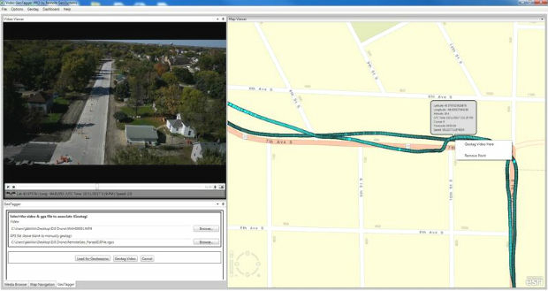
16th May 2018
Remote GeoSystems Releases All-New Video GeoTagger
15th May 2018
SimActive Software Saving Hours for DJI Drone Surveys
14th May 2018
senseFly user conference aims to optimize drone operations