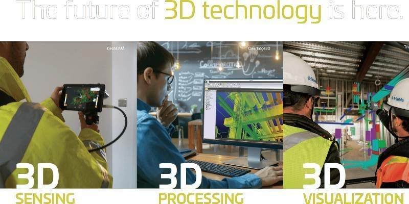
Co-Located Events AEC Next, SPAR 3D, and Geo Week Pivot to Virtual Content Series for 2020
11th June 2020
Co-Located Events AEC Next, SPAR 3D, and Geo Week Pivot to Virtual Content Series for 2020The creation, visualisation and use of three-dimensional representations of real or virtual world terrains, surfaces, elevations and built objects
Three-dimensional models are used increasingly in the public and private sectors and in academic research to visualise and analyse real or virtual world features and objects. This topic encompasses the creation of 3D geometric models from captured spatial data and their use in applications that include architecture, construction, engineering, urban planning, city and infrastructure modelling, transport and utility network planning and management, asset management, entertainment film production, video gaming and the geosciences. Additionally, the topic covers the creation and use of 3D models that make use of Virtual, Augmented and Mixed Reality techniques

11th June 2020
Co-Located Events AEC Next, SPAR 3D, and Geo Week Pivot to Virtual Content Series for 2020
10th June 2020
Bentley Systems’ Year in Infrastructure 2020 Conference is Going Digital9th June 2020
23rd ICA Workshop on Map Generalisation and Multiple Representation8th June 2020
Blog: Transforming the way we plan, design, build and operate our national infrastructure using geospatial data infrastructures (Part 1)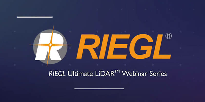
8th June 2020
Recordings Are Now Available For Riegl Ultimate Lidar May Webinar Series
5th June 2020
Bentley Systems Opens Up Full Access to LEGION Simulator and OpenBuildings Station Designer and Waives Subscription Fees through September 30
3rd June 2020
Riegl Ricast: Josh France Interviews Longtime Vmx User, Joe Feyder Of Rey Engineers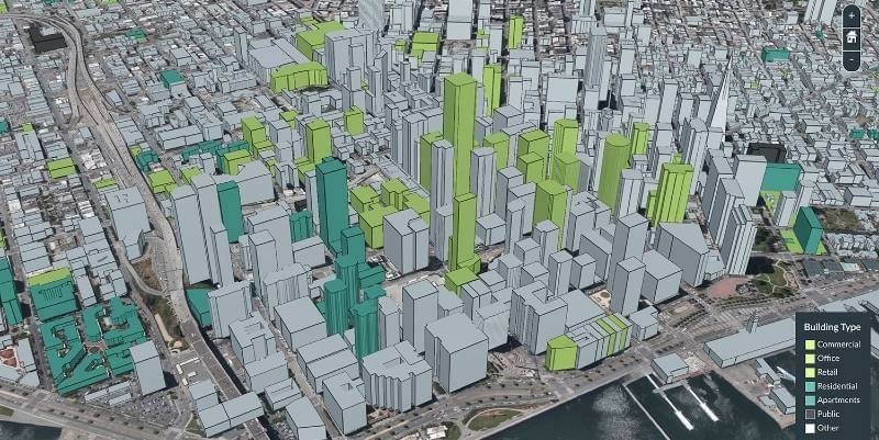
29th May 2020
Riegl Ricast Podcast Goes Global: Now Available From Your Favorite App Stores28th May 2020
Spie Defense + Commercial Sensing Digital Forum 2020: Riegl’s Scientific Presentations Now Online
25th May 2020
Free RIEGL Webinars in week 22: Get a deeper insight into RIEGL's Ultimate LiDAR Technology
21st May 2020
Bentley Systems Adds Infrastructure Industry Experience to Digital Twin Consortium18th May 2020
Europe’s Mining in Critical Times and Beyond15th May 2020
Register for the RIEGL webinar "LiDAR for Vertical Construction"14th May 2020
Pointfuse and Leica Geosystems announce a new software and global cooperation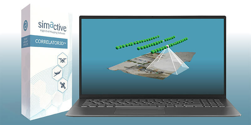
13th May 2020
Simactive - How to Perform Aerial Triangulation with Correlator3D13th May 2020
The Riegl VMX-RAIL triple scanner mobile mapping system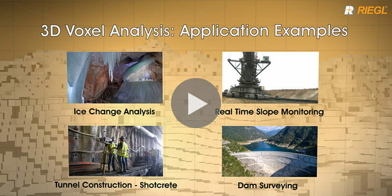
8th May 2020
Riegl's new 3D Voxel Analysis Tool within RiSCAN Pro
4th May 2020
MicroSurvey - FieldGenius For Android Point Line
24th April 2020
MicroSurvey - FieldGenius for Android Staking