Teledyne Announces New Ladybug6 Cameras for High Accuracy 360-Degree Spherical Image Capture
1st March 2023
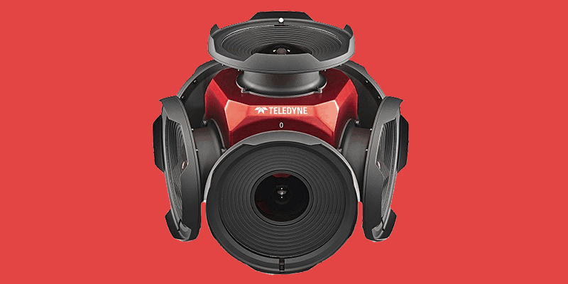
Teledyne Announces New Ladybug6 Cameras for High Accuracy 360-Degree Spherical Image CaptureThe creation, visualisation and use of three-dimensional representations of real or virtual world terrains, surfaces, elevations and built objects
Three-dimensional models are used increasingly in the public and private sectors and in academic research to visualise and analyse real or virtual world features and objects. This topic encompasses the creation of 3D geometric models from captured spatial data and their use in applications that include architecture, construction, engineering, urban planning, city and infrastructure modelling, transport and utility network planning and management, asset management, entertainment film production, video gaming and the geosciences. Additionally, the topic covers the creation and use of 3D models that make use of Virtual, Augmented and Mixed Reality techniques
1st March 2023
Teledyne Announces New Ladybug6 Cameras for High Accuracy 360-Degree Spherical Image Capture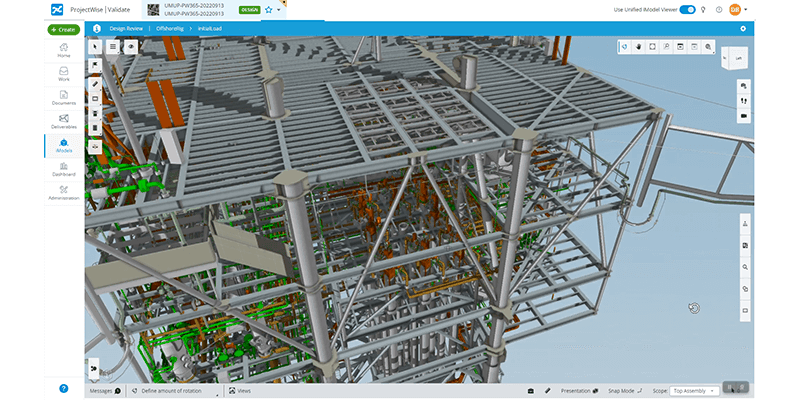
1st March 2023
Bentley Systems Announces Bentley Infrastructure Cloud, Powered by Itwin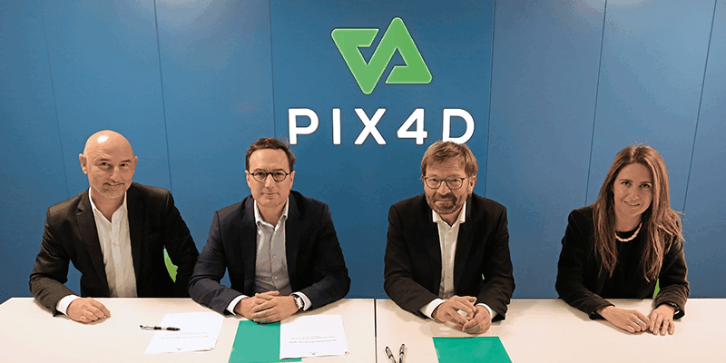
1st March 2023
Axians France Enters Into a Partnership With Pix4D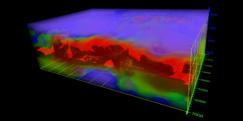
1st March 2023
Golden Software Adds Powerful New 3D Subsurface Visualization Functionality to Surfer Surface Mapping Package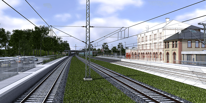
1st March 2023
Hexagon Adds Speed, Scalability and Automation to Digital Twin Creation With the Acquisition of LocLab

1st March 2023
Bentley Systems Announces Retirement of Founder Keith Bentley and Promotion of Julien Moutte to Chief Technology Officer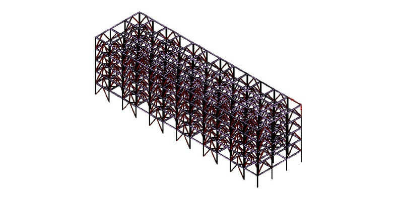
28th February 2023
Hexagon Unveils New Release of Structural Engineering Software GT STRUDL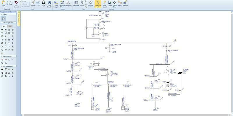
27th February 2023
Bentley Systems Announces Acquisition of EasyPower, Power Systems Engineering Software Provider
14th February 2023
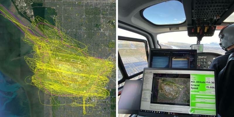
Bluesky Geospatial Launches MetroVista 3D Aerial Mapping Program in U.S.
13th February 2023
Creaform Opens New Repair Center to Cover the EMEA Region
9th February 2023
Geo Week features sold-out exhibit floor and 2,500+ registrants
8th February 2023
Esri Releases New ArcGIS Reality Software to Capture the World in 3D
1st February 2023
Presagis Introduces VELOCITY 5D Plugin for Unreal Engine
20th January 2023
Intermap Announces New Flood Modeling Initiative in Thailand
4th January 2023
BAAM.Tech Named North American Software Distributor and Technical Support Partner for Terrasolid
29th December 2022
Vodafone’s mobile network has a digital twin

22nd December 2022
Hexagon adds speed, scalability and automation to digital twin creation with the acquisition of LocLab
19th December 2022
Evercam’s new 4D View, powered by iTwin, improves collaboration with easier access to real-time videos and project design data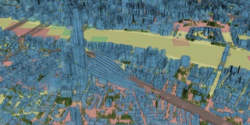
15th December 2022
Vodafone’s mobile network has a digital twin
7th December 2022
Coastal concerns: how data can help us understand the pressure of climate change
6th December 2022
Immersal launches AR game arcade solution
1st December 2022
Digital Integrator Cohesive Group Acquires Vetasi, Provider of IBM Maximo Managed Services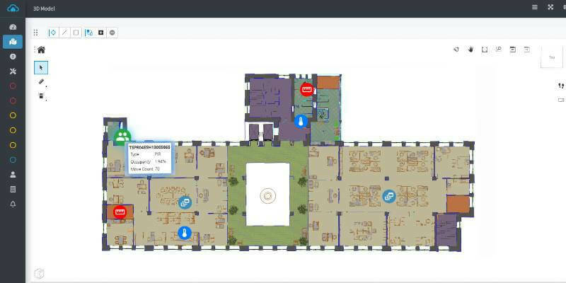
30th November 2022
iNESS Data Twins of Commercial Spaces Powered by Bentley iTwin
29th November 2022
Hexagon and Fujitsu support Stuttgart’s urban digital twin project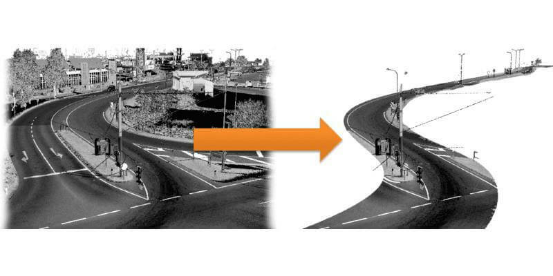
29th November 2022
RiPROCESS version 1.9.3 is available now
17th November 2022
Riegl Lidar Used In Award Winning Digital Twin Project At YVR Airport
16th November 2022
Presagis Launches Cloud-Based VELOCITY 5D Digital Twin Production Platform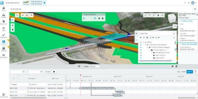
11th November 2022
Bentley Systems Enhances SYNCHRO Construction Management Solution with New Capabilities and Applications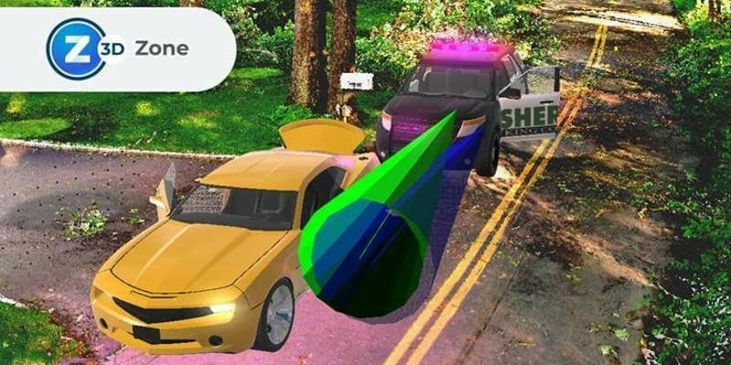
10th November 2022
FARO Zone 3D Forensic Scene Analysis Software Delivers New Photogrammetry Capabilities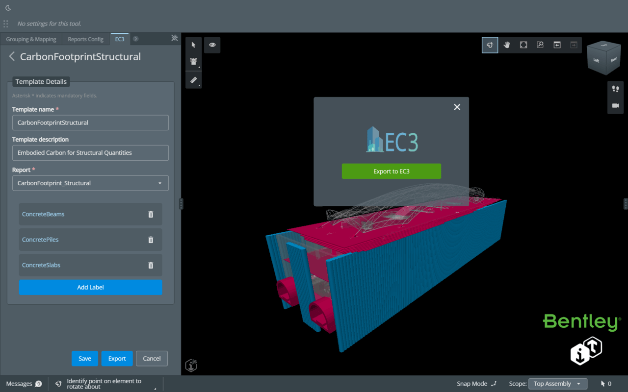
8th November 2022
Bentley Systems Announces Integration of EC3 with the Bentley iTwin Platform for Infrastructure Carbon Calculation
2nd November 2022
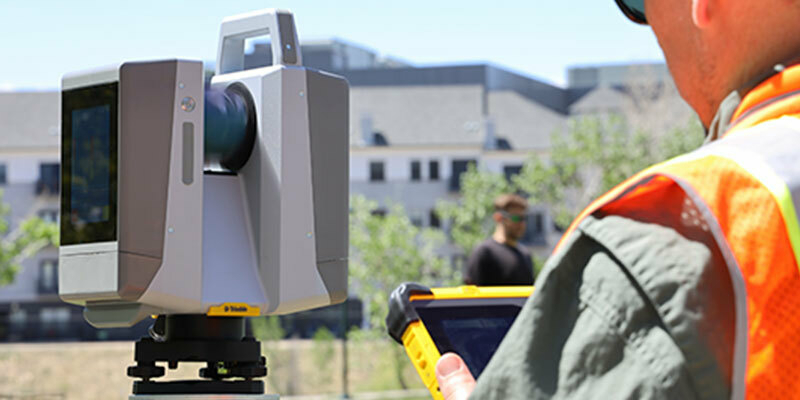
New scanning and imaging solution from Trimble simplifies 3D deliverables2nd November 2022
Fukui computer partners with Bentley Systems to promote digital transformation in Japan’s infrastructure field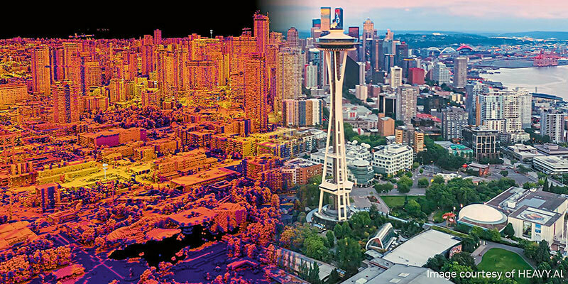
2nd November 2022
HEAVY.AI launches industry’s first digital twin for telco network planning, building and operations, leveraging the NVIDIA Omniverse platform2nd November 2022
Akular Twin achieves powered by iTwin designation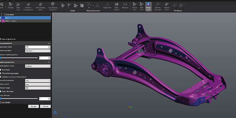
2nd November 2022
Creaform releases tenth version of their VXelements 3D measurement software platform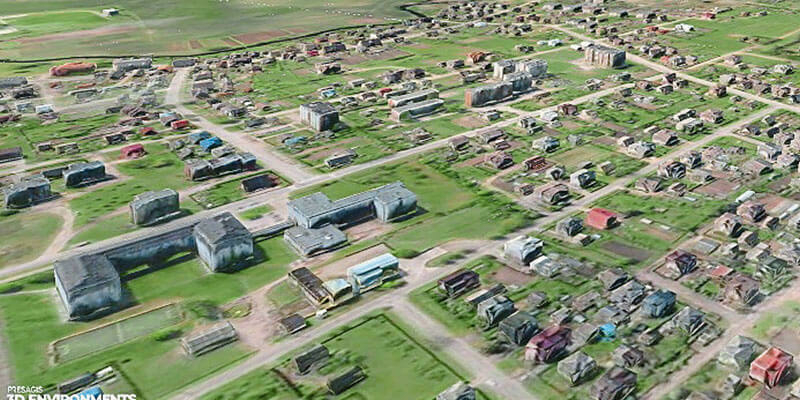
2nd November 2022
Presagis extends 3D tiles next workflow into Esri ArcGIS Pro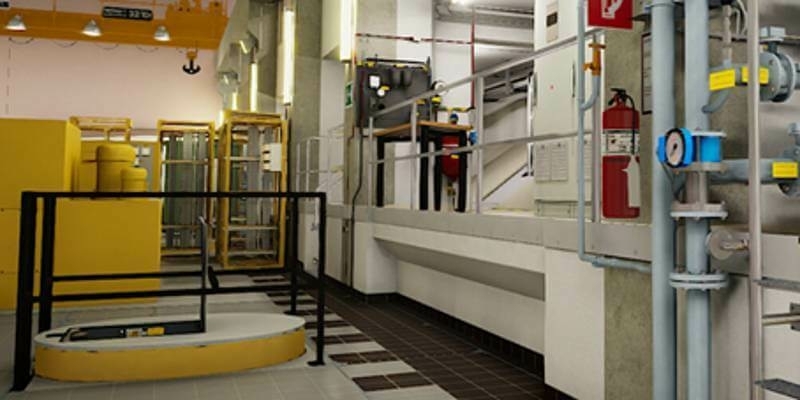
21st October 2022
Hexagon and LocLab announce strategic partnership to accelerate the adoption of Smart Digital Realities in transportation, construction and urban planning
20th October 2022
Geo Week Announces Media Support for 2023 Event
17th October 2022
Intergeo 2022: The Power Of The 'Digital Twins' 3D Models Make The World Smarter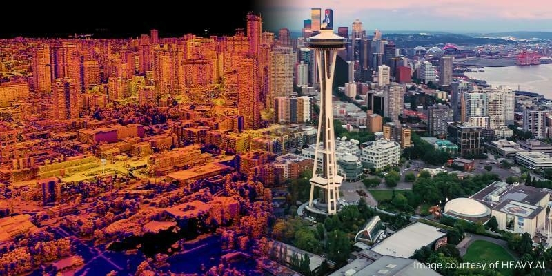
21st September 2022
HEAVY.AI Launches Industry’s First Digital Twin for Telco Network Planning, Building and Operations, Leveraging the NVIDIA Omniverse Platform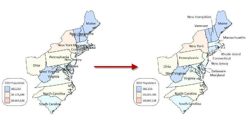
15th September 2022
Golden Software Enhances Grid Displays and Data Coordinate Conversion in Latest Surfer Surface Mapping Package
14th September 2022
Bentley Systems to Host iTwin Developer Conference, Building Software for a Better World, Sept. 20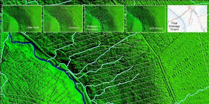
8th September 2022
LiDAR and Digital Surface Models from Bluesky Aid Wind Farm Planning
7th September 2022
Bentley Systems Announces Michael Campbell Joining as Chief Product Officer