
BIM Event Speakers Make Plea for Digital Transformation in Construction
28th June 2018
BIM Event Speakers Make Plea for Digital Transformation in Construction
28th June 2018
BIM Event Speakers Make Plea for Digital Transformation in Construction
28th June 2018
Bluesky Tree Map Helps Insurers Manage Drought Subsidence Risk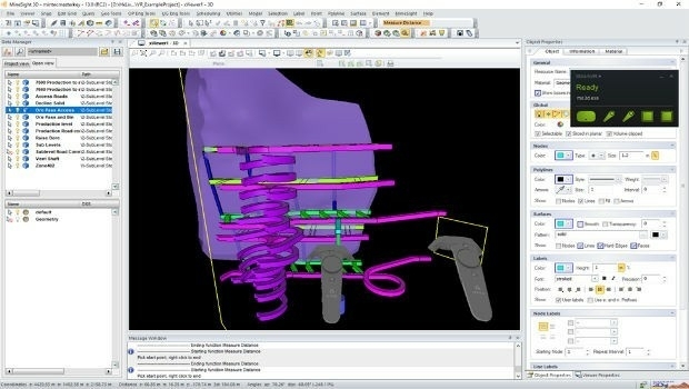
28th June 2018
Hexagon adds virtual reality to improved mine planning solution
26th June 2018
OpenPlant CONNECT Edition Deploys Bentley’s Innovative iModelHub26th June 2018
PDF3D Version 2.16 Focuses on CAD, CAE, Panoramic 360 and Engineering
25th June 2018
Cloud to power Canary Wharf Digital Transformation22nd June 2018
Soar TGE to generate the world’s first fully decentralised global super-map using drones21st June 2018
Bentley Systems Acquires Synchro Software to Extend Digital Workflows19th June 2018
Pointfuse Brings 3D Imaging Front of Stage for Theatrework15th June 2018
Bentley Systems Named 2018 Microsoft CityNext Partner of the Year15th June 2018
CGG Delivers Final PSTM Products for Dunquin Multi-Client Survey15th June 2018
Hexagon introduces HxGN MineOperate UG Pro for Miners15th June 2018
PDF3D's Global Expansion Continues with IDI Collaboration in Japan
14th June 2018
EarthSense Activates Zero Emission Running to Reduce City Air Pollution14th June 2018
Hexagon's Mining division launches streamlined product portfolio13th June 2018
Pointfuse 3D Models Boost Social Housing Management12th June 2018
Sercel Extends Capability of 508XT Seismic Acquisition System7th June 2018
Hexagon’s Geospatial Division to Unveil 5D Location Intelligence6th June 2018
Boundless Server Enterprise Now Available as Managed Cloud Service4th June 2018
Orbit GT releases upgrade of 3D Mapping Cloud SaaS platform4th June 2018
Pointfuse Showcases New Software at SPAR 3D
31st May 2018
Pointfuse Unlocks ‘As Built’ Data with Autodesk Integration
29th May 2018
GeoSLAM to Demo Fast, Easy and Versatile 3D Mobile Laser Scanning24th May 2018
Topcon system integrates with Volvo CE Dig Assist
22nd May 2018
Bluesky Esri UK Partnership Helps Roll-Out of 5G and Full Fibre Networks
17th May 2018
GeoSLAM To Showcase The Future Of Construction At GEO Business 201815th May 2018
Bentley Systems, Inc. to Present at GEO Business Event in London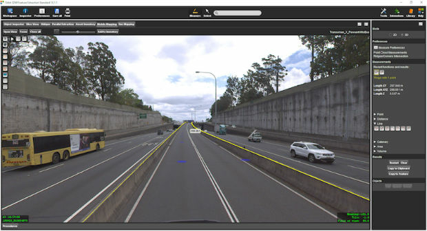
14th May 2018
Orbit GT 18.1.2 upgrade 3D Mapping Feature Extraction portfolio
14th May 2018
SphereVision Shows New 360 Imaging Tech at GEO Business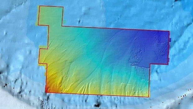
11th May 2018
Fugro Reports Successful Licensing Of Seep And Geochemical Data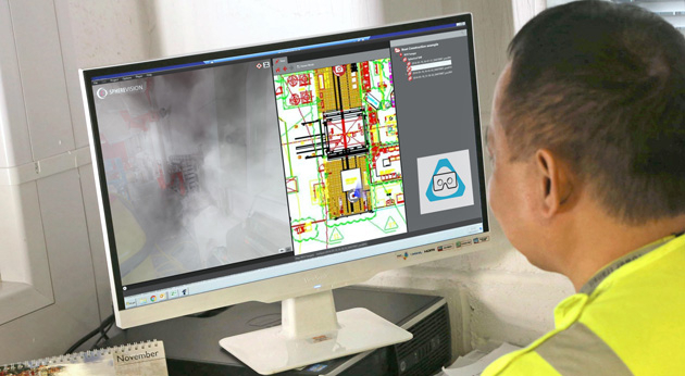
2nd May 2018
SphereVision Introduces Smoke Layer and VR Viewing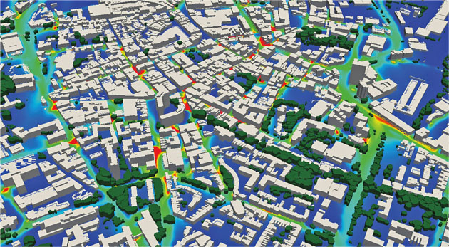
1st May 2018
EarthSense Maps Show Homeowners Air Pollution Levels1st May 2018
Bentley Systems Invites Members of the Press and Industry Analysts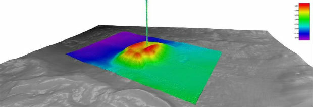
27th April 2018
Fugro Provides Seep Hunting Expertise Offshore Brazil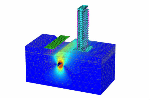
26th April 2018
Bentley Systems Acquires Plaxis, and Complementary SoilVision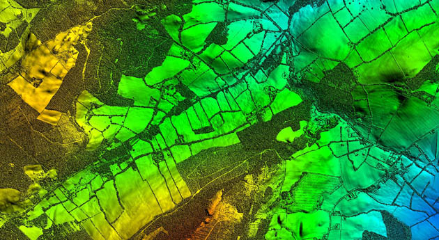
26th April 2018
Bluesky LiDAR Supports Major Irish Water Supply Project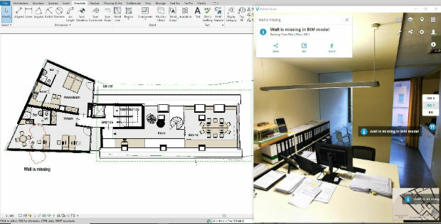
24th April 2018
3DUserNet announced today the release of their first generation API.24th April 2018
Creaform and Metrologic Group announce Worldwide Partnership Agreement23rd April 2018
Topcon announces upcoming MAGNET Enterprise release23rd April 2018
Topcon announces new modular 3D machine control excavation system23rd April 2018
Orbit GT and 3G-Consult, Tunisia, sign Reseller Agreement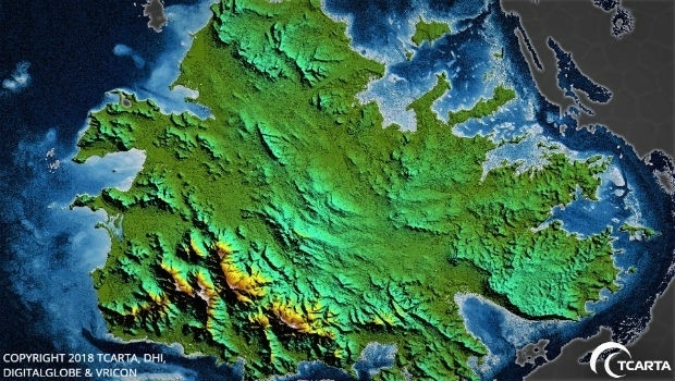
17th April 2018
TCarta Delivers Satellite-Derived Land/Sea Floor Surface Models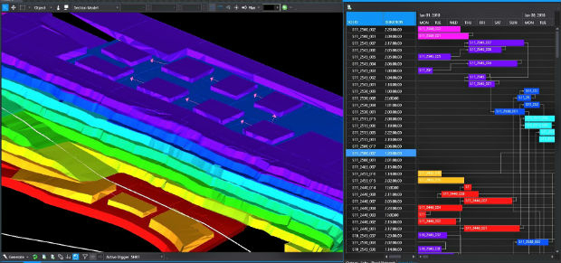
17th April 2018
Intelligent optimisation approach for strategic scheduling control