3D Repo Debuts Online Health and Safety Platform
20th September 2018
3D Repo Debuts Online Health and Safety Platform20th September 2018
3D Repo Debuts Online Health and Safety Platform19th September 2018
Global Mapper v.20 Now Available with Improved 3D Model Functionality
18th September 2018
David Glennon joins the UK BIM Alliance Executive Team15th September 2018
SITECO announces full compatibility of Road-Scanner data with TopoDOT6th September 2018
Latest PDF3D PV+ Release Broadens Scientific Data Reporting5th September 2018
3DR Announces Site Scan Esri® Edition for Esri Users4th September 2018
Submit an abstract for a chance to speak at SPAR 3D Expo & Conference3rd September 2018
CGG Develops a Centre for Advanced Imaging for PETRONAS31st August 2018
Schneider Electric Officially Releases Arcfm 10.6.1
30th August 2018
Be our guest at the infrastructure industry event of the year.28th August 2018
Fugro Acquires Data In Frontier Region Seep Hunting Programme28th August 2018
Siemens and Bentley partner in new digital solution28th August 2018
Siemens and Bentley Systems strengthen their strategic alliance22nd August 2018
Soar to Offer Atmosoar’s Revolutionary Weather Forecasting Technology22nd August 2018
Maptek and LlamaZOO bring the mine to brilliant life
16th August 2018
Eos, LaserTech and Esri Introduce Laser Mapping Workflow15th August 2018
Hexagon expands Mining division’s channel program14th August 2018
Orbit GT releases free Esri ArcOnline Widget13th August 2018
Acquisition Of Data For Norway’s Mareano Seabed Mapping Programme10th August 2018
The Latest Version of SuperGIS Server Will Make Its Debut in Q4!9th August 2018
Orbit GT and CompassData Inc USA, sign Reseller Agreement9th August 2018
The First GRSG Oil & Gas Workshop Hailed a Great Success9th August 2018
Blue Marble Announces Distinguished Speakers for User Conference8th August 2018
Orbit GT releases free Esri ArcGIS Pro add-in8th August 2018
Latest software release from Maptek supports 19,000 Vulcan users
8th August 2018
Bentley Announces Finalists in the Year in Infrastructure 2018 Awards
7th August 2018
EarthSense App Promotes Clean Air Routes for Exercise6th August 2018
Hexagon acquires mine safety specialist, Guardvant2nd August 2018
Freemium plan for developers to build location-aware applications31st July 2018
Skanska Speeds BIM Workflows with Pointfuse As-Built Models21st July 2018
Carlson SurvCE and SurvPC 6.0 Available Now20th July 2018
3D Laser Mapping And GeoSLAM Global Merger Announcement
20th July 2018
Bentley Systems Presents Synchro Software Solution
18th July 2018
3D Repo Drives Adoption of BIM with UK BIM Alliance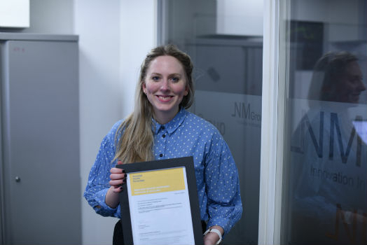
17th July 2018
NM Group and Durham University complete outstanding research17th July 2018
PDF3D Panoramic 360 into PDF Tool for the First Time17th July 2018
Golden Software Announces Educational Site License for Universities
13th July 2018
Hexagon opens new mining headquarters in Tucson, Arizona12th July 2018
Pointfuse Software Powers VR 'Preevues' for West End Shows11th July 2018
Avenza Releases MAPublisher 10.2 For Adobe Illustrator
7th July 2018
Orbit GT to showcase Geomni Oblique content in ArcOnline/ArcGIS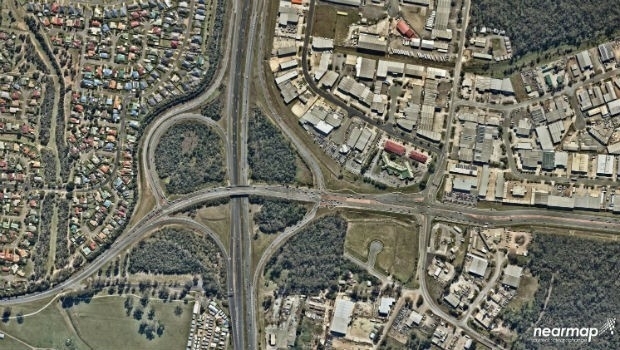
6th July 2018
Mobile Mapping System Helps Australia’s Northgroup6th July 2018
Create your 2D Maps and 3D scenes with Ease by Appling New SuperGIS Server 3D Extension!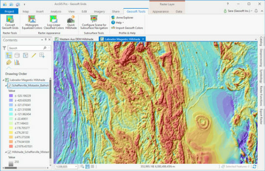
5th July 2018
Geosoft add-in enhances integration with ArcGIS Pro2nd July 2018
OGC Seeks Public Comment on 3D Tiles Candidate Community Standard