Bluesky 3D Models Help Anglian Water Improve Infrastructure
7th November 2018
Bluesky 3D Models Help Anglian Water Improve Infrastructure7th November 2018
Bluesky 3D Models Help Anglian Water Improve Infrastructure5th November 2018
GreenValley International launches new power line analysis software1st November 2018
Bluesky Aerial Mapping Features in Orbx Flight Simulator
25th October 2018
Pakistan’s Bahria University Benefits from CGG GeoSoftware’s Donation25th October 2018
Dassault Systèmes Introduces SOLIDWORKS 201923rd October 2018
Schiphol to organize a BIM for Facility Management program23rd October 2018
Schneider Electric Expands Electric, Gas And Water Features
23rd October 2018
Bentley Systems Announces Winners of Year in Infrastructure 2018 Awards
22nd October 2018
ARUP Hosted BIM Event Success for 3D Repo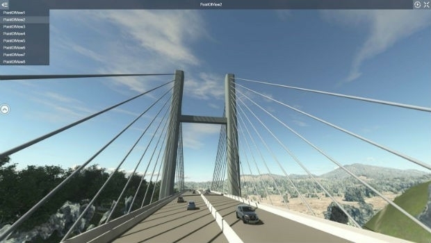
22nd October 2018
Comprehensive Modeling Environment for Multidiscipline Collaboration18th October 2018
Apps from Avineon Now Available in the ArcGIS Marketplace18th October 2018
Geospatial Media and Communications announces GEO|Design+BIM Awards18th October 2018
Exprodat Upgrades Exploration Software to ArcGIS Pro18th October 2018
Pointfuse Launches New Point Cloud Software at Intergeo18th October 2018
Hexagon Geosystems at GEO|Design+BIM 201817th October 2018
DotProduct announces Dot3DTM 3.0 with Intel® RealSenseTM 3D scanning17th October 2018
Geomni Forms Strategic Alliance with Skyline Software Systems17th October 2018
Trimble Inpho Software Suite Extends Photogrammetric Deliverables
17th October 2018
Siemens and Bentley Systems Announce Integrated APM Solution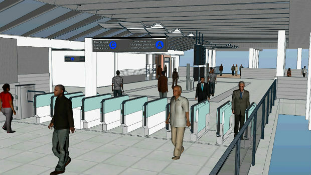
17th October 2018
Bentley Systems Acquires LEGION, Leading Pedestrian Simulation Software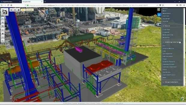
17th October 2018
Siemens and Bentley Systems announce PlantSight™17th October 2018
Bentley Acquires Agency9 to Realize Digital Twins for Every City17th October 2018
Going Digital (Twins): Bentley Inaugurates iTwinTM Services!16th October 2018
GeoSLAM Welcomes New Member Of ZEB Family For Indoor + Outdoor Use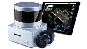
16th October 2018
Kaarta Announces Stencil 2 Mobile Mapping System15th October 2018
Pointfuse Launches New Laser Scanning Software Suite12th October 2018
Orbit GT signs strategic Smart Mapping deal with Singapore Land Authority at Embassy12th October 2018
Global Mapper Adds Online Access to NEXTMap One™10th October 2018
SITECO's NEW Road-SIT Survey v. 7.0 AT INTERGEO 201810th October 2018
Orbit GT and Mitsubishi to co-operate and demo at Intergeo, Frankfurt.10th October 2018
OGC and Khronos Form a Liaison to Improve Interoperability9th October 2018
Spottitt Launches Cloud-Based Geospatial Data Analysis9th October 2018
Hexagon presents solutions for smart digital realities at INTERGEO8th October 2018
NavVis IndoorViewer converts static scans into immersive 360° imagery5th October 2018
Hybrid multipair custom cable to enhance geophysical borehole3rd October 2018
Orbit GT opens Singapore office to support APAC region expansion2nd October 2018
PDF3D Helps IronCAD Integrator Add 3D Parts List Publishing
1st October 2018
DYWIDAG-Systems International (DSI) Acquires Datum Group29th September 2018
Orbit GT to exhibit and showcase new releases at INTERGEO, Frankfurt28th September 2018
Getech Releases Globe 2018 for Improved Basin Screening and Exploration
27th September 2018
Joining the dots with new viaEuropa vector tile service from Europa25th September 2018
Discover more with new OS Maps 3D feature (WITH VIDEO22nd September 2018
Mirasense and XenomatiX Win Technology Showcase20th September 2018
Esri Location Intelligence Empowers Innovation