3D Laser Mapping Launches New Multiplatform Mapping System
24th May 2016
3D Laser Mapping Launches New Multiplatform Mapping System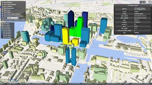
CartoConsult delivers instant Smart City models with web streaming
19th May 2016
CartoConsult delivers instant Smart City models with web streaming
Harris Geospatial Solutions to Offer Icaros OneButton™ with ENVI®
18th May 2016
Harris Geospatial Solutions to Offer Icaros OneButton™ with ENVI®
New 3D Modelling application to save money and time
18th May 2016
New 3D Modelling application to save money and time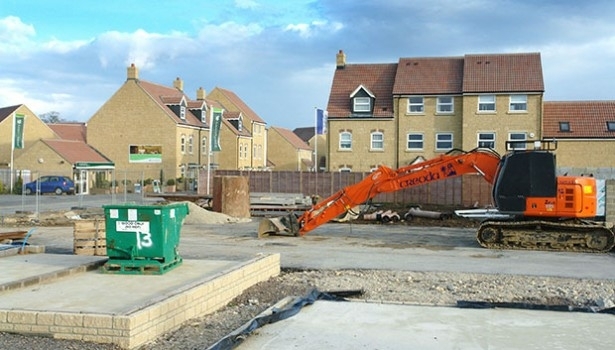
Bluesky Data Supports Feasibility Study for New Village Development
13th May 2016
Bluesky Data Supports Feasibility Study for New Village Development
Arithmetica Reveals Latest Tech at Museums and Heritage Show
9th May 2016
Arithmetica Reveals Latest Tech at Museums and Heritage Show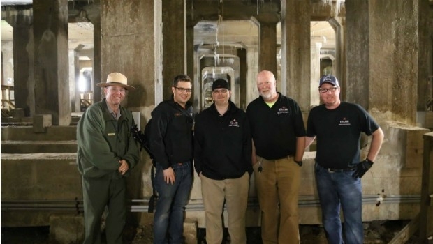
National Mall Employs HighTech Surveying for 21st-Century Preservation
5th May 2016
National Mall Employs HighTech Surveying for 21st-Century PreservationeyesMap3D: The most accurate and powerful 3D photo modeling software
4th May 2016
eyesMap3D: The most accurate and powerful 3D photo modeling software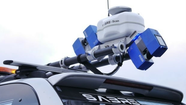
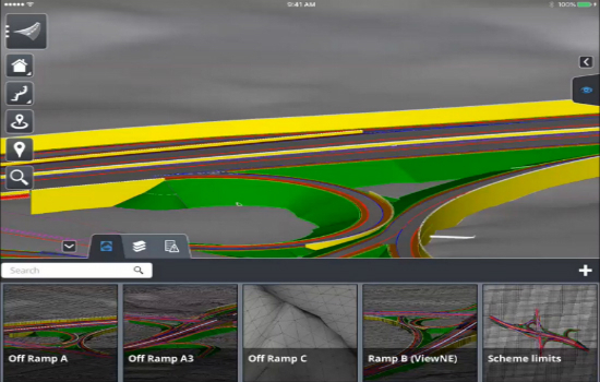
Announcing Bentley OpenRoads Navigator App
28th April 2016
Announcing Bentley OpenRoads Navigator App
MICROMINE and Carlson Software Inc. Strengthen Partnership
28th April 2016
MICROMINE and Carlson Software Inc. Strengthen Partnership
New Mexico Chooses Hexagon Safety & Infrastructure
26th April 2016
New Mexico Chooses Hexagon Safety & InfrastructureAnnouncing Euclideon Geoverse 1.4 Including Autocad® Support
26th April 2016
Announcing Euclideon Geoverse 1.4 Including Autocad® SupportElsevier and Schlumberger Integrate Partnership Further
26th April 2016
Elsevier and Schlumberger Integrate Partnership FurtherFirst Bentley ContextCapture Workshop in Madrid, Spain
23rd April 2016
First Bentley ContextCapture Workshop in Madrid, SpainAVEVA Engage transforms collaborative decision-making
21st April 2016
AVEVA Engage transforms collaborative decision-makingBluesky 3D Photomaps Help Manage City’s Green Space
21st April 2016
Bluesky 3D Photomaps Help Manage City’s Green Space
NEW! PrimeScan: Entry-level solution for precise 3D digitization
18th April 2016
NEW! PrimeScan: Entry-level solution for precise 3D digitizationeeGeo Joins the Cisco Solution Partner Program
15th April 2016
eeGeo Joins the Cisco Solution Partner ProgramArithmetica reveals 360 imaging and 3D laser modeling tech at Forensics Europe
15th April 2016
Arithmetica reveals 360 imaging and 3D laser modeling tech at Forensics Europe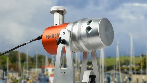
Renishaw welcomes Measutronics Corporation to its distributor network
15th April 2016
Renishaw welcomes Measutronics Corporation to its distributor network
BashNIPIneft LLC selects AVEVA software for major brownfield project
13th April 2016
BashNIPIneft LLC selects AVEVA software for major brownfield project
Leica Geosystems and Spheron-VR collaborate
13th April 2016
Leica Geosystems and Spheron-VR collaborate
AVEVA showcases the Future of Steel Fabrication in North America
12th April 2016
AVEVA showcases the Future of Steel Fabrication in North America
MICROMINE 2016 to be launched in May with new and exciting features
12th April 2016
MICROMINE 2016 to be launched in May with new and exciting features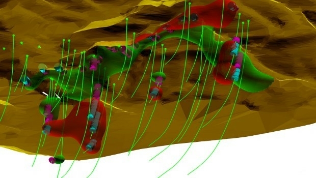
Maptek releases Vulcan 10 incorporating new Workbench platform
12th April 2016
Maptek releases Vulcan 10 incorporating new Workbench platform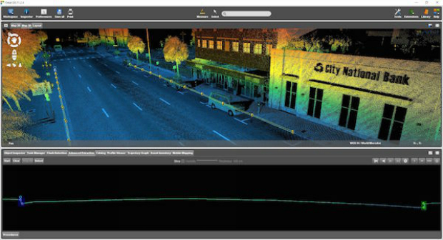
Orbit GT shows automated Feature Extraction tools at SPAR, Houston.
11th April 2016
Orbit GT shows automated Feature Extraction tools at SPAR, Houston.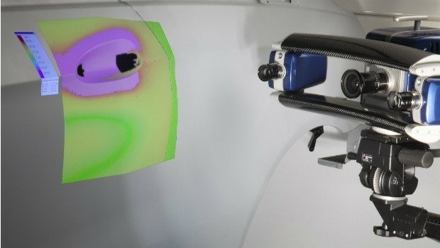

Arithmetica to Launch Pointfuse V2 at SPAR 3D 2016
6th April 2016
Arithmetica to Launch Pointfuse V2 at SPAR 3D 2016
Experimental location based augmented reality system for utilities infrastructure management tested.
6th April 2016
Experimental location based augmented reality system for utilities infrastructure management tested.
Improved Mine Planning Software in Spring release
6th April 2016
Improved Mine Planning Software in Spring release
Exprodat Supports OGA Exploration Licence Competition
5th April 2016
Exprodat Supports OGA Exploration Licence Competition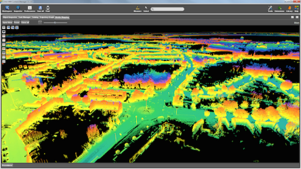
Orbit GT releases update for essential Mobile Mapping Content Manager
31st March 2016
Orbit GT releases update for essential Mobile Mapping Content Manager
DMT successfully completes exploration seismic project in Munich
29th March 2016
DMT successfully completes exploration seismic project in Munich

Greg Bentley, CEO of Bentley Systems, Inc to deliver keynote on 3D
24th March 2016
Greg Bentley, CEO of Bentley Systems, Inc to deliver keynote on 3D
ULA Atlas V Rocket lifts off with 3D Printed Parts
24th March 2016
ULA Atlas V Rocket lifts off with 3D Printed Parts
Learn to Use Multidimensional Scientific Data with ArcGIS Technology
22nd March 2016
Learn to Use Multidimensional Scientific Data with ArcGIS Technology
Dassault Systèmes to Develop Smart Facility Solution
22nd March 2016
Dassault Systèmes to Develop Smart Facility Solution
INTERGEO: supporting Hamburg’s Smart City quest
21st January 2016
INTERGEO: supporting Hamburg’s Smart City quest