
Bentley Systems to Present at BIM4Water Summer Reception in London UK
2nd June 2017
Bentley Systems to Present at BIM4Water Summer Reception in London UK2nd June 2017
Bentley Systems to Present at BIM4Water Summer Reception in London UK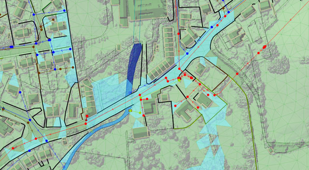
1st June 2017
Bluesky Laser Mapping Helps Create Flood Alleviation Model for Yorkshire Water31st May 2017
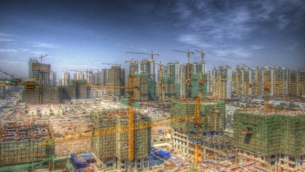
Discover the Secret to Reshaping a City’s Skyline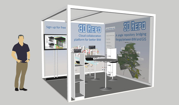
31st May 2017
3D Repo Launch BIM Platform with Integrated VR at National Infrastructure Forum
30th May 2017
3D Repo Joins UK Government’s G-Cloud Digital Marketplace.jpg)
27th May 2017
National Flood Forecasting and Warning System for Malaysian rivers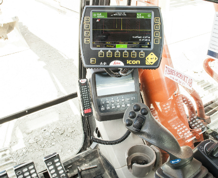
25th May 2017
Leica iCON excavate systems now support SVAB MACS control system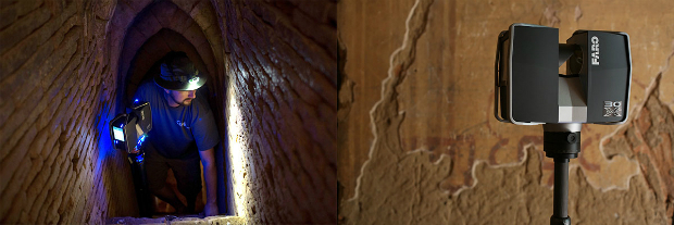
23rd May 2017
CyArk and FARO partner to save heritage in 3D19th May 2017
PDF3D Release 3D PDF Conversion Plugin for ParaView 5.3 Users
18th May 2017
GeoSLAM Expands Far East Operations With New Distributors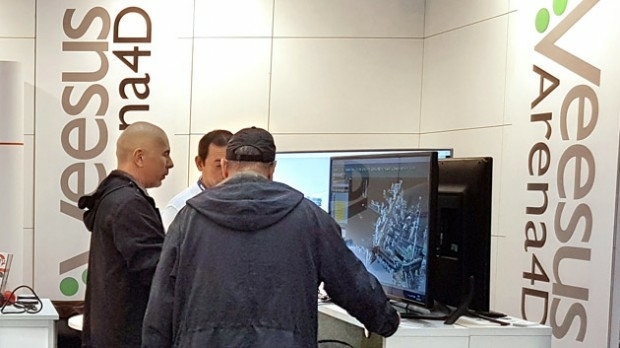
18th May 2017
Pointfuse Point Cloud Conversion in Arena4D at GEO Business 2017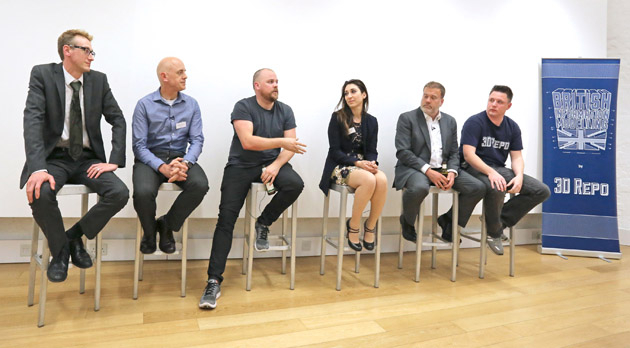
18th May 2017
Third British Information Modelling Event Wins Praise from Delegates15th May 2017
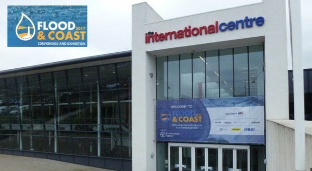
Responding to Emerging Environmental Threats
15th May 2017
Bluesky National Tree Map Helps Daventry Plan Ground Maintenance
12th May 2017
GIS in Transit Conference Program Details Published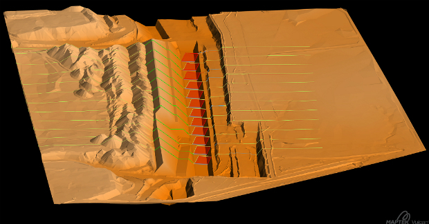
11th May 2017
Global software release from experienced solutions developer Maptek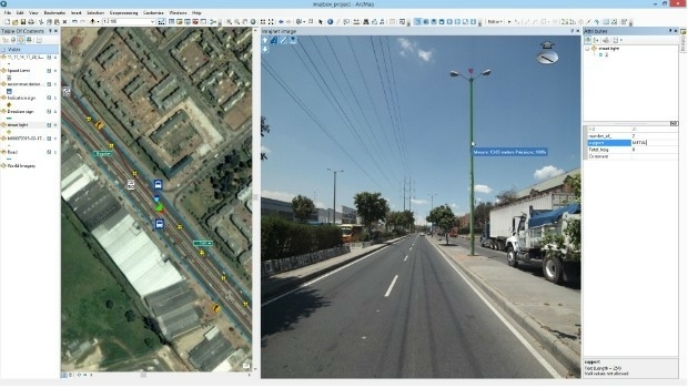
10th May 2017
Imajing provides ESRI users with online 3D enabled images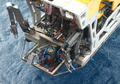
9th May 2017
2G Robotics and Sonardyne announce new collaboration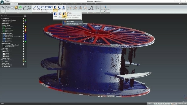
8th May 2017
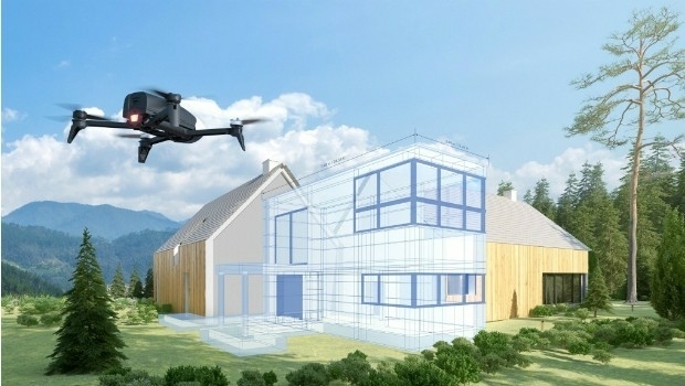
Parrot develops its commercial drone offer with end-to-end solutions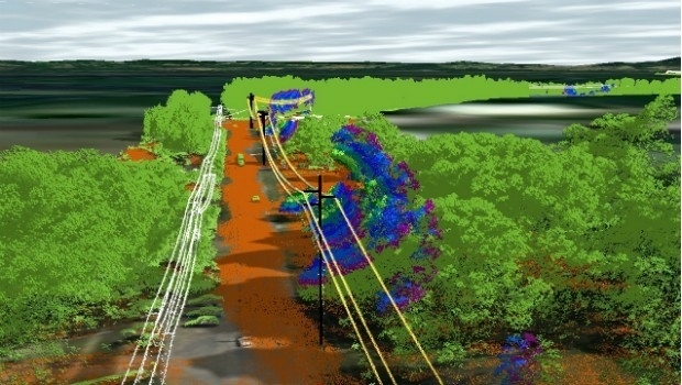
8th May 2017
Essential Energy use innovative technology to manage vegetation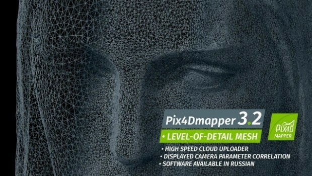
2nd May 2017
Pix4Dmapper 3.2 Now Generates Tiled Level-of-Detail (LoD) Mesh
2nd May 2017
3D Modeling Innovator Arithmetica Expands with Appointment of European Resellers for Pointfuse
28th April 2017
Creaform HandySCAN 3D scanner now certified by Airbus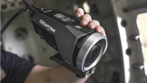

27th April 2017
Speaker Line-up Announced for Third British Information Modelling Event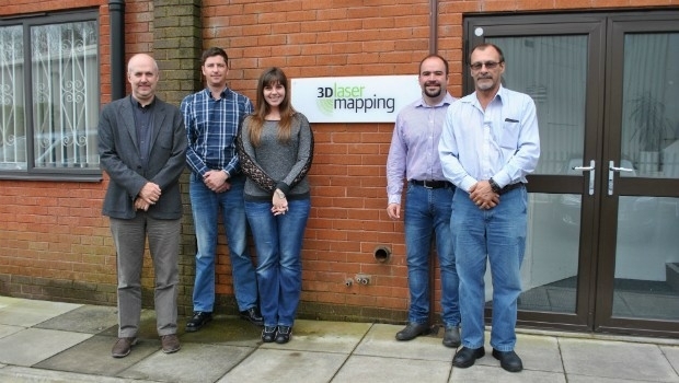
27th April 2017
3D Laser Mapping Mines Good Fortunes in Africa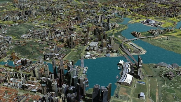

19th April 2017
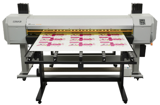
Mutoh to Introduce A2-size Flatbed LED UV Printer18th April 2017
3D Repo Cloud Platform adds Integrated Virtual Reality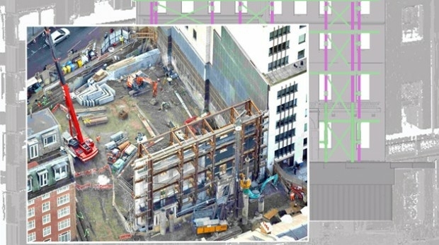
18th April 2017
Pointfuse Transforms Design of Construction in London18th April 2017
Trumbull Unmanned Using SimActive for Emergency Response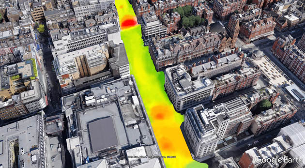
13th April 2017
EarthSense Show Trees are Most Cost Effective Way of Tackling Urban Air Pollution
12th April 2017
KPF Joined by HOK, OS and Unit9 for Third British Information Modelling Event
11th April 2017
National Trust Deploys Laser Survey Aircraft from Bluesky to Map in 3D.jpg)
9th April 2017
6 major construction companies adopt new BIM monitoring solution
7th April 2017
Arithmetica Reveals New Pointfuse Point Cloud 3D Modelling Software
6th April 2017
Bluesky LiDAR Maps Used to Monitor the Spread of Deadly Tree Disease4th April 2017
ClearEdge3D Releases VerityTM Construction Verification Software4th April 2017
Mutoh Launches ValueJet 1604WX - Budget 64" Dye Sub Printer