
Map your city, even from the comfort of your home
17th September 2020
Map your city, even from the comfort of your home

17th September 2020
Map your city, even from the comfort of your home



17th September 2020
The future of e-routing is (almost) here




17th September 2020
HIPP Awards Fugro Gulf St Vincent Charting Project for Australian Hydrographic Office17th September 2020
Nokia and StarHub conduct first live 5G non-standalone network trial in Singapore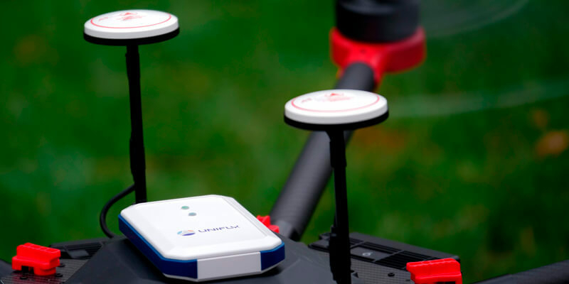
17th September 2020
India embraces BVLOS flights together with Unifly
17th September 2020
Terra Drone invests in Dutch Drone Solution provider Skytools
17th September 2020
Trimble Announces the Next Evolution of Its Flagship GNSS Solution
17th September 2020
Hexagon adds powerful visual positioning technology to survey-grade GNSS RTK rover
17th September 2020
Septentrio releases new GNSS products with unique built-in corrections
17th September 2020
Globalstar Launches New SPOT Gen4 Satellite Messenger in EMEA17th September 2020
Spectra Geospatial and Aplitop collaborate on tunneling survey solution

17th September 2020
FARO Hires Two Industry Veterans To Lead Its Global Hardware And Software R&D Teams
17th September 2020
Thiel Joins Esri Partner Advisory Council
17th September 2020
Airbus Endeavr Chief Nick Crew to Inspire 4 Earth Intelligence Satellite Services Board

17th September 2020
Bluesky Expands Global Business with Travis Mayne and Emma Smith Appointments
17th September 2020
HawkEye 360 Launches Global Radio Signal Monitoring Subscription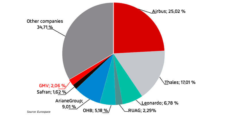
17th September 2020
GMV is Europe’s 7th biggest employer in the space sector
17th September 2020
Phase One Industrial and Acecore Announce Integration of Camera and Drone Technologies
17th September 2020
GPS III Space Vehicle 04 safely arrives in Florida17th September 2020
Drone and fast mapping for public safety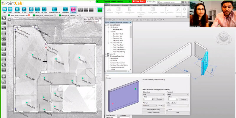
17th September 2020
Seiler Design Solutions Announces Partnership with PointCab17th September 2020
Telespazio will provide satellite connectivity for the Irish Marine Buoy Observation Network
17th September 2020
Sentinel-1C radar antenna has spread its wings for the first time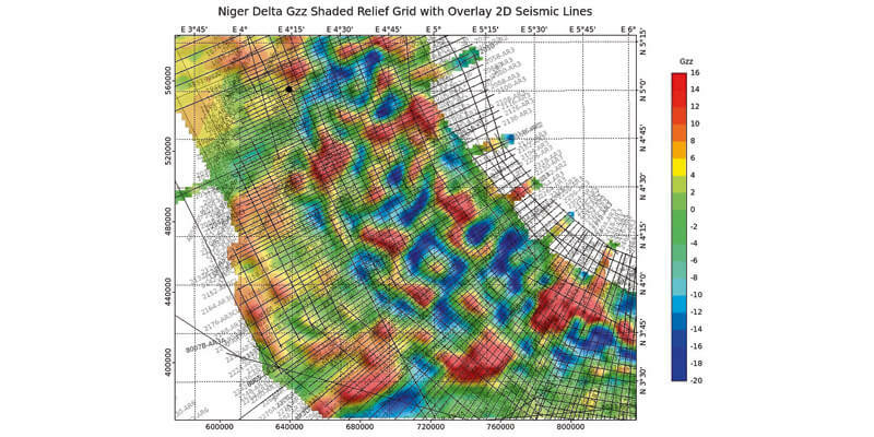
17th September 2020
CGG Multi-Physics Updates LCT Software with Innovations for Imaging Potential Field Data17th September 2020
Esri and United Nations Create COVID-19 Population Vulnerability Dashboard
17th September 2020
Atlas And Blacksky Harness Expanded Earth Observation Capabilities16th September 2020
BAE Systems Completes Acquisition of Military GPS Business
16th September 2020
Spain’s Andalusian fire authority fast-tracks deployment of Globalstar SPOT Gen3 satellite messengers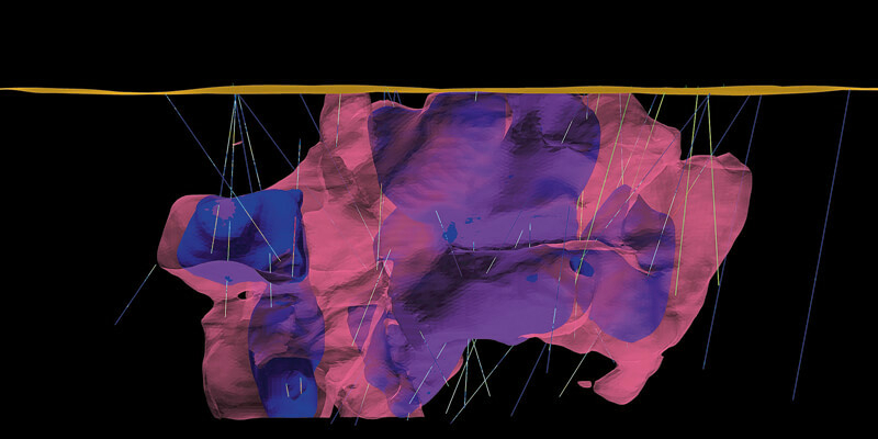
16th September 2020
Enhanced geology and mine design in Vulcan 2020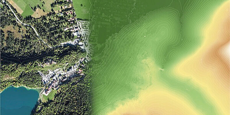

16th September 2020
OGC Welcomes Microsoft to the OGC Community as a Principal Member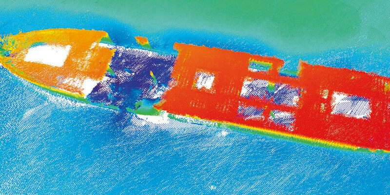
16th September 2020
TDI-Brooks Maps the Liberty Ship Reef Site George Vancouver
16th September 2020
Garmin Autoland Achieves EASA And FAA Certification On Daher TBM 940
16th September 2020
Parrot, active participant in French Drone regulation
16th September 2020
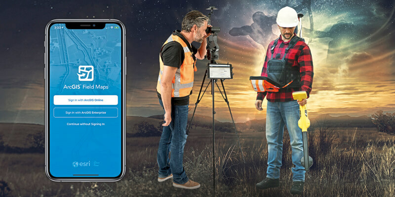
Eos Positioning Systems announces compatibility of Eos Laser Mapping and Eos Locate with Esri ArcGIS Field Maps (beta)16th September 2020
Riegl’s Market Presence Grows In Latin America