
Content


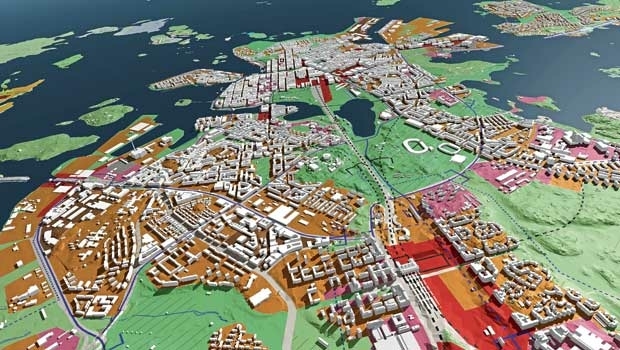
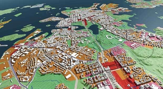
Helsinki – a role model for other cities
11th September 2017
Helsinki – a role model for other cities


INTERGEO 2017 UPDATE Exceeding expectations
11th September 2017
INTERGEO 2017 UPDATE Exceeding expectations

Robots: China breaks historic records in automation
11th September 2017
Robots: China breaks historic records in automation
KudanSLAM Software Is Now Ready for Autonomous Car, Drone, Robotics
11th September 2017
KudanSLAM Software Is Now Ready for Autonomous Car, Drone, Robotics
NAVITIME JAPAN launches “Drive Hokkaido!”App
11th September 2017
NAVITIME JAPAN launches “Drive Hokkaido!”App
Brive City Uses SuperSurv to Update Topographic Maps
11th September 2017
Brive City Uses SuperSurv to Update Topographic Maps
New rugged GPS receiver for marine surveyors
11th September 2017
New rugged GPS receiver for marine surveyors
Telematics for short-term hire vehicles - Masternaut launches the new M300 device
11th September 2017
Telematics for short-term hire vehicles - Masternaut launches the new M300 device
ARBOR Releases New Industrial Panel PCs with Intel® 6th Gen Skylake Platform
11th September 2017
ARBOR Releases New Industrial Panel PCs with Intel® 6th Gen Skylake Platform
Garmin® introduces all-in-one portable ADS-B and SiriusXM Aviation Reciever
11th September 2017
Garmin® introduces all-in-one portable ADS-B and SiriusXM Aviation Reciever
GSDI Small Grants Program Awards Announced
11th September 2017
GSDI Small Grants Program Awards Announced
Bentley Announces Finalists in 2017 “Be Inspired” Awards Program
11th September 2017
Bentley Announces Finalists in 2017 “Be Inspired” Awards Program
Juniper Systems Limited Opens New Office, Welcomes Birgit Krassnitzer
11th September 2017
Juniper Systems Limited Opens New Office, Welcomes Birgit Krassnitzer
VeloCloud Cloud-Delivered SD-WAN Wins “Fierce 15” Award from FierceWireless
11th September 2017
VeloCloud Cloud-Delivered SD-WAN Wins “Fierce 15” Award from FierceWireless

Planetek Italia the European Earth Observation Company of the Year 2017
11th September 2017
Planetek Italia the European Earth Observation Company of the Year 2017
“Faraday”, an ultra-low cost ride to Low Earth Orbit opportunity
11th September 2017
“Faraday”, an ultra-low cost ride to Low Earth Orbit opportunity
Taboola chooses Digital Element to enhance geolocation services
11th September 2017
Taboola chooses Digital Element to enhance geolocation services
Garmin receives EASA approval for new GTN 650/750 features
11th September 2017
Garmin receives EASA approval for new GTN 650/750 features
Skyline Software Systems Releases Photomesh 7.2 With Full Motion Video Capability
11th September 2017
Skyline Software Systems Releases Photomesh 7.2 With Full Motion Video Capability
TCarta Marine change the way dynamic environments are managed and monitored
11th September 2017
TCarta Marine change the way dynamic environments are managed and monitored
Pointfuse V3 Point Cloud Software Announced
11th September 2017
Pointfuse V3 Point Cloud Software Announced
Solar Orbiter on track to launch before next total solar eclipse
11th September 2017
Solar Orbiter on track to launch before next total solar eclipse
Skyline Software Systems Releases TerraExplorer For Web V7.0
11th September 2017
Skyline Software Systems Releases TerraExplorer For Web V7.0

Bluesky Laser Maps Help ArcHeritage Reveal Hidden Treasures for the National Trust
11th September 2017
Bluesky Laser Maps Help ArcHeritage Reveal Hidden Treasures for the National Trust
3D Repo’s VR Simulator Helps TRL Shape Future of Autonomous Vehicle Services
11th September 2017
3D Repo’s VR Simulator Helps TRL Shape Future of Autonomous Vehicle Services
Esri and Smart Dubai Sign Enterprise Agreement
11th September 2017
Esri and Smart Dubai Sign Enterprise Agreement
PCI Geomatics renews Education Alliance Agreement with Stellenbosch University
11th September 2017
PCI Geomatics renews Education Alliance Agreement with Stellenbosch University
GeoSLAM Unveils Predictions For Engineering’s Digital Future
11th September 2017
GeoSLAM Unveils Predictions For Engineering’s Digital Future
Shingle B: the online tool helping protect and monitor shingle beaches
11th September 2017
Shingle B: the online tool helping protect and monitor shingle beaches
Teledyne CARIS Releases New Version of Bathy DataBASE
11th September 2017
Teledyne CARIS Releases New Version of Bathy DataBASE
DroneMapper Chooses Global Mapper for UAV Imagery Processing
11th September 2017
DroneMapper Chooses Global Mapper for UAV Imagery Processing
Survey Highlights Councils’ Need to Encourage Online Reporting
11th September 2017
Survey Highlights Councils’ Need to Encourage Online Reporting
CompassDrone™ Announces CIRRUAS Drone Program for Public Safety Agencies
11th September 2017
CompassDrone™ Announces CIRRUAS Drone Program for Public Safety Agencies

Geoblink selects HERE to help the retail industry
11th September 2017
Geoblink selects HERE to help the retail industry
Efficient Management of Large Process Facilities
11th September 2017
Efficient Management of Large Process Facilities
Paragon Enhances Route Execution with Visibility of Sub-Contracted Vehicles
11th September 2017
Paragon Enhances Route Execution with Visibility of Sub-Contracted Vehicles
Dairy farmers to benefit from satellite data
11th September 2017
Dairy farmers to benefit from satellite data
GPS repeater technology ensures end-to-end visibility of cargo in transit
11th September 2017
GPS repeater technology ensures end-to-end visibility of cargo in transit
3G Vehicle cameras can cut premiums by more than half
11th September 2017
3G Vehicle cameras can cut premiums by more than half
Archive
