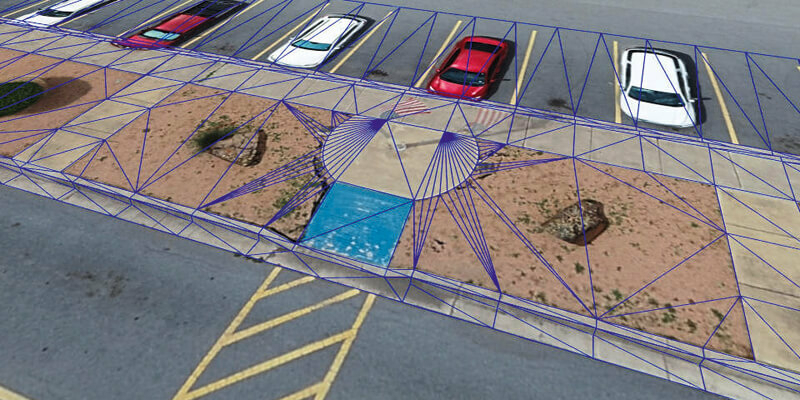
Virtual Surveyor Introduces Curb & Gutter Mapping in New Version of Drone Surveying Software
14th January 2021
Virtual Surveyor Introduces Curb & Gutter Mapping in New Version of Drone Surveying Software
14th January 2021
Virtual Surveyor Introduces Curb & Gutter Mapping in New Version of Drone Surveying Software14th January 2021
GAF AG and BKG intensify their cooperation regarding the provision of multi-source remote sensing data14th January 2021
GSSI Announces Distribution Agreement with InstroTek on PaveScan RDM Continuous Asphalt Density Gauge14th January 2021
USGIF White Paper: Geospatial Intelligence & AI/ML Progress During a Pandemic14th January 2021
UAVOS continues to Implement Its Unmanned Aircraft Conversion Program14th January 2021
Swift Navigation’s Production-Grade SSR Service is Now Available Across Two Continents14th January 2021
GHGSat Reports Smallest Methane Emission Ever Detected from Space with Microsatellite Developed by Space Flight Laboratory (SFL)14th January 2021
TCarta Develops AI-Based Commercial Bathymetric Mapping Technologies with National Science Foundation Grant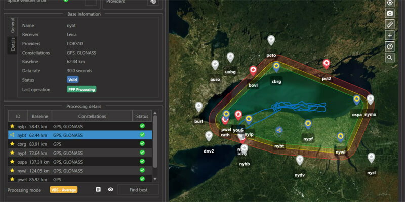
14th January 2021
SBG Systems to release the virtual base station feature in Qinertia, its in-house post-processing software
14th January 2021
EGNOS enabled PPUs in the Port of Seville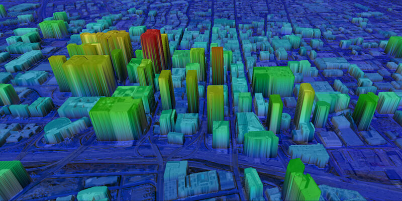
14th January 2021
UP42 Partners with Intermap to Bring High-Resolution Elevation Data to UP42’s Geospatial Marketplace14th January 2021
GNSS-enabled altimeter helps improve situational awareness, safety decisions in freefall14th January 2021
HERE integrates what3words into in-car navigation feature14th January 2021
Parrot Announces Partnership with FoxFury Lighting Solutions14th January 2021
Terra Cover Launches ReaLSAT as New Surface Water Monitoring Service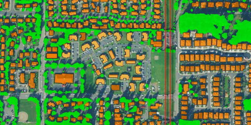
14th January 2021
AI Startup EarthDefine Announces Expansion of its Building Footprint Geocoding and On-Demand Property Information14th January 2021
Shell Deepwater Selects Bentley’s iTwin Platform for Project Delivery14th January 2021
East View Geospatial Partners with Capella Space as Early Reseller in North America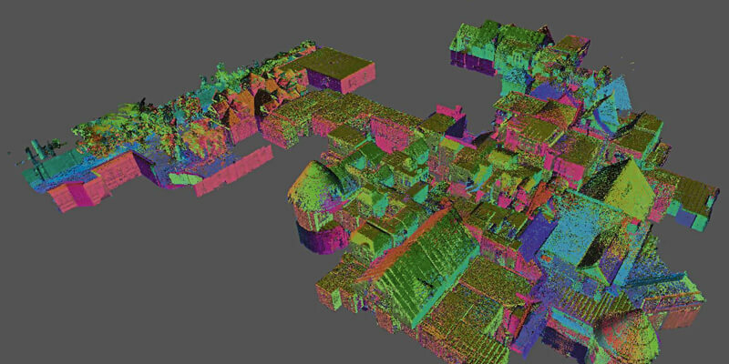
14th January 2021
GeoSLAM Completes Spook-Tacular Scanning of Californian Landmark14th January 2021
Swedish Space Corporation to launch satellites from Esrange Space Center
14th January 2021
Pix4D launches new ground image capture app for 3D modelling with the iPad Pro and iPhone 12 Pro
14th January 2021
European Border and Coast Guard Agency (Frontex) selects Airbus and its partner IAI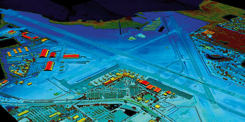
14th January 2021
VeriDaaS Plans Statewide California LiDAR Mapping Project in Spring 2021 for Public and Private Customers14th January 2021
Esri Announces Launch of ArcGIS Field Maps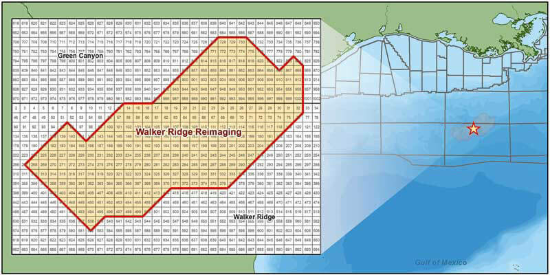
14th January 2021
CGG Launches Walker Ridge Reimaging Program in the Gulf of Mexico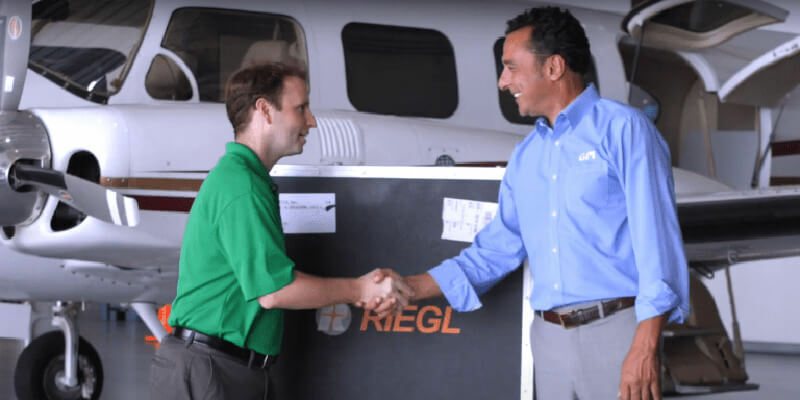
14th January 2021
GPI And Riegl: From The Ground To The Skies14th January 2021
Aggregion opens new opportunities for secure collaboration when working with data14th January 2021
3D PluraView Monitor product family expanded – new 22" Full-HD Model14th January 2021
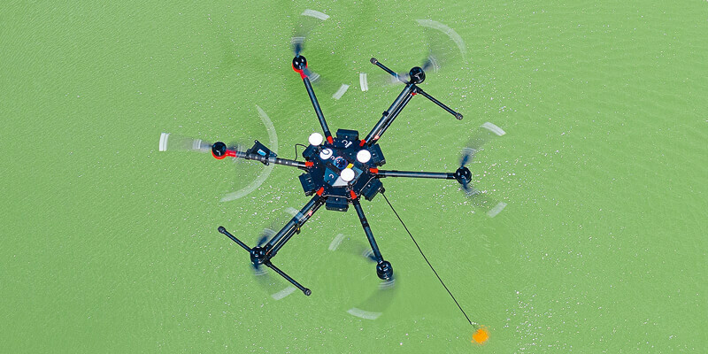
Introducing Airwards: a unifying global accreditation scheme championing ground-breaking drone work




13th January 2021
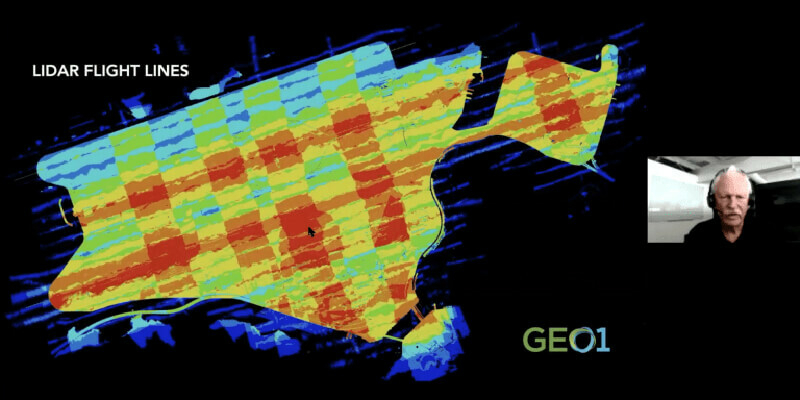
Acquiring Data for A Digital Twin of One Of The World’s Busiest Airports13th January 2021
Streamax Technology Secures Multi-Million Pound Video Telematics Hardware Deal With Visiontrack
13th January 2021
Livox Releases Two New Solutions For Long Range and Short Range Detection13th January 2021
DJI Unveils First Integrated Lidar Drone Solution and A Powerful Full-Frame Camera Payload For Aerial Surveying13th January 2021
FARO Launches New Webshare Software ‘Enterprise’ Feature13th January 2021
Leica Geosystems innovates automated total station portfolio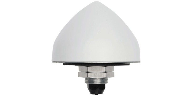
13th January 2021
Tallymatics Introduces the TW5382 Smart GNSS Antenna for High Accuracy13th January 2021
Septentrio announces open source software and hardware for autonomous applications with GNSS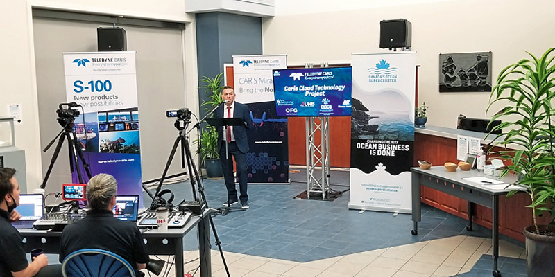
13th January 2021
Teledyne CARIS receives Canada’s Ocean Supercluster award
13th January 2021
Bentley Systems announces appointments of Chief Marketing Officer13th January 2021
USGIF Board of Directors Appoints New CEO13th January 2021
Ordnance Survey appoints Carly Morris as Head of Geovation13th January 2021
Juniper Systems Limited Expands Team in EMEA, India