Share
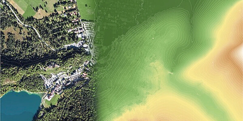
Vexcel Imaging announces the release of UltraMap version 5.0, the latest update of its all-in-one aerial photogrammetry software featuring comprehensive DTM generation and full integration of Ortho Production in UltraMap Studio. With the introduction of a completely new Digital Terrain Model (DTM) algorithm based on automatic semantic image segmentation and intelligent filtering, UltraMap 5.0 now generates comprehensive DSMs and DTMs for export at unprecedented quality. Additionally, several new features have been implemented to facilitate and speed up the data production process. From simultaneous DSM and DTM editing in one interface and simple re-processing for ortho products, to the full integration of Ortho Production in UltraMap Studio and new quality control tools like visualization of non-ground objects: Customers gain the best possible insight and control over their data throughout the entire value chain to create 3D spatial data products that meet the highest photogrammetric standards. www.vexcel-imaging.com


