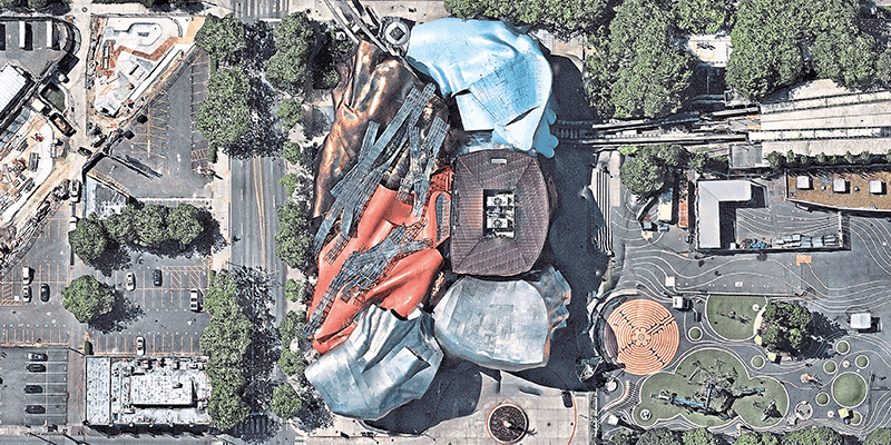
Nearmap’s high-resolution aerial imagery of major urban areas in the United States, Canada, Australia, and New Zealand will soon be available through UP42. The initial offering will include the Nearmap vertical imagery, which is updated multiple times each year at 5.5- to 7.5-cm (2.2” to 3”) spatial resolution for more over 1740 urban areas in the US and over 100 in Australia. With global headquarters in Sydney, Australia, vertical imagery from Nearmap provides an orthogonal imagery base layer that offers consistent clarity, precision, and spatial detail for cities and their surrounding areas. In the United States alone, coverage includes more than 80% of its population with 308,000 unique square miles – including some of the most rapidly growing municipalities – surveyed each year. www.up42.com


