Share
‘Our vision is that by 2025 the UK will have a coherent national location data framework.’ So says the Geospatial Commission in a recently-published policy paper. Here, we summarise the measures it proposes to do just that
Although its publication was overshadowed by the sombre news that the COVID-19 death toll had passed the 42,000 mark, the 71-page document1 sets out an ambitious roadmap based on a detailed market study and the 200 responses made to its 2018 Call for Evidence.2 In doing so, it reprises the Commission’s work to date and goes on to identify location data opportunities, trends and challenges for the UK.
In launching the initiative at the Digital Leaders Online Summit in mid-June3, Commission chair and self-confessed data geek Sir Andrew Dilnot was joined by fellow board members Thalia Baldwin and Kru Desai to describe what promises to be “A tremendous, innovative and enjoyable ride over the next five years.”
For those who recollect earlier frustrated attempts to introduce a national strategy, Sir Andrew offered cause for optimism. “What is different this time is that a great deal of thought was given to structures that would enable our public sector partners work together and have a voice in central government. It is for this reason that the Commission is located within the Cabinet Office, giving us a degree of independence yet having direct access to more of the levers of government.” The strategy’s emphasis on ‘location’ as opposed to ‘geospatial’ was, he said, a deliberate choice … one intended to make the subject comprehensible to a wider public audience.
The policy paper kicks-off by pointing to ‘the complex and fractured policy landscape surrounding the UK’s geospatial data assets’, and, as Minister of State Lord True, points out in his opening remarks, ‘You can’t use an old map to explore a new world.’
In accepting that its transformative vision will take time – and a coordinated approach – to materialise, Sir Andrew Dilnot identifies four priorities for its ongoing work, and the measures it proposes to:
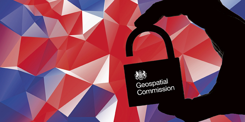
- Promote and safeguard the use of location data.
- Improve access to better location data.
- Enhance capabilities, skills and awareness,
- Enable innovation.
Location data already has a significant impact on our lives, says Sir Andrew in his introduction. ‘Better location data will help us to make more informed decisions on everything from where to build new schools and hospitals, to how to manage precious resources such as land and energy, creating economic, social and environmental value.’
To ensure its approach is compatible with international best practice, the Commission’s work will be based on the UN Integrated Geospatial Information Framework (IGIF).5 This is focused on integrating location information with other types of data to deal with societal and environmental issues. The UK’s geospatial expertise will, says its policy paper, also actively continue to support the UN Sustainable Development Goals.
In terms of opportunity, the Commission identifies nine areas of potential across a range of UK industry sectors and public services (see illustration). These could have an economic benefit to the economy of up to £11 billion per year, it says while, more immediately, it could form the basis of innovations and collaborations that help tackle the Covid-19 threat and help manage future dangers.
Underpinning these opportunities will be half a dozen technology trends that that are most likely to affect the use of location data. These include the proliferation of cheap location sensors, increased connectivity, cloud computing and the rise of Artificial Intelligence.
In delivering its programme, the Commission will adopt an open and collaborative approach; prioritise action in areas of greatest opportunity and impact; and move in an iterative way to learn from pilot projects, monitor innovation and adopt new ideas.
A collective and collaborative effort will be required to achieve its goals says the Commission, which also calls for flexibility as new technologies, ideas and pilot project outcomes call for fresh thinking.
To keep track of progress, the Commission will publish annual plans, as well as a mid-point refresh of its strategy. This will include an up-to-date perspective on how its strategy is aligned with the core location data held by its six public sector partners (the Geo6).6
1. ‘Unlocking the power of location. The UK’s Geospatial Strategy, 2020 to 2025.’ https://www.gov.uk/government/publications/unlocking-the-power-of-locationthe-uks-geospatial-strategy)
2. https://assets.publishing.serv...
3. https://virtual.digileaders.co...
4. https://www.gov.uk/government/...
6. The British Geological Survey (BGS). The Coal Authority. The UK Hydrographic Office. HM Land Registry (HMLR). Ordnance Survey. The Valuation Office Agency (VOA)


