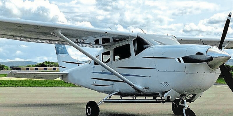
Arrowhawk Imaging selected an UltraCam Eagle Mark 3 aerial camera system with a 100-millimeter (mm) lens as its first airborne imaging system. Since purchasing the sensor from Vexcel Imaging in 2019 and installing the unit in a Cessna 206 single engine aircraft, the mapping company has successfully completed numerous projects. The UltraCam Eagle is capable of capturing 10-centimeter (cm) GSD at 5,000 meters (m) above the ground. At this high elevation, the 450-Megapixel footprint collects more data in less time, shortening the hours needed for collection and optimizing flying windows. The Thrasher Group is a well-established architecture, engineering, and field service provider that handles all image processing and value-added product development for Arrowhawk. Using UltraMap, Vexcel’s photogrammetric post- processing software, the team rapidly generates quality data products from every UltraCam flight. www.vexcel-imaging.com


