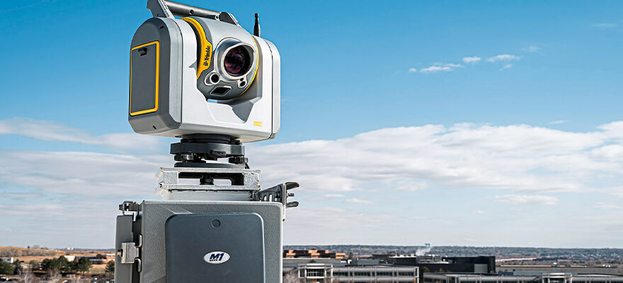
Trimble introduced the latest version of its core geospatial automated monitoring software—Trimble 4D Control version 6.3. The software provides automated movement detection to enable informed decisions about infrastructure for surveying, construction and monitoring professionals. Version 6.3 adds new capabilities for the software to work in combination with the Trimble SX Series Scanning Total Stations’ advanced imaging and measurement capabilities. This version also supports vibration and weather station sensors and a streamlined workflow between the Trimble Access Monitoring Module in the field with the new T4D Access Edition used in the office. Enhancements made to Trimble’s core geospatial monitoring software provide increased accuracy; simplified sensor data collection, reporting and alarms; and make it possible to seamlessly move from semi-automated to fully automated monitoring on a project. www.trimble.com


