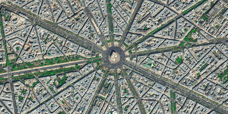
TomTom (TOM2), the geolocation technology specialist, announced that it has expanded its agreement with Maxar Technologies, a provider of comprehensive space solutions and secure, precise, geospatial intelligence, to integrate high-resolution, global satellite imagery into its product portfolio. TomTom will leverage Maxar’s Vivid imagery base maps to provide its customers with a more comprehensive visualization solution. TomTom serves several industries with its maps, data analytics, navigation, traffic information and more. The partnership with Maxar gives TomTom the capability to offer its clients a photorealistic map that is representative of the world around them. In addition, TomTom’s Automotive and Enterprise software platform customers can offer their end users satellite imagery and give them more context of potential challenges on the ground. www.tomtom.com


