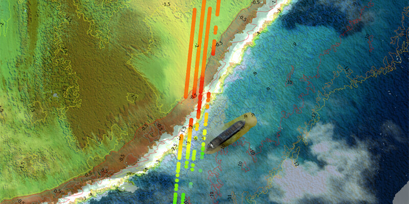
TCarta Marine, a global provider of hydrospatial products, has announced development of new Machine Learning-based bathymetric mapping technologies – including creation of two software packages and commercial application of NASA’s ICESat-2 satellite – with funding from the National Science Foundation (NSF). The commercial bathymetric mapping projects relate to oil spill management, oil & gas exploration and production, coastal infrastructure engineering, environmental monitoring, and geospatial intelligence (GEOINT) activities. Customers include private-sector organizations as well as numerous international government agencies. www.tcarta.com


