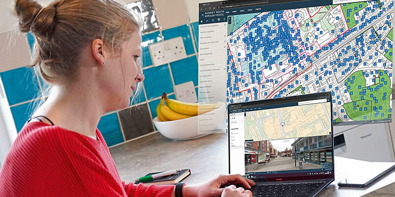
Surrey Heath Borough Council, UK, has launched a new interactive mapping portal for public consultation on its Draft Local Plan. Powered by XMAP, the new generation GIS platform, the online gateway allows visitors to search by address, or by zooming in and out on specific locations, and select the type of information they want to display from a drop-down list. Feedback on the plan is automatically sent to the Council with pre-filled forms relating to the information displayed and selected. The Draft Surrey Heath Local Plan sets out a vision for how the borough will develop as a place up to 2038. The Plan looks at future needs and will play an important role in shaping how towns and villages develop and will help protect and enhance the natural environment, develop the local economy, improve leisure and visitor facilities, and support more sustainable forms of travel. www.xmap.geoxphere.com


