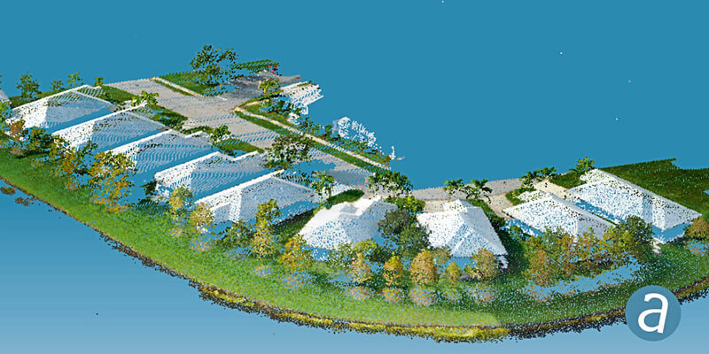
SimActive, a developer of photogrammetry software, announced the integration of its Correlator3D product into LiDAR systems for drones developed by LiDAR USA. Possible configurations include two side-by-side cameras that allow matching the footprint of the LiDAR sensor, a particularly useful setup for corridor mapping. SimActive’s Correlator3D software is used for automatically registering the imagery with the LiDAR data. Once a perfect alignment has been achieved, the point clouds are colorized using the photos. www.simactive.com


