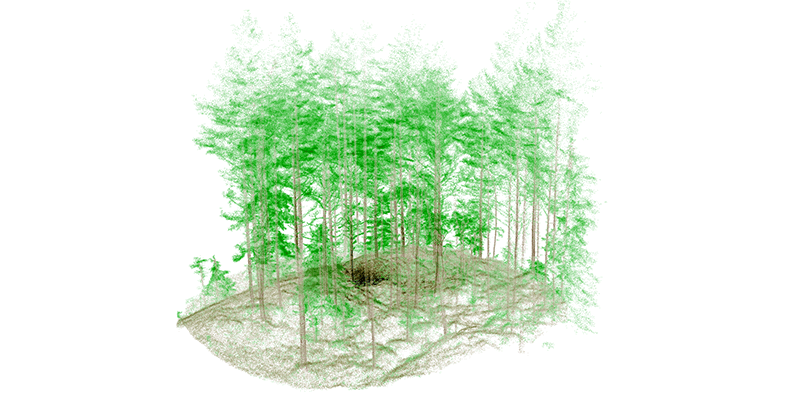
GeoSLAMs LiDAR technology is mapping forests as part of the Centre for Research-based Innovation (SFI) SmartForest in Ås, Norway. SFI SmartForest aspires to put the Norwegian forestry sector at the forefront of technological advances and Industry 4.0. Advancements in digital technologies and industry, trends toward an interoperable future, with high collaboration, a free flow of information, and real-time communication. Led by The Norwegian Institute of Bioeconomy Research (NIBIO), the SFI SmartForest aims to bring industry 4.0 to the sector over an 8-year period. The primary goal is to improve the efficiency of Norwegian forestry by enabling a digital transformation, using innovative technologies. Focusing on silviculture, forest operations, wood supply, and the overall digital information flow, SmartForest is investing in sensible enabling technologies such as handheld LiDAR sensors, to help achieve its goals. One such LiDAR solution is the GeoSLAMZEB Horizon laser scanner. www.geoslam.com


