Share
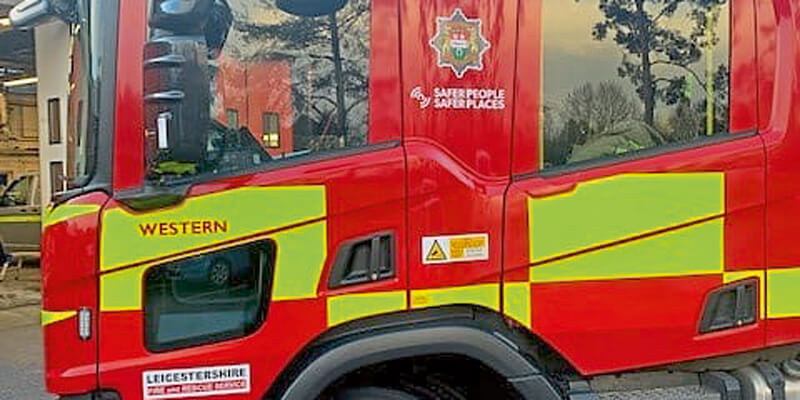
Leicestershire Fire and Rescue Service (LFRS) has introduced Cadcorp SIS WebMap as their new corporate web mapping system. The Service has named their new system FireMap, which provides easy access to Ordnance Survey maps and to data such as incidents and hydrant locations. As it develops, FireMap will provide easy access to other frontline risk information and plans. LFRS already use Cadcorp GIS software as part of its Workload Modelling, Fire Hydrant Management, Incident Recording System, and mobile devices. FireMap allows the data and analysis from these applications to be shared corporately throughout the Service. www.cadcorp.com


