Share
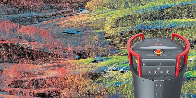
Leica Geosystems, part of Hexagon, introduced the Leica TerrainMapper-2, the latest solution in the company’s hybrid sensor road map that integrates LiDAR and image capture technology in airborne sensors and allows users to collect more data per flight. Developed to execute complex and challenging regional mapping projects, the TerrainMapper-2 incorporates new imaging technology and reduces system complexity for higher efficiency. The upgrade of the TerrainMapper-2 to an integrated system controller and storage makes it easy to install in any survey aircraft by eliminating the additional equipment rack. The system also offers a seamless upgrade path to the Leica CityMapper-2, the markets only oblique imaging and LiDAR hybrid sensor.
www.leica-geosystems.com


