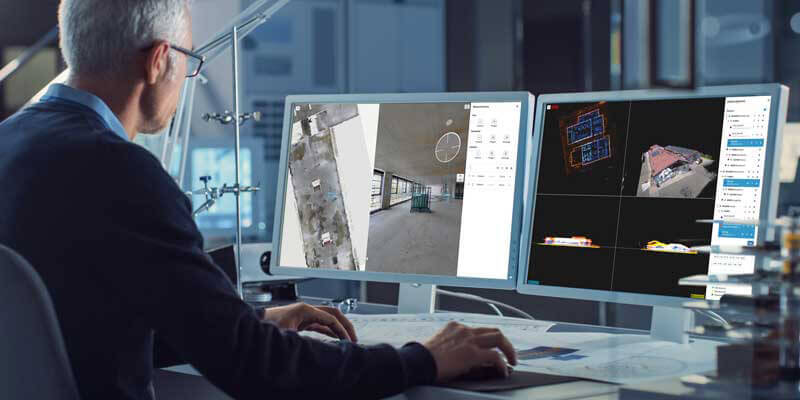
NavVis, an innovator in mobile mapping and reality capture, announced the launch of NavVis IVION Core. Previously known as NavVis IndoorViewer, NavVis IVION Core is a reality capture platform where you can manage 3D scans with intuitive tools for creation, collaboration, and publication. NavVis IVION Core makes mobile mapping workflows more efficient, speeds up model creation and delivery, and adds value to data. The enhancements in NavVis IVION Core are expressly designed to support laser scanning service providers, surveyors, and AEC Companies. These include multi-site functionality, updated user management, and site coordinate systems for survey-grade geo-registration of data. www.navvis.com


