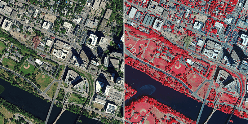
Hexagon’s Geosystems division announced that the HxGN Content Programwill refresh aerial data of eight U.S. states at 6-inch (15-centimeter) resolution for the 2023 collection season, including Texas, Washington, Florida, South Carolina, Virginia, Maine, Montana and Idaho. Additional states may be added as the season progresses. Most notably, Texas will be refreshed as part of Hexagon’s ongoing partnership with the State of Texas and the Texas Natural Resources Information System (TNRIS), a division of the Texas Water Development Board. The four-year program emerged from the HxGN Content Program’s Content+ initiative, a cost-effective licensing model for state and local governments that offers the flexibility to obtain single-season aerial data to their desired specifications. The refreshed aerial data will be available starting in Q4 of 2023, adding 763,902 square miles (1,789,497 square kilometres) of high-resolution orthoimagery, stereo imagery and imageryderived digital surface models to the program. www.hexagon.com


