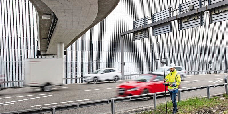
Hexagon AB introduced the Leica GS18 I, a versatile, survey-grade GNSS RTK rover so powerful it enables you to measure what you see. It comes equipped with all the innovative functionality of the Leica GS18 T – Hexagon’s calibration-free, tilt-compensating GNSS solution immune to magnetic disturbances – plus the power of survey-grade visual positioning. Through sensor fusion of satellite (GNSS), motion (IMU), and image (camera) technology, the Leica GS18 I is the first GNSS RTK rover of its kind to enable the measurement of points from images. The ability to capture and measure sites via images goes far beyond the advantages of the GS18 T, which introduced the quick and convenient ability to measure points in spaces that cannot be measured with vertical poles, such as building corners, walls, and points underneath obstacles (e.g., cars). www.hexagon.com


