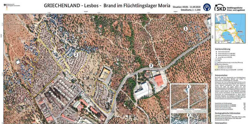
GAF AG, one of the largest European providers of geographic information services with a focus on earth observation, has won an international tendering process issued by the German Federal Agency for Cartography and Geodesy (BKG) for the provision of remote sensing data. The framework agreement concluded on that basis includes consulting services and the granting of exclusive access to the BKG and its users to high-resolution and very high-resolution optical satellite images and radar images. With its satellite-based crisis and situation service, the BKG makes an indispensable contribution to providing straightforward and rapidly-prepared information products derived from geodata and remote sensing to all the federal institutions. This enables a rapid response in the case of security-relevant and critical challenges. www.gaf.de


