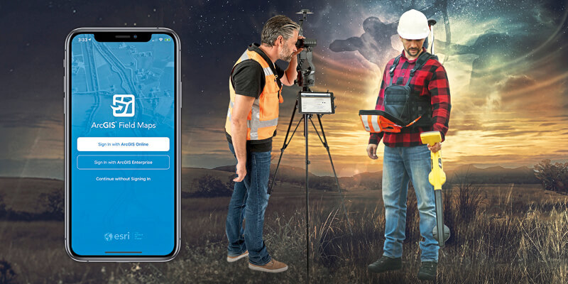
Eos Positioning Systems (Eos), the Canadian manufacturer of the popular high-accuracy Arrow Series GNSS receivers, has announced the compatibility of two popular Eos field data-collection solutions with the Esri ArcGIS Field Maps beta. Eos Locate for ArcGIS is the world’s first real-time, survey-grade solution for mapping underground utilities with ArcGIS field apps. Eos Laser Mapping for ArcGIS is the world’s first laser-offset solution for mapping assets from afar with high accuracy, without having to physically occupy them. Customers transitioning to Field Maps from Collector will be able to take advantage of additional capabilities (e.g., smart forms, markups) without having to deploy new training or workflows, according to Esri Program Manager Doug Morgenthaler.
www.eos-gnss.com


