Share
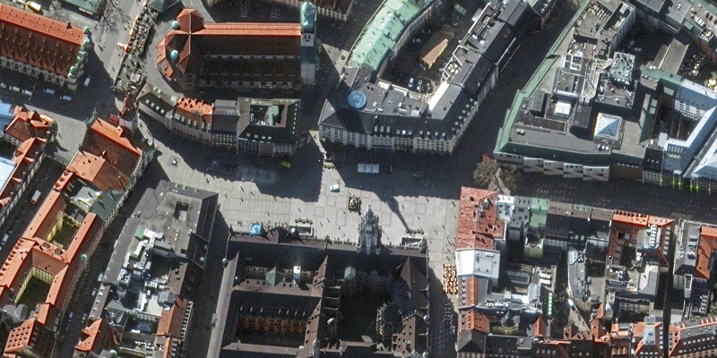
The coronavirus pandemic has emptied the streets of the world and is filling our hospitals. The best way to visualise its effects – and our responses – is with geospatial imagery
By GeoConnexion - 7th May 2020 - 09:48
The coronavirus pandemic has emptied the streets of the world and is filling our hospitals. The best way to visualise its effects – and our responses – is with geospatial imagery


