Share
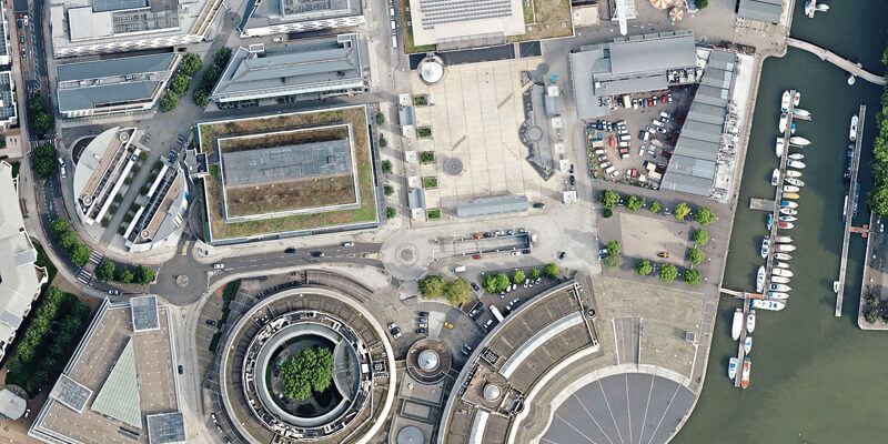
Aerial mapping company Bluesky International has capitalised on the recent fine weather and clear airspace to achieve an unprecedented start to the 2020 survey season. Bluesky has already captured in excess of 130,000 square kilometres of imagery updates across the UK and Ireland. Covering nearly half the total area of the UK this total includes ultra-high (5cm) resolution data for a number of cities including Central London, Manchester, Newcastle, Leicester and Derby. This impressive flying record, completed in just two months of the main flying season, also includes the completion of their first full coverage layer of the Republic of Ireland. This makes Bluesky the only company to have full coverage of the Republic of Ireland, England, Scotland and Wales. The successful start to the 2020 flying season will see more than 130,000 square kilometres of aerial imagery at resolutions, ranging from 25 centimetre to highly detailed 5 centimetre, added to Bluesky’s nationwide archive of aerial photography and derived products. www.bluesky-world.com


