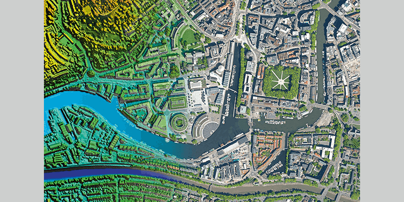
Bluesky International has announced a partnership with Berlin-based UP42, a geospatial developer platform and marketplace. The recently signed agreement will see Bluesky supply its accurate, high-resolution aerial imagery covering Great Britain and the Republic of Ireland to UP42 along with other geospatial datasets. UP42’s platform provides its customers with everything they need to access geospatial data from providers as well as create and embed Earth observation insights into applications. Since its launch in 2019, the start-up has grown quickly and the recent agreement with UK-based Bluesky brings additional, high-quality, up-to-date and accurate geospatial products to its customer offering. As part of the agreement, Bluesky will provide its aerial imagery, height and terrain datasets, its unique National Tree Map, and ultra-high resolution city imagery, both vertical and oblique. www.bluesky-world.com


