Share
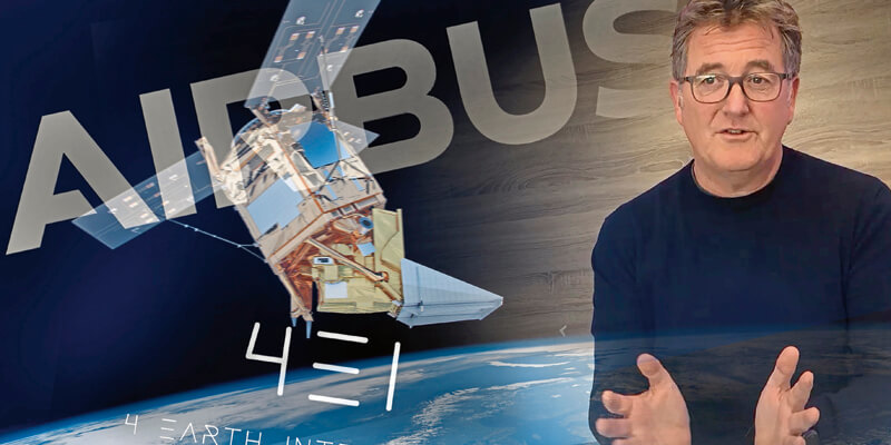
Earth observation company 4 Earth Intelligence (4EI) is partnering with Airbus Defence and Space to release the power of Airbus very high resolution satellite imagery for applications such as climate resilience, air quality monitoring and environmental mapping. As a Diamond Reseller, 4EI has privileged access to the Airbus OneAtlas Platform, which gathers multi-source, multi-resolution data and value-added layers. Under the partnership, 4EI will derive a series of earth observation products and services using a wide range of satellite data including the daily updated multi-resolution and premium optical satellite data (Living Library), the curated global imagery layer updated annually (Basemap) and the WorldDEM dataset, for 3D analytics and rendering. www.4earthintelligence.com


