Share
Nick Rainsley explains how TerraMap is revolutionising the way in which soil nutrient mapping is currently undertaken in the UK – and setting a new standard for accuracy in precision agriculture
Today’s precision farming demands ever-greater accuracy, not least in measuring and mapping soil properties, but UK growers have lacked access to a high definition soil scanning system – until now.
Launched last year, TerraMap from Hutchinsons, one of Britain’s leading crop production specialists, uses gamma-ray detection technology to deliver resolutions of over 800 reference points/ha. The result: high-definition mapping of all common nutrient properties, pH, soil texture, organic matter and CEC, as well as elevation and plant-available water.
“With a growing level of interest in soils, the availability of TerraMap comes at the perfect time for farmers looking for that next level of accuracy in understanding their soils,” says Oliver Wood, Precision Technology Manager at Hutchinsons
Scanning technology
Manufactured by Canadian company SoilOptix, TerraMap’s scanning technology is based on a scaled-down version of airborne sensors originally employed in mineral prospecting, and since used successfully in other countries.
“We had been looking for a new method of mapping soils that delivers more accurate and repeatable results, and which can also leverage the multi-layer analysis functions within Omnia, our precision agronomy service offering,” explains Wood.
TerraMap is now available from Hutchinsons in a standard or premium service offer. The standard service measures nine criteria: P, K, Mg, pH and % of clay, sand, silt, texture and elevation. The premium service additionally measures calcium, manganese, boron, copper, molybdenum, iron, zinc, sulphur, OM, CEC and plant-available water, delivering 21 layers of data for each field.
Woods adds that the results from TerraMap are used to create maps within the Omnia system which can then be overlaid with additional field information such as black-grass, yields and so on, to create the most accurate, consistent and detailed variable rate plans.
Infield data collection
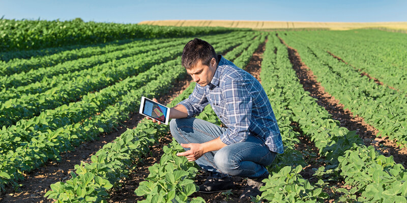
The infield process of collecting the data is carried out in two very simple steps: scanning, by driving a light weight all-terrain vehicle fitted with the sensor over a field, and then taking soil samples to allow for each scan to be used to create the individual map layers. The entirely passive sensor measures naturally-emitted isotopes, such as Caesium and Potassium, that are very stable due to their long half-lives.
Significantly, this methodology is not affected by soil moisture, compaction, crop cover or cultivation state. “It means that there are very few limitations as to when TerraMap can be used – offering a much wider operating window compared to other soil scanning systems,” says Wood. He goes on to add that the consistency and reliability of the results has been well-proven. “We have taken satellite imagery of fields that showed up areas of soil differences quite clearly, and when we overlaid this with the texture maps created by TerraMap they were identical. This has been confirmed by in-field ground truthing across a number of sites. We have also tested the results between seasons and over different cultivations, and they have remained consistent.”
Answering crop production challenges
Earlier this spring, images taken from a drone flown over a field in Alnwick, Northumberland, and where Hutchinsons conducts regional trials, clearly identified an area that was a lighter green than the rest of the field – indicating an area of poorer, thinner crop.
The company’s digital farming manager, Lewis McKerrow, explains how he used TerraMap to investigate what could be causing this particular area of poorer performing crop.
“We ran the scanner over the field – already mapped in Omnia - and, in one pass, had all the information we needed on the soils - all 21 layers! We then added into Omnia a satellite biomass (NDVI) map taken on the 8 May– there were clear areas of darker and lighter green, indicating areas of thicker and lighter crop, which correlated with the drone images. Over this we added in the sand layer measurements from the TerraMap scanning, as well as silt and clay maps.”
The results, he says, were fascinating: “They completely correlated with the NDVI biomass map! in the poorer performing areas of the field, there were higher levels of sand and silt and lower amounts of clay in the soil, and vice versa in the greener more productive part of the field. “
McKerrow knew that soils with a high sand and silt content and low clay content tend to be drier –but could it be proved that this was actually affecting crop growth? “Yes! TerraMap provided us with a plant available water map, and the results of this directly correlated with the soil texture maps, NDVI maps and drone images. There was more plant available water in the higher clay percentage areas of the field, but where sand and silt were predominant, there was lower plant available water. So we were able to confirm that the poorer performing areas of the field had less plant available water.”
Next step
“For this exercise we just looked at the textural aspects of the soils and what effects these might be the having on crop production,” says McKerrow. But he is keen to take this a step further and investigate the nutritional aspects of the field in more detail. He points out how this approach underlines the importance of being able to use the data that precision technology delivers to improve productivity and, ultimately, profitability. “By identifying why certain areas in fields aren’t performing as well as others, growers and agronomists can make informed decisions about how to manage them going forward.”
For the exercise described here, McKerrow suggests two options for improving productivity: “Evening-up the plant populations across the field by using variable rate drilling to increase the seed rate on the poorer area. Or alternatively, accept the variation and change the way the crop is managed, e.g. by redistributing nitrogen – using less on the poorer area and more on the better performing parts of the field.”
Nick Rainsley is Head of Marketing at Hutchinsons (https://www.hlhltd.co.uk/), one of Britain’s leading national agricultural and horticultural input advice and supply companies. Headquartered in Wisbech, Cambridgeshire, the business employs more than 440 staff nationwide.


