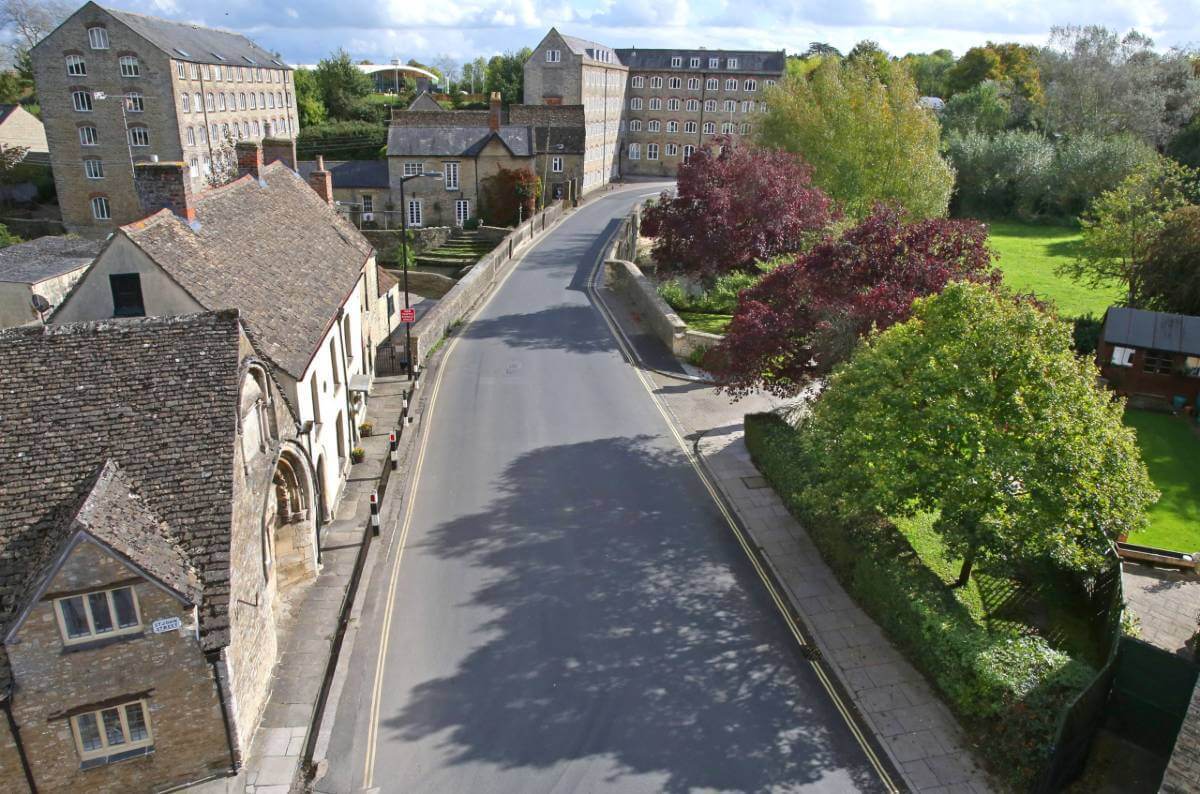
Wiltshire Council is using data from a map which details the location and attributes of more than 300 million trees to improve the management of its trees in parks and woodlands, alongside roads and on other Council owned land.
The Bluesky National Tree Map was originally purchased to inform a countywide tree audit, now used on a daily basis the data is a valuable resource when responding to enquiries and or complaints from residents allowing officers to identify and locate individual trees and make informed decisions from the desktop.
Created from high resolution aerial photography, terrain and surface height data and colour infrared imagery the National Tree Map accurately records the location, height and canopy for trees in the UK over 3 metres in height.
“The Bluesky National Tree map data gives us an accurate and consistent measurement of how many trees we are responsible for which has enabled us to put together a comprehensive tree management strategy,” commented Rich Murphy, Tree and Woodland Officer at Wiltshire Council. “Knowing where the trees are located on our owned land allows us to concentrate our limited resources to where the trees are in terms of undertaking base line surveys, it also allows us to work out where our trees are in terms of maintenance and enquiries from the public.”
Wiltshire Council accesses the Bluesky data via its online GIS map portal where it can be viewed and queried by teams across the Council and overlaid with additional data layers including ownership maps and maintenance records. The data helps officers locate specific trees and identify if they fall within the Council remit and determine the size and extent of a trees potential impact without the need for resource intensive site visits.
Bluesky’s National Tree Map is created using innovative algorithms and image processing techniques in combination with the most up to date and detailed aerial photography. In addition to the three vector map layers; Crown Polygons, Idealised Crowns and Height Points, the Bluesky National Tree Map also includes an attribute table including unique identification for each crown feature, height attributes and area calculations.
The data is available in a range of GIS ready formats on Bluesky’s online Mapshop alongside the most up to date aerial photography, accurate height data and 3D building models.

Subscribe to our newsletter
Stay updated on the latest technology, innovation product arrivals and exciting offers to your inbox.
Newsletter

TD_TDID_INTREX-800x400.jpg)