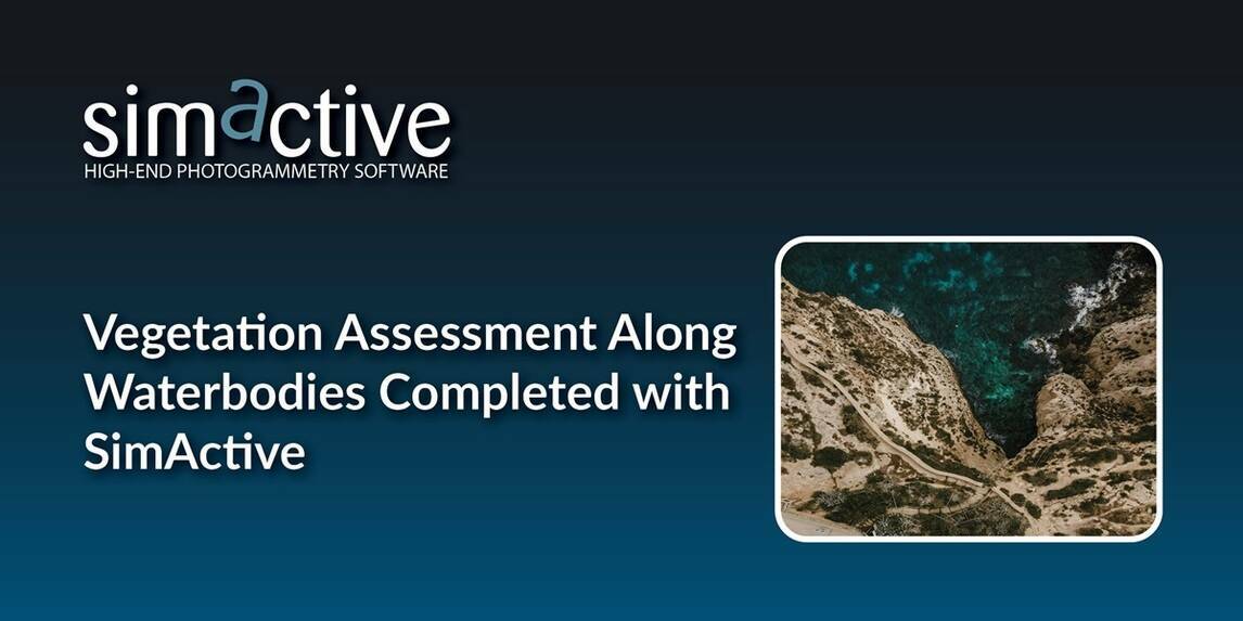
SimActive, a developer of photogrammetry software, announces the use of its Correlator3D product in the mapping of lakeshores in the Carolinas to assess vegetation encroachment.
Even in challenging environments for photogrammetry along waterbodies, the software allows for the creation of accurate surfaces, point clouds and orthomosaics.
Austin Scheib, ASPRS Certified UAS pilot, acquires imagery and creates map products of lakeshore properties with a fleet of drones. The growth of water-based vegetation, such as reeds and lily pads, can pose challenges for landowners who want to maintain access to the water for boating and fishing.
“Rising temps and water quality can rapidly increase overgrowth along lakeshore properties”, said Austin Scheib, ASPRS Certified UAS pilot. “I have found Correlator3D to be the best solution when it comes to dealing with mapping near water.”

Subscribe to our newsletter
Stay updated on the latest technology, innovation product arrivals and exciting offers to your inbox.
Newsletter

TD_TDID_INTREX-800x400.jpg)