Across the exhibition floor visitors will see latest innovations, live demos and a variety of solutions from UAV manufacturers, sensor/receptors/camera/battery manufacturers, UTM, data and geospatial software developers, service providers, training provides, test centres and more.
In addition, the on-floor seminar programme features 50+ sessions across four themes. The Emergency Services seminar will focus on security and disaster relief, public safety and emergency response with presentations from the Irish Air Corps, the RNLI, South Central Ambulance Service and more.
The new technologies session will cover jamming and spoofing drones and a workshop from senseFly on drone technology and end-to-end solutions for agriculture, surveying, inspection and more.
The UAV Innovation seminar will include connectivity, mapping, regulations and inspection from Lufthansa, Sky Futures, Ofcom, Sensefly, Insitu and more.
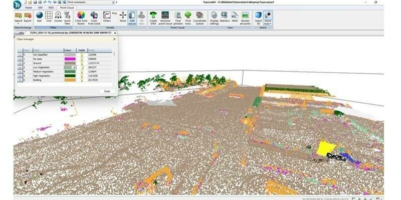
The Mapping & GIS sessions cover construction, coastal monitoring, LiDAR and agriculture with Topcon, Hexagon, NTT Data, Altametris, Coverdrone and more.
The Commercial UAV Show is two events: a world-class conference focused on the progression of the UAV industry; and, a technology exhibition showcasing the latest hardware and software innovations from the mega tech companies to the latest start-ups.
The Show takes place 15-16 November at the ExCel in London.
The full Show website can be seen here - www.terrapinn.com/uav
FOR MORE INFORMATION PLEASE CONTACT
Paul Gilbertson
Marketing opportunities and press relations:
t/ +44 (0)207 092 1245
[email protected]
Eddy Ryan
Sponsorship and exhibition opportunities:
t/ +44 (0)207 092 1154
[email protected]
Subscribe to our newsletter
Stay updated on the latest technology, innovation product arrivals and exciting offers to your inbox.
Newsletter

