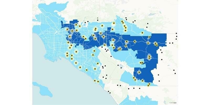
TomTom’s new Orbis Maps is the first to combine the best of open and proprietary data sources, delivering solutions across maps, traffic, and navigation
TomTom, the location technology specialist, announced a milestone in the roll-out of its new TomTom Orbis Maps. The maps now feature unprecedented coverage, including an 86 million kilometers of transportation networks. Combining the best of open and proprietary data sources and adding advanced visualization, TomTom's mapmaking platform delivers richer, fresher, and more visually attractive map content.
Drawing on the power of AI and machine learning, TomTom Orbis Maps taps into the richness of OpenStreetMap (OSM), with its millions of active editors. The company's mapmaking platform integrates this ‘super source’ with many other public sources and proprietary data to create a map that can power the most advanced use cases ranging from on-demand services to automated driving.
TomTom’s new Orbis Maps are based on the standard specification as agreed and promoted by the Overture Maps Foundation, co-founded by TomTom, AWS, Meta, and Microsoft, bringing uniformity and consistency to location data. The scalable way in which it manages and aggregates data becomes even more powerful as TomTom’s mapmaking platform supports the flexibility for customers to add their proprietary data to the map and build custom solutions.
Subscribe to our newsletter
Stay updated on the latest technology, innovation product arrivals and exciting offers to your inbox.
Newsletter

