Share
Innovative ‘Whole of Seabed’ approach helps plan seabed use up to 2050 including offshore wind
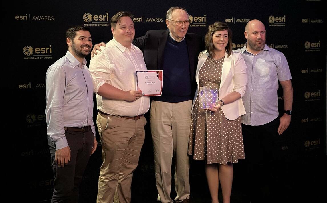
The Crown Estate has won an Esri ‘Special Achievement in GIS Award’ for its innovative programme that helps plan seabed use around England, Wales and Northern Ireland. Considered a world first, the spatial planning system was developed by The Crown Estate’s Marine and Digital teams and includes data from over 250 sources across ten sectors, allowing for scenario planning across a wide range of marine industries.
The Whole of Seabed approach uses Esri’s GIS (Geographical Information System) software to create scenarios which simultaneously consider the demands upon the seabed up to 2050, including offshore wind, carbon capture, telecoms and minerals, whilst protecting the interests of nature. This method has enabled The Crown Estate to play a key role in supporting the UK's position as a world leader in offshore wind development, a sector which generated enough energy to power 50% of UK homes last year.
The award was made at the Esri annual User Conference in California, one of the world’s largest geospatial industry events with around 40,000 physical and virtual attendees. ‘Special Achievement in GIS Awards’recognise organisations which are demonstrating geospatial leadership and setting new precedents for the global GIS community. More than 100,000 entries were submitted with the winners selected by Esri’s Founder and President Jack Dangermond.
“Users around the world are applying GIS in countless fields to take a geographic approach toward solving complex problems and global issues,” said Esri Founder and President Jack Dangermond. “It is my honour to recognise these organisations for their innovative work integrating geospatial technology across industries, helping to build a better world.”
By prioritising different data, The Crown Estate programme ensures all environmental, industrial and social interests and constraints are fairly represented. This delivers the best evidence available to support marine spatial planning. Scenarios are then compared in a dashboard to understand the differences in cost, constraint, or displacement, among other criteria.
“Geospatial innovation is helping The Crown Estate balance a green energy transition to net zero and nature recovery whilst creating a thriving marine economy”, said Gus Jaspert, Managing Director, Marine at The Crown Estate. “We are incredibly proud to win this award which is testament to our world-leading work in spatial analysis using Esri software, and a demonstration of our ongoing investment in digital technology and skills. It helps make sense of highly complex and competing demands on the seabed, driving better planning decisions for the benefit of the nation for years to come.”
The Crown Estate is an independent company which manages a diverse £16bn portfolio, including the seabed and much of the coastline around England, Wales and Northern Ireland, urban centres and development opportunities. Through the management of its portfolio, company is helping to solve some of the nation’s major challenges, including delivering net zero and the energy transition, enhancing biodiversity and nature recovery, and creating thriving communities by stimulating regeneration and economic growth.
“With an increasingly busy seabed, it is critical that development decisions are based on robust data and evidence”, commented Michelle Moore, Spatial Planning Director, The Crown Estate. “Advanced Esri spatial analysis tools allow us to tackle complex, multidimensional problems in an open and transparent way. Our unique ability to plan for the long-term and convene a wide range of stakeholders, helps us to balance all interests to achieve the best outcomes for net zero, nature and economic growth.”
Pete Wilkinson, Managing Director, Esri UK said: “The Crown Estate’s approach is a best-in-class example of how geospatial expertise can deliver valuable outcomes. True innovators in marine spatial planning, the team’s work is of national importance making them a very worthy winner of the award.”
Subscribe to our newsletter
Stay updated on the latest technology, innovation product arrivals and exciting offers to your inbox.
Newsletter