Share
Subscribe to our newsletter
Stay updated on the latest technology, innovation product arrivals and exciting offers to your inbox.
NewsletterBy [email protected] - 22nd February 2018 - 09:39
Stay updated on the latest technology, innovation product arrivals and exciting offers to your inbox.
Newsletter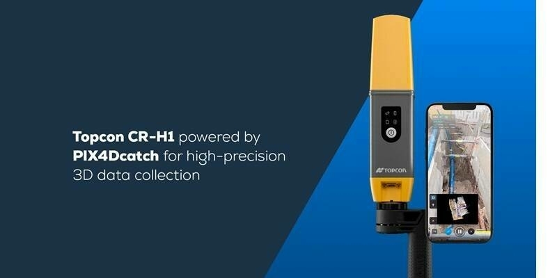
16th April 2025
PIX4Dcatch is an integral component of Topcon’s newest handheld scanning solution, the CR-H1, designed for accurate reality capture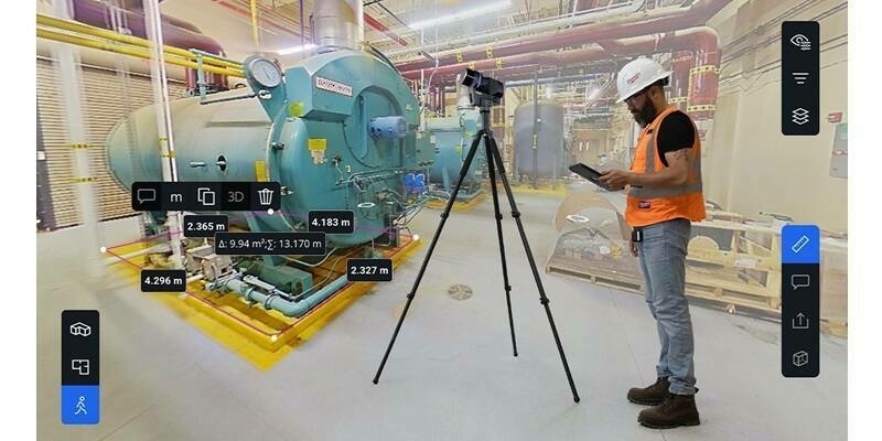
16th April 2025
Introducing Blink by FARO Technologies: Reality Capture Reimagined with Stunning Visuals, Automated Workflows and One Touch Insights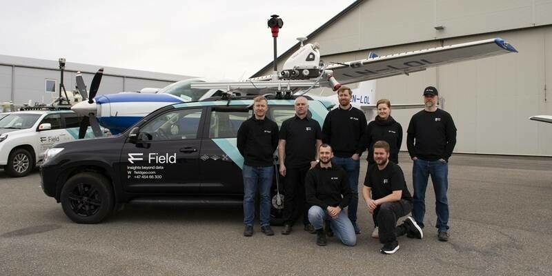
15th April 2025
Field Geospatial Enhances Global Leadership with Cutting-Edge RIEGL Mobile Mapping Technology in the Nordic Regions