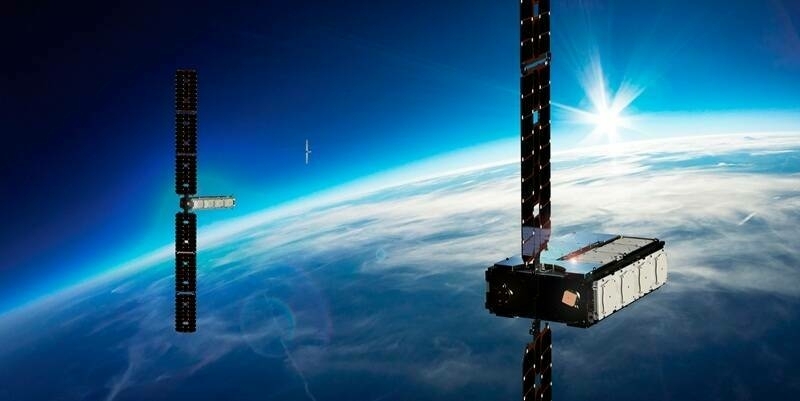
Cambridge, ON – January 16, 2017– exactEarth Ltd. (TSX: XCT), the leading provider of Satellite AIS data services, announced the successful launch of four hosted payloads for its next generation constellation, exactView™ RT powered by Harris. Launched aboard an Iridium NEXT satellite on SpaceX’s Falcon 9 rocket from Vandenberg Air Force Base in California, these hosted maritime payloads are now being commissioned and are expected to be brought into service within the next four months. The exactView RT system is the result of the agreement signed with Harris Corporation in June 2015 under which Harris deploys and operates the hosted payloads and exactEarth performs the ground-based data processing and has exclusive distribution rights for the data for all markets except the US Government.
exactView RT will offer for the first time a continuous, global real-time ship tracking capability, providing an unprecedented view of the world’s maritime domain to exactEarth customers. Designed to provide significant improvements to current and future customers, the RT satellites will deliver best-in-class vessel detection rates as well as instantaneous downlinking of AIS information. This will enable average global revisit rates of under one minute with the Company’s customers receiving data in real time. exactView RT will consist of more than 60 payloads (including in-orbit spares) aboard the Iridium NEXT constellation, which is scheduled for completion in 2018.
“These launches will enhance our service level and open-up the potential for new revenue streams from a broader range of market applications,” said Peter Mabson, CEO of exactEarth. “As the various satellites become operational, it will mark the beginning of our move towards a continuous real-time global vessel-tracking service capability. As a result, these initial launches represent a major milestone on this path under our alliance with Harris, which we believe will be one of the Company’s key long-term growth drivers.”
Subscribe to our newsletter
Stay updated on the latest technology, innovation product arrivals and exciting offers to your inbox.
Newsletter

